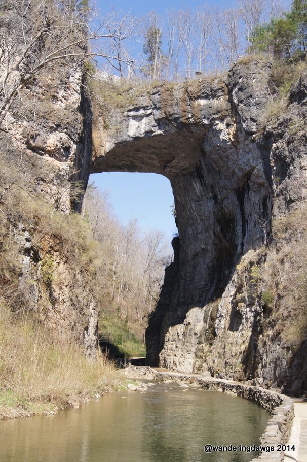
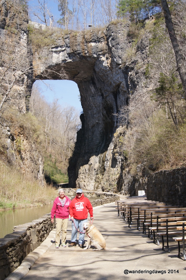
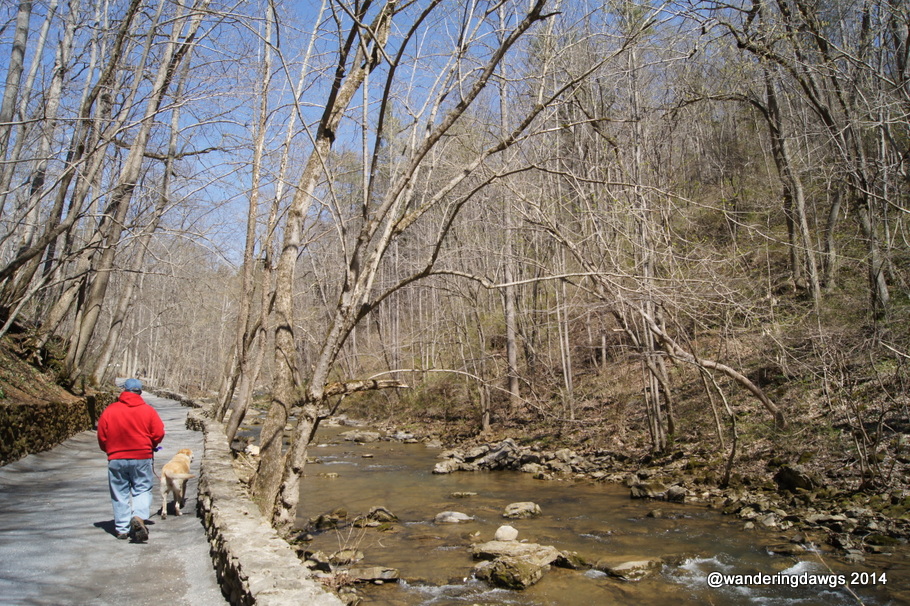
Our mountain journey continued at Virginia’s Natural Bridge where we walked along the nature trail beside Cedar Creek to the Natural Bridge and Lace Falls. The bridge and trail are privately owned and beautifully maintained.
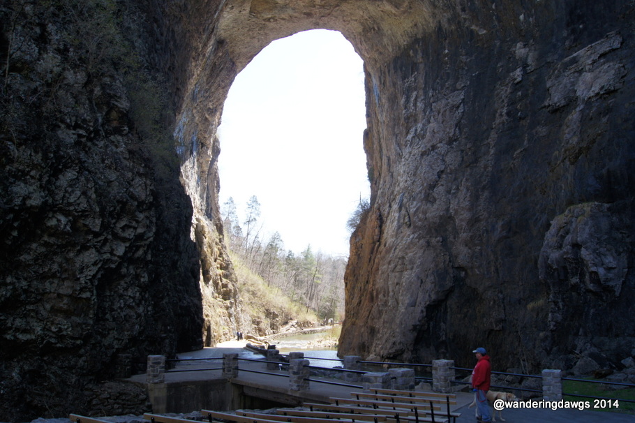
The arch is 215 feet high, 55 feet higher than Niagara Falls. It is 40 feet thick, 100 feet wide, and is 90 feet between the walls. Highway 11 crosses over the bridge.
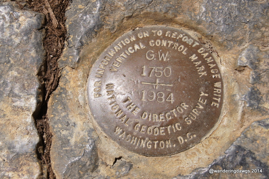
George Washington surveyed the bridge and the surrounding area in 1750. What is believed to be his initials can be seen high up on one of the walls.
The warm, sunny spring day was perfect for walking along the nature trail.
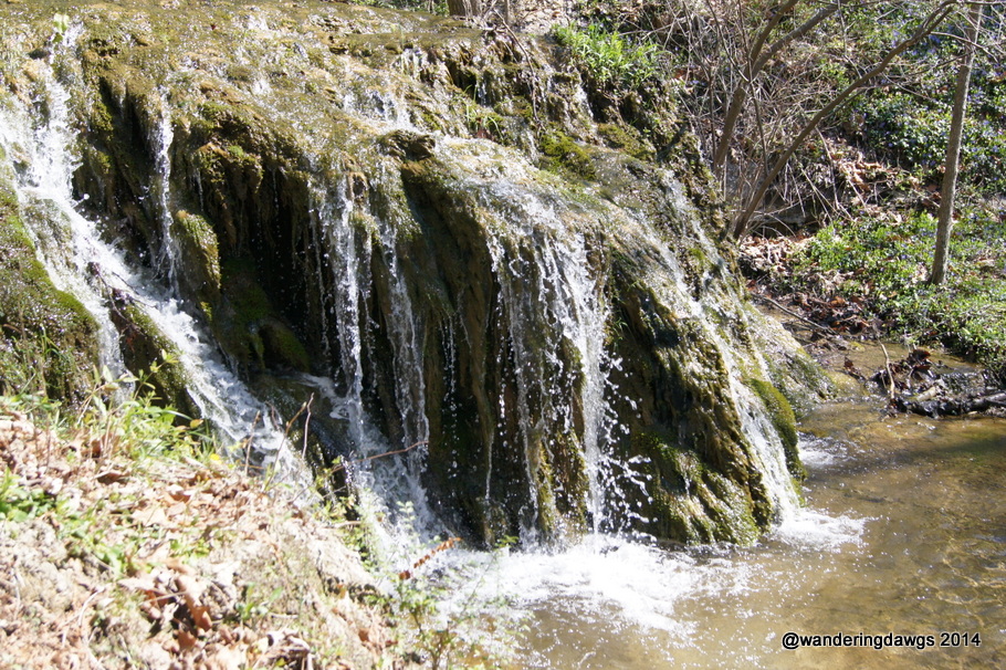
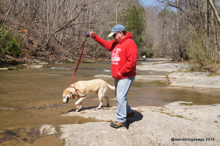
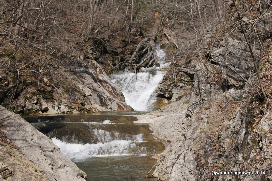
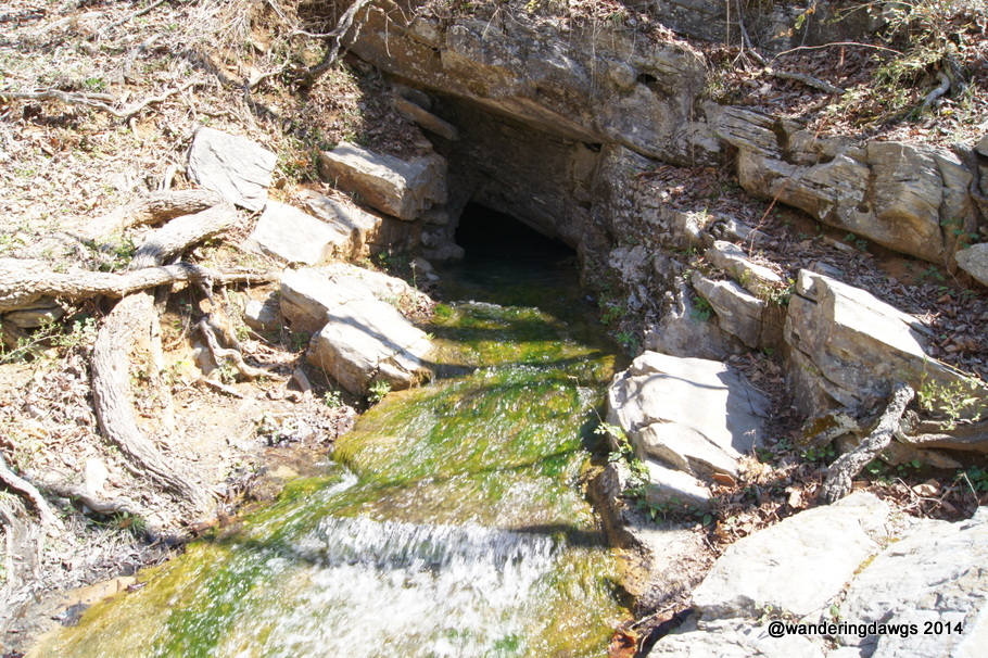
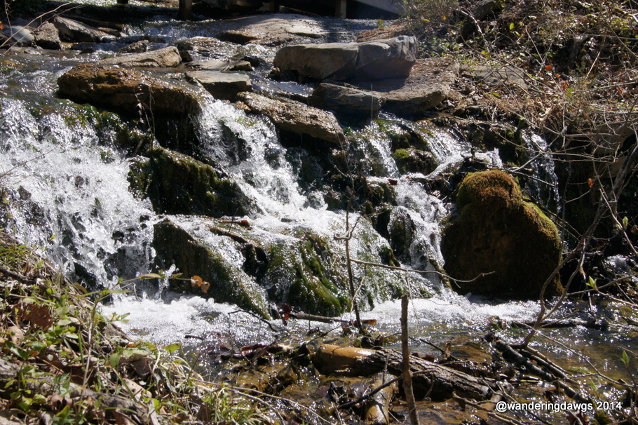
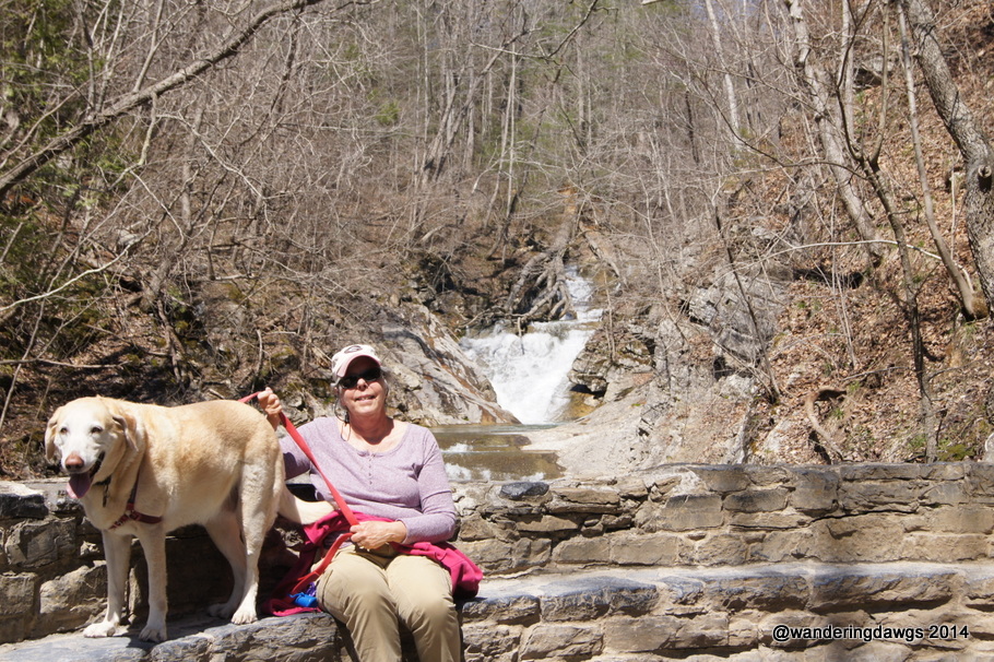
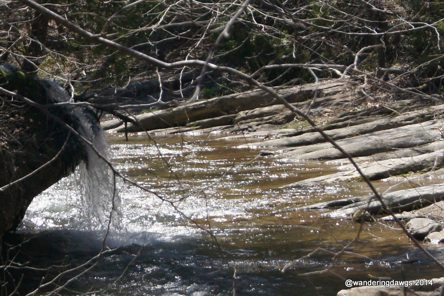
Natural Bridge, VirginiaSmall waterfall beside the trail at Natural Bridge, VirginiaThe trail next to Cedar CreekBlondie got to play in the creekThe trail ends at beautiful Lace WaterfallThe Lost River flowing from the mountainAnother small waterfall in the creekRelaxing at Lace WaterfallView of the bridge as we returned from our hikeWaterfall on Cedar CreekSurvey Marker with George Washington’s initials from 1750
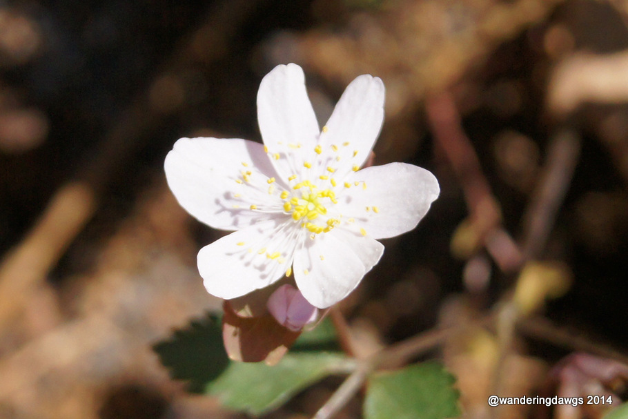
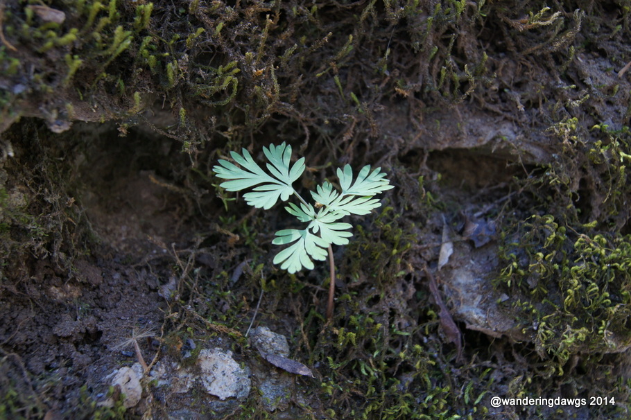
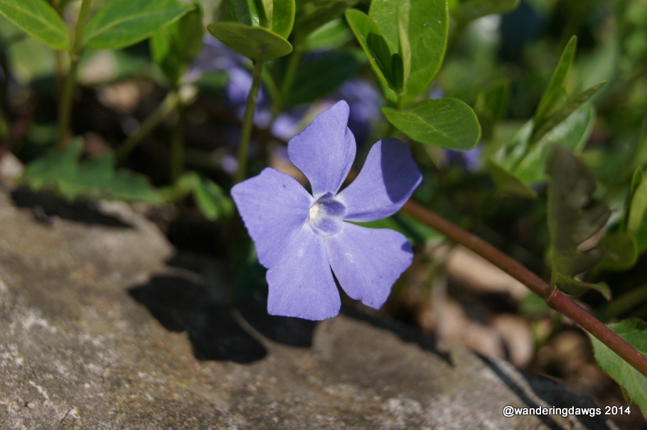
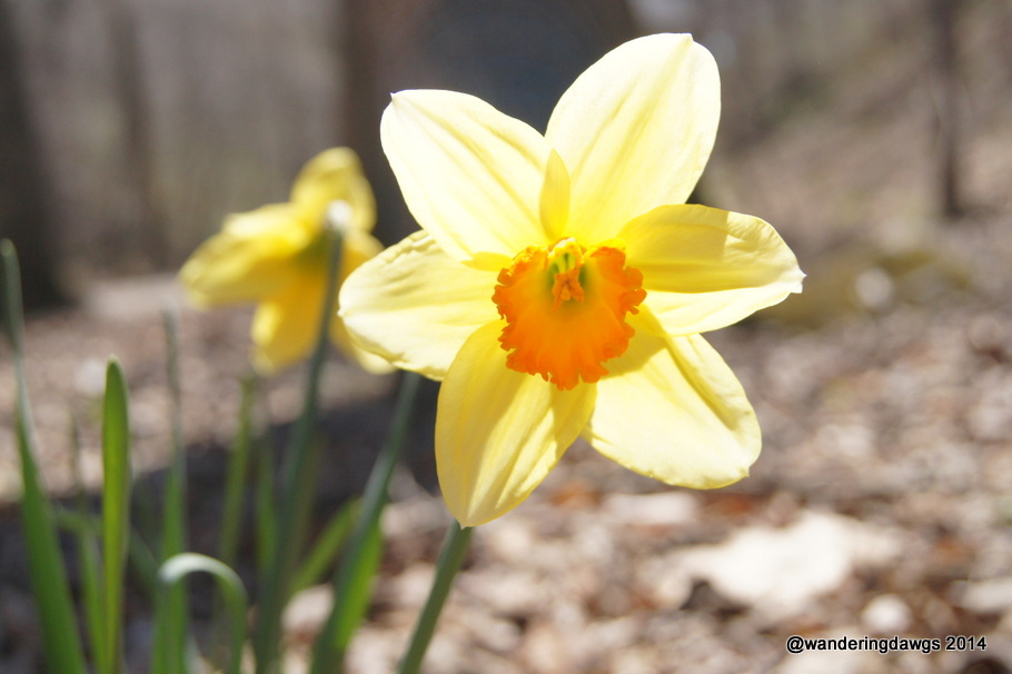
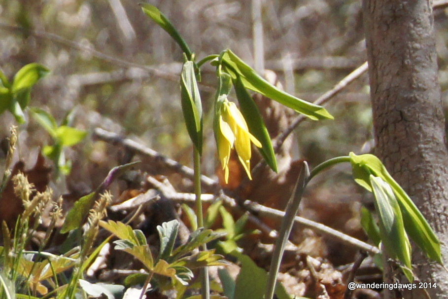
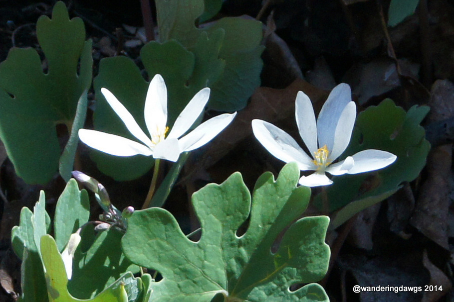
Wildflowers were blooming all along the trail
I think this is DewberryMoss surrounds this wildflower growing in the rock wallPerriwinkleDaffodil beside the trailYellow wildflower beside the trailWildflowers beside the trail
We camped for 2 nights at the Natural Bridge KOA, about 5 miles from the Natural Bridge.
Day 75: Monday, July 29, 2013. Homer, Alaska to Williwaw Campground on Portage Glacier Road in the Chugach National Forest near Whittier, AK. About 180 miles traveled.
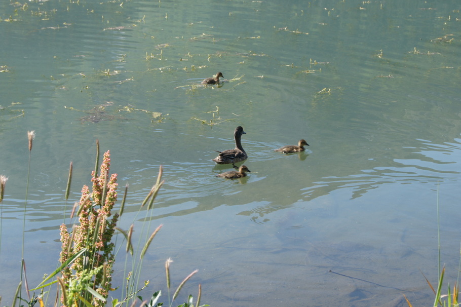
We enjoyed our time in the Kenai Peninsula but it was time to move on to our next Alaska Adventure. The sky was clear when we woke up and we watched the boats going out into the bay before we left. The drive north through the Kenai was beautiful and as always we kept an eye out for moose. Unfortunately, there were no moose to be seen! The only wildlife of the day was a family of ducks at a rest stop at Tern Lake
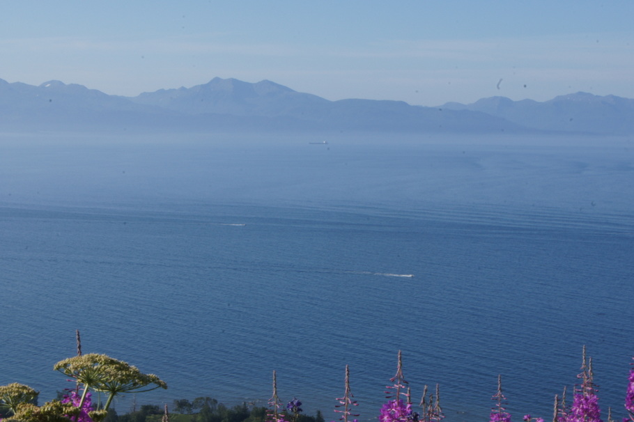
We enjoyed watching the boats going out in the bay our last morning in HomerMama and baby ducks at Tern LakeIt was peaceful at Tern Lake
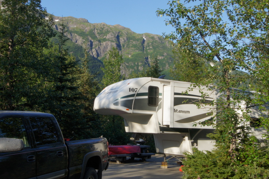
After staying in private RV parks, city parks, national parks, state and provincial parks, we spent two nights in the first United States Forest Service park of the trip. The road through the campground is paved and each site has a paved pad. When the last few weeks have almost all been in gravel, parking lot type campgrounds it was such a treat to have no dust! Our site was surrounded by trees and wildflowers and we had a large picnic table and fire ring. A perfect place to relax.
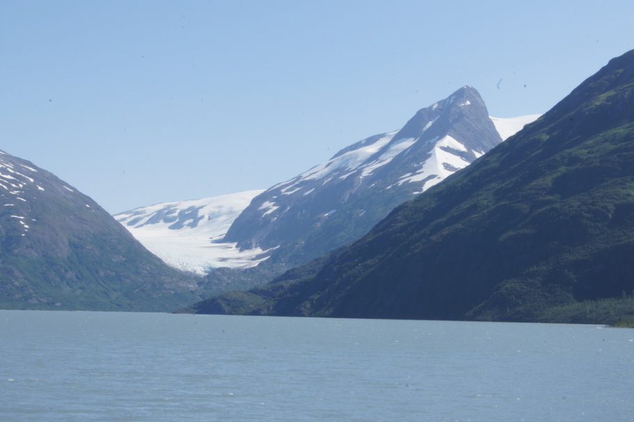
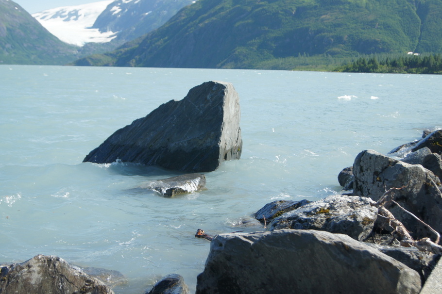
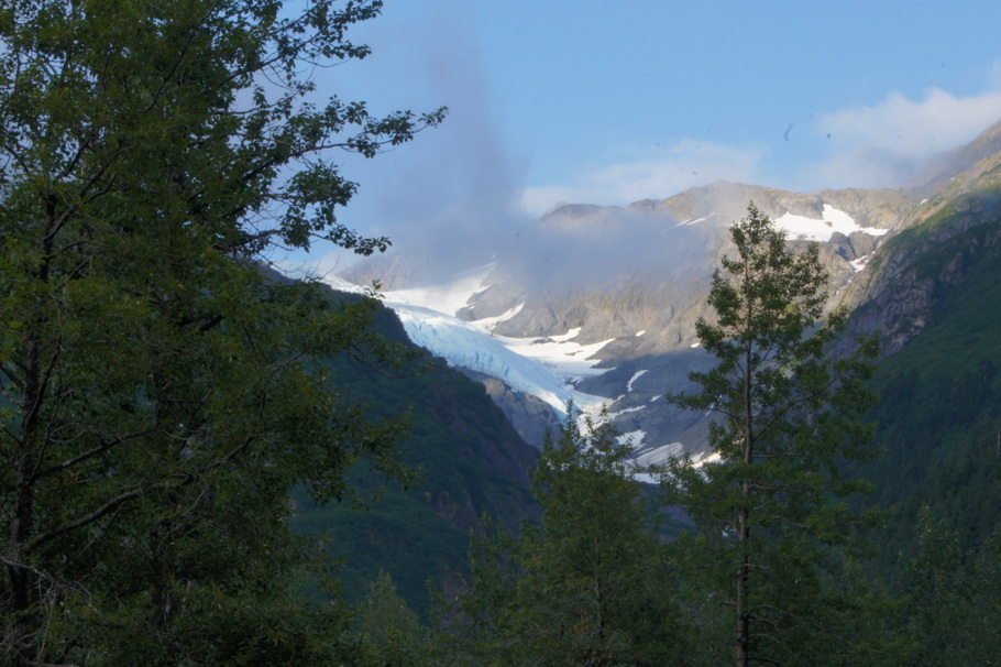
The campground is located on Portage Glacier Road which leads to Portage Lake and then the town of Whittier. There are several glaciers in the area which can be seen from the visitor’s center at Portage Lake and from the campground. The only way to see the Portage Glacier is to take a cruise on the lake. We decided to pass on the cruise and enjoy the ones we could see from land.
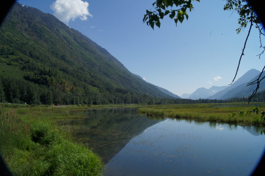
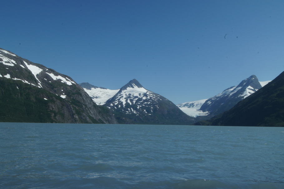
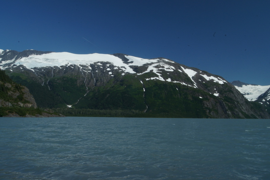
Glacier view from the visitor’s center at Portage LakePortage LakePortage Lake just a couple of miles from our campgroundAnother glacier at Portage LakePortage LakeView out our back window at WilliwawBeautiful campsite at Williwaw Campground in Chugach National ForestView from the campground
Day 76: Tuesday, July 30, 2013
Our campground was so beautiful the truck didn’t move all day. We started the day by going to a salmon viewing platform where salmon can be seen in the creek when they are spawning in August. We were just a few days too early and never saw any. After seeing no fish we went for a hike along the Williwaw Nature Trail.
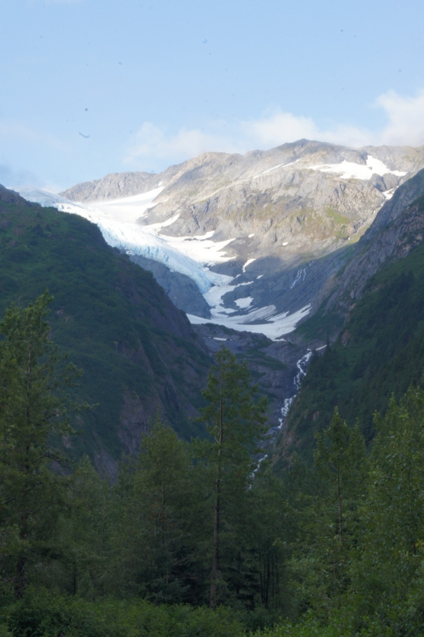
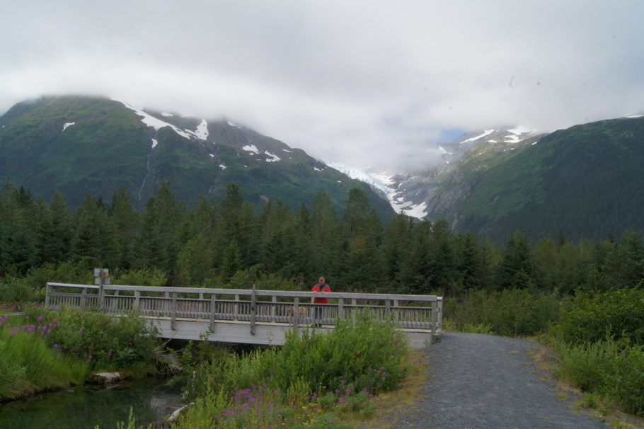
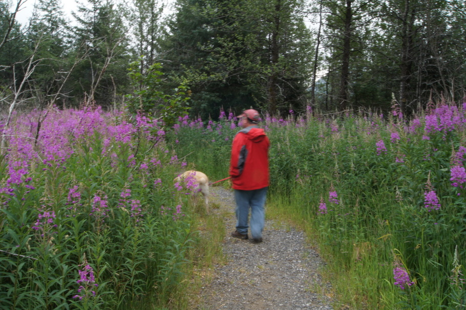
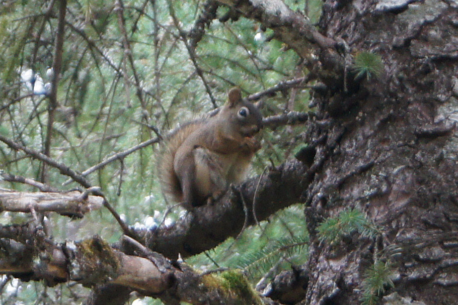
Fog over the glacier early in the morningThere’s a waterfall in the middle of the pictureGlacier and waterfallNo salmon in the creek yetWhat a view from the nature trailWe walked through really tall fireweedThe only wildlife we saw on our hike
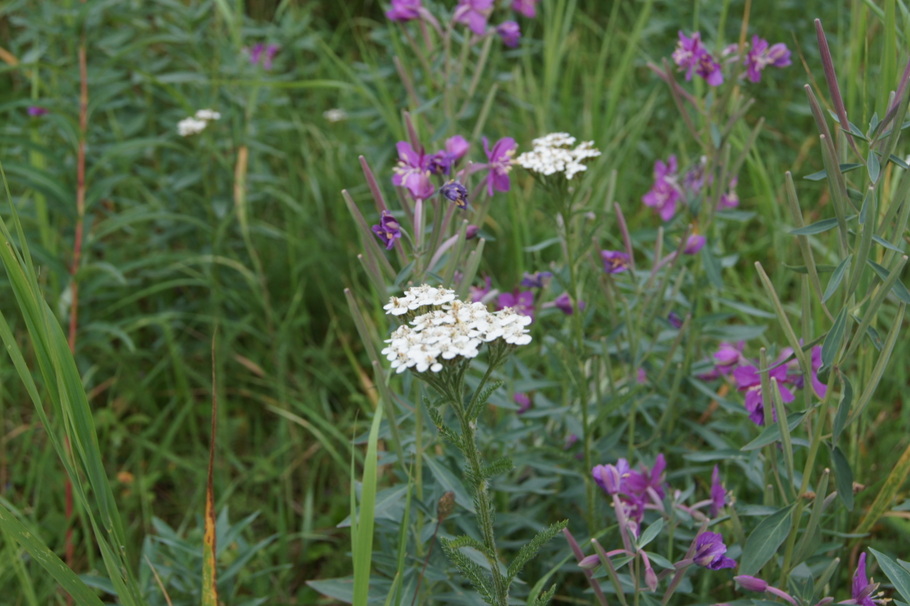
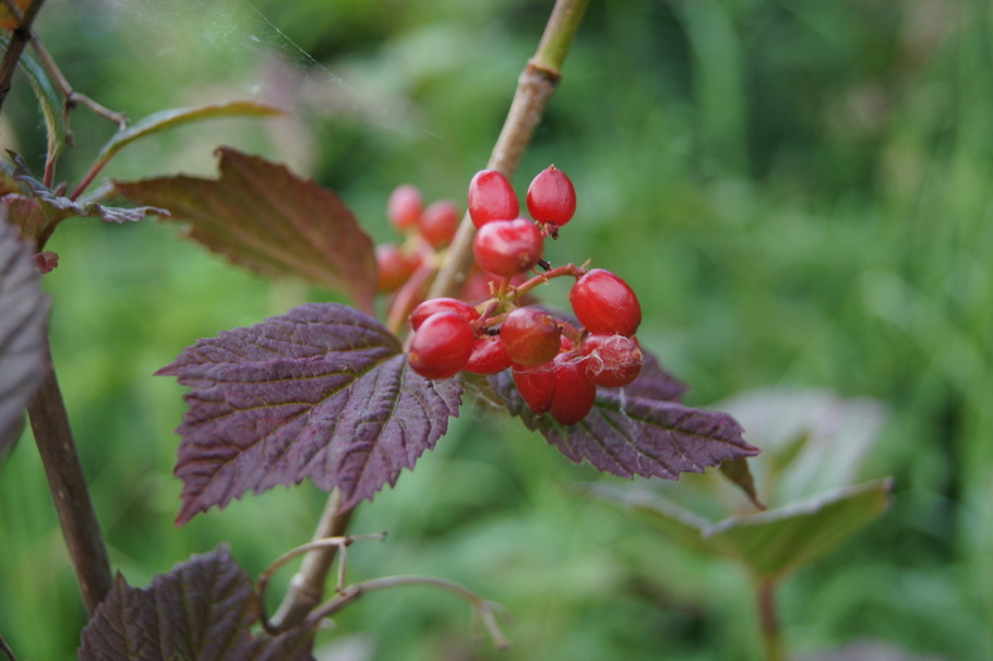
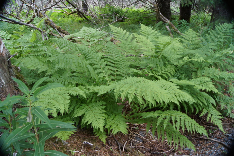
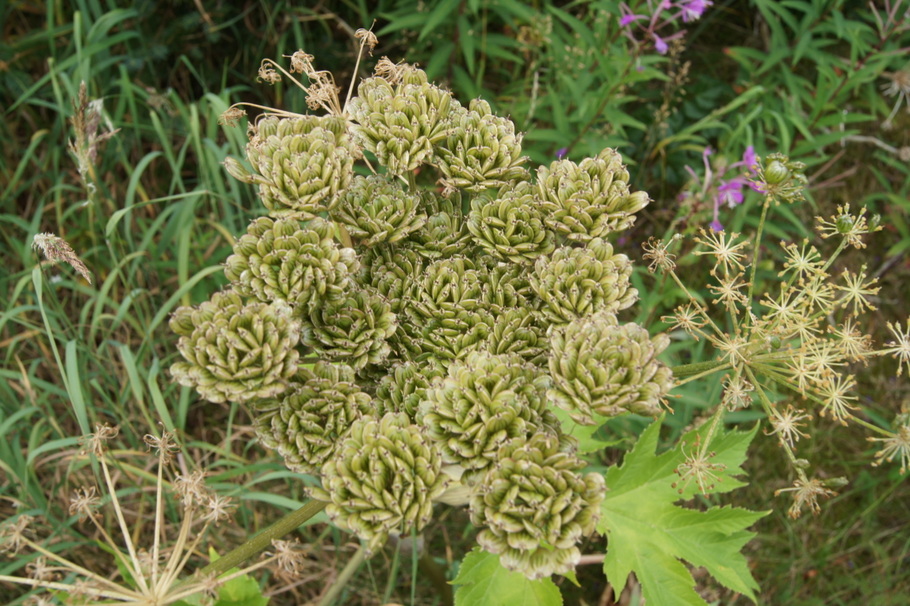
The wildflowers were beautiful in the campground
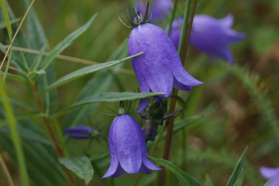
Bluebells of ScotlandNorthern Yarrow and Wild GeraniumI think this is a high bush cranberryFerns covered the ground beneath the treesCow Parsnip
Our journey through Alaska is nearing the end. Soon we will have to leave this beautiful state and start heading home.
Day 73: Saturday, July 27, 2013. Ninilchik, Alaska to Homer, Alaska. Baycrest RV Park Site 44. 35 miles traveled.
Delicious lunch at Captain Pattie’s on the Homer Spit
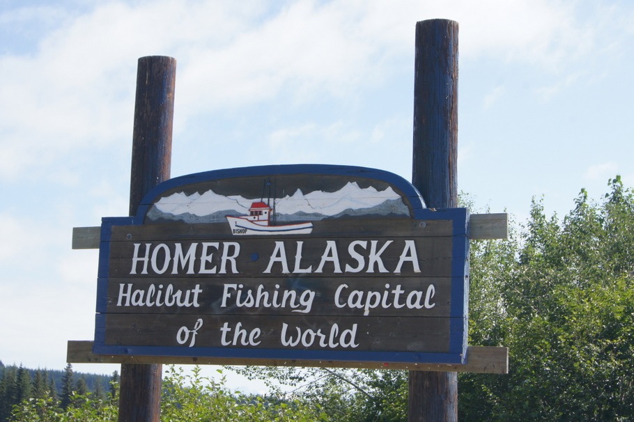
Foggy skies greeted us as we drove south to Homer, Alaska, our next destination on the Kenai Peninsula. We had chosen a campground for its spectacular views from a bluff overlooking Kachemak Bay. The fog was so thick we couldn’t see anything so we drove to the Homer spit for some lunch at Captain Pattie’s. The Homer spit is a long, narrow piece of land with several campgrounds, a small boat harbor, and many restaurants, shops, and bars. Tourists were everywhere on this Saturday afternoon and parking spaces were rare but we found a spot in front of the restaurant and enjoyed a lunch of halibut and clam chowder.
After a stop at Safeway for some much needed groceries we spent the rest of the afternoon enjoying our view from the campground. Several eagles were soaring over the bluffs. It doesn’t get much better than this.
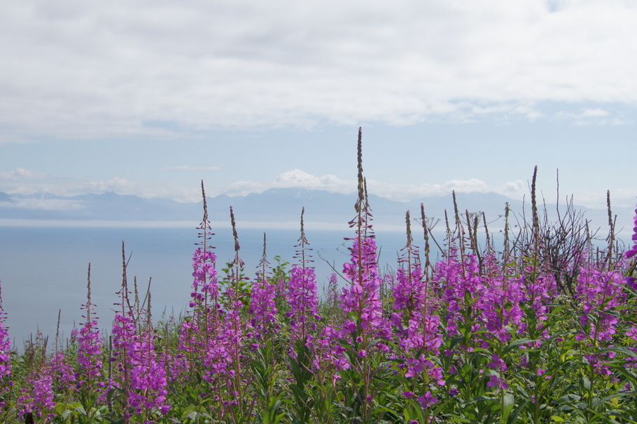
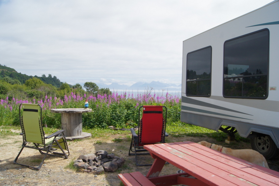
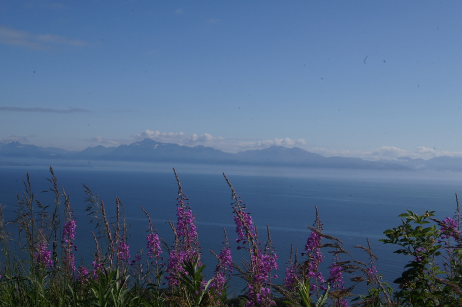
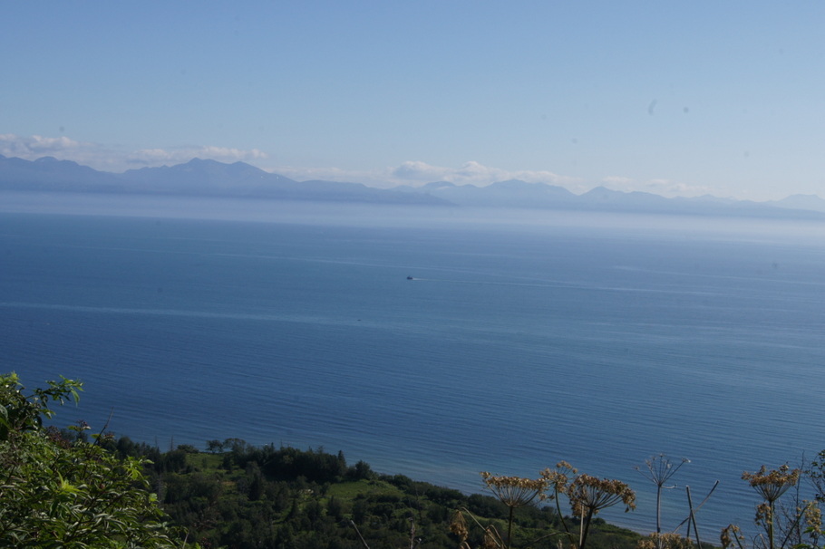
Fireweed behind our campsite made the beautiful view even betterOur campsite overlooks Kachemak BayBeautiful day in Homer, AlaskaView out our back window from Baycrest RV Park, Homer, AlaskaLoved this cloud over the waterEagle soaring overhead in Homer
Day 74: Sunday, July 28, 2013
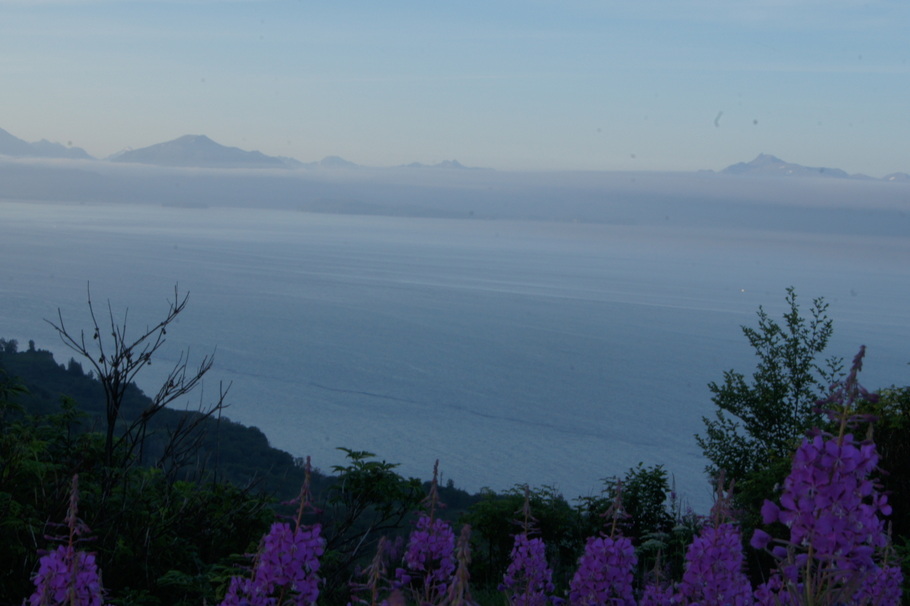
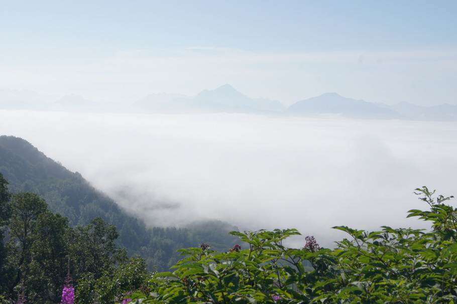
The fog rolled in over the water early in the morning. It was eerie looking down over the fog.
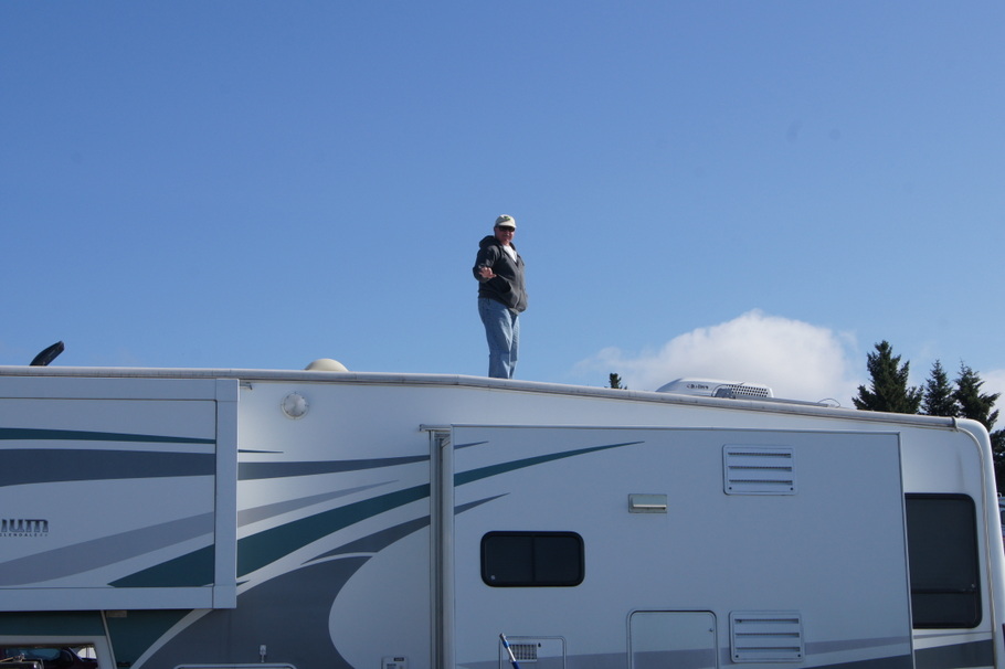
Early morning fog rolling in over the waterHenry went up on the RV for a better viewWe were above the fogMore fog
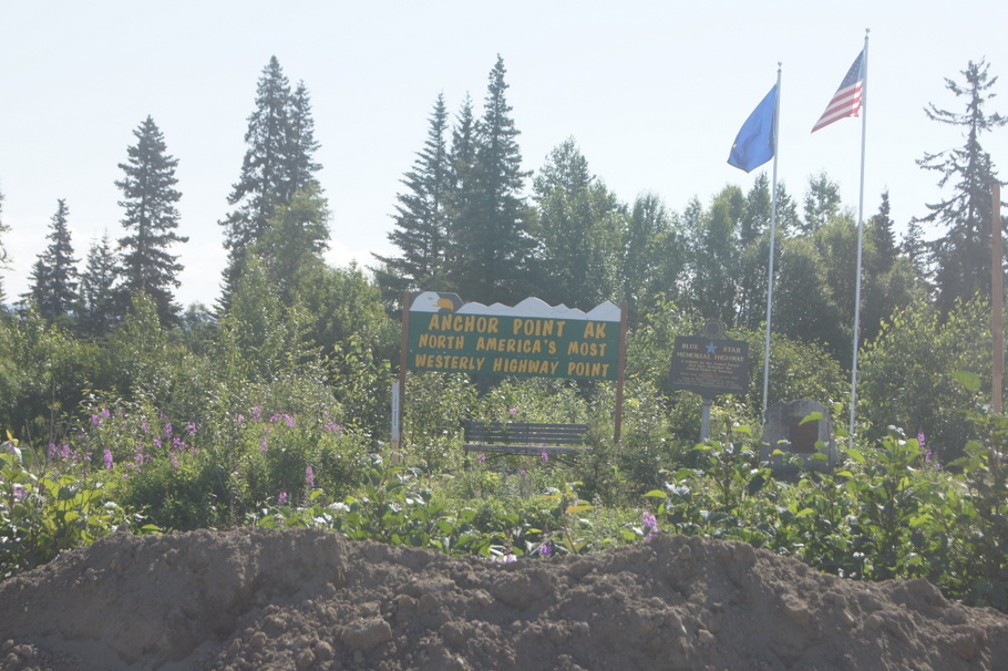
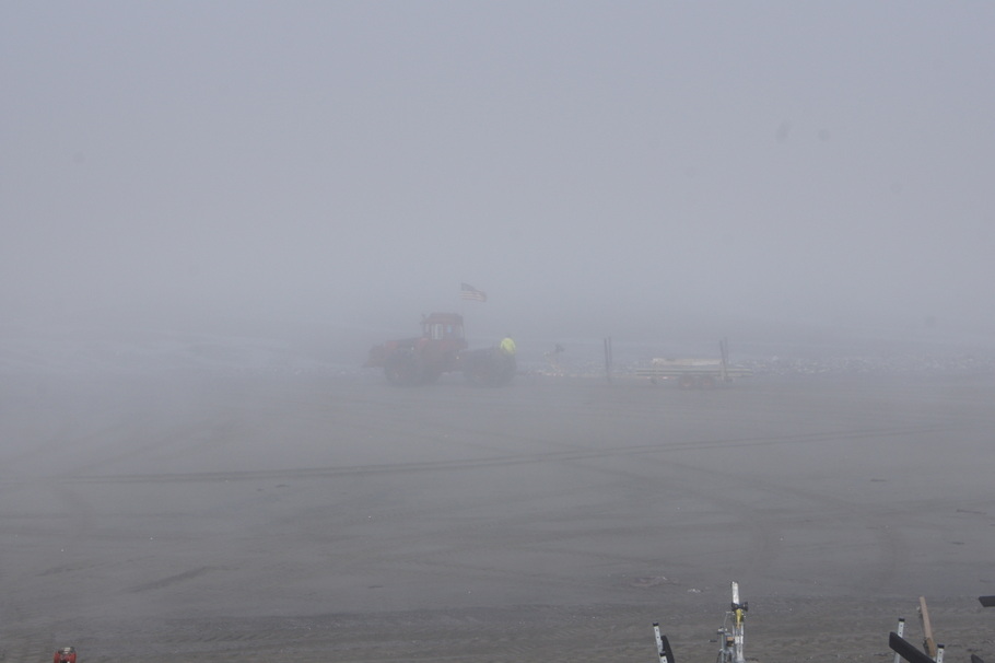
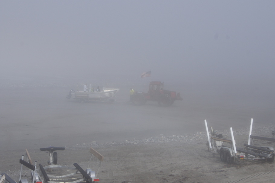
After a home cooked breakfast of sourdough french toast and reindeer sausage we took a drive to Anchor Point, the western most point reached by highway in North America. We stopped at the beach to watch the tractors bring in boats from the water like in Ninilchik. It was so foggy the tractors beeped to help the boats find them.
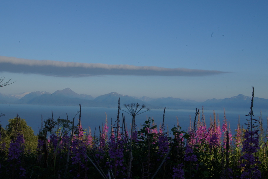
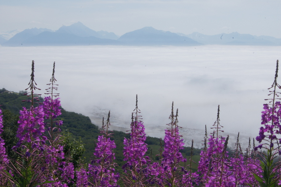
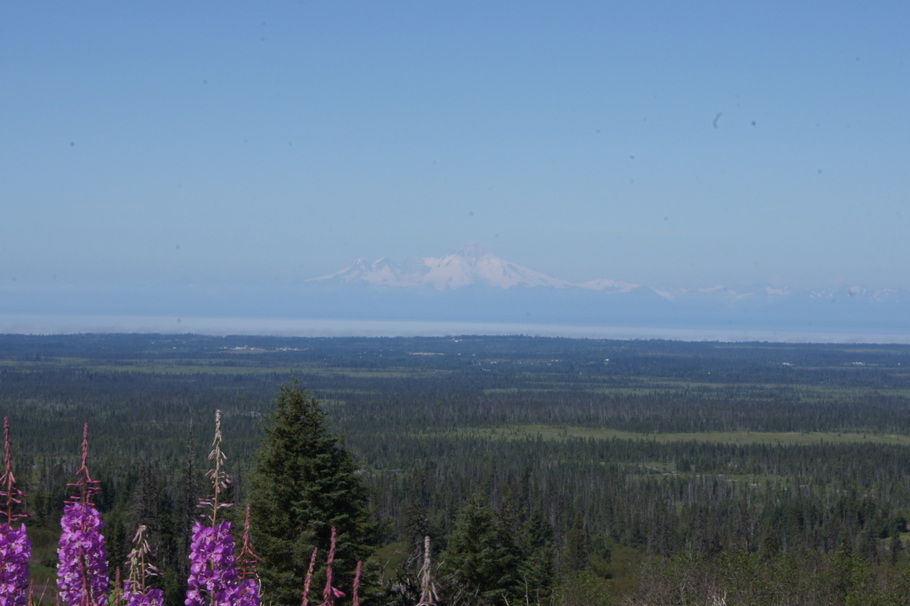
From Anchor Point we took a drive on the North Fork Loop Road where we saw hillsides covered with fireweed and views of two volcanoes.
Anchor Point is the most westerly highway point on a continuous road system in North AmericaTractor at Anchor Point bringing in a boat in the fogBringing in another boat. It was so foggy we couldn’t even see the water.
The volcano Mount Iliamna is in the distance
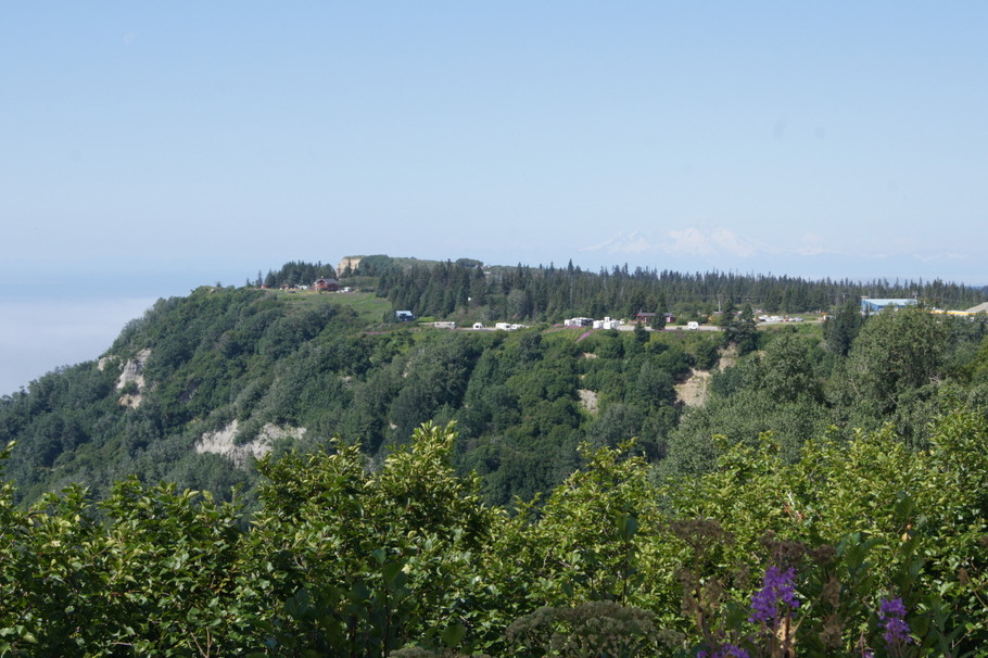
We dropped Blondie off at the RV and took a drive down to the spit. We stopped at the Baycrest Overlook where we could see our campground. As we drove along the road a bald eagle was flying at eye level over the beach close to my window. He stayed beside us for a while. What a treat.
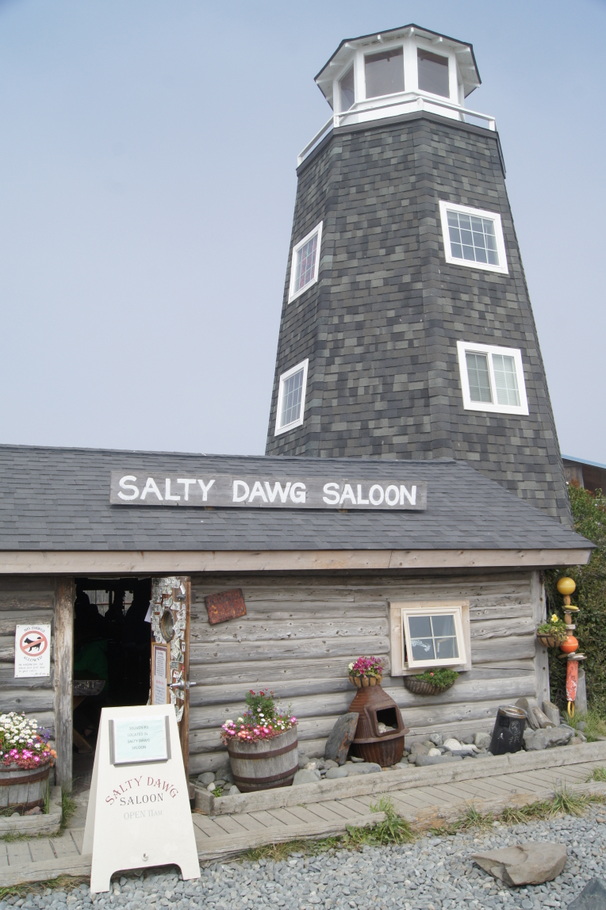
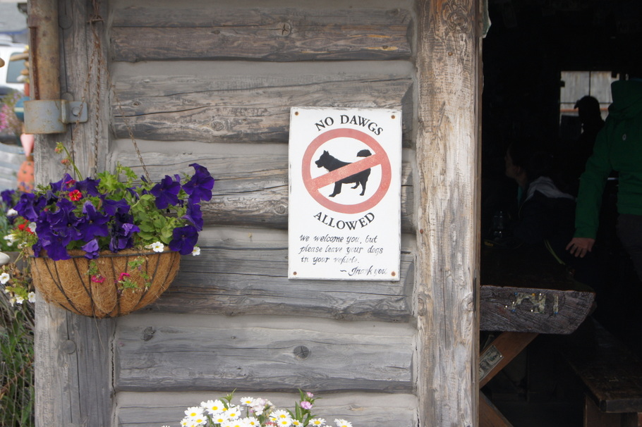
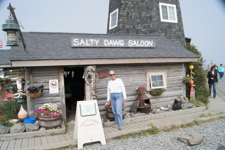
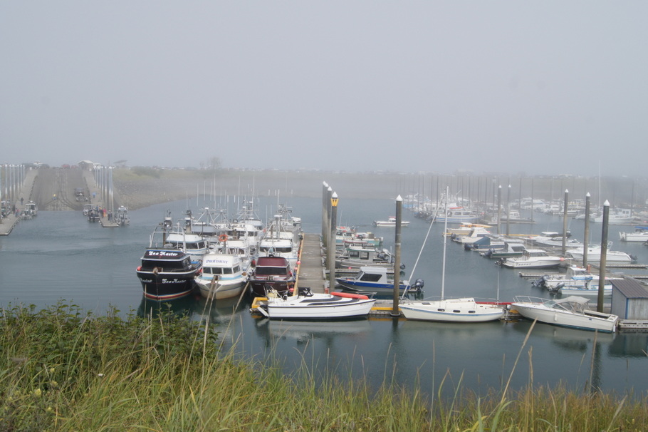
As the former owners of several boats named Salty Dawg, we had to stop at the Salty Dawg Saloon for a beer. We finished our tour of the Homer area with a stop at the small boat harbor.
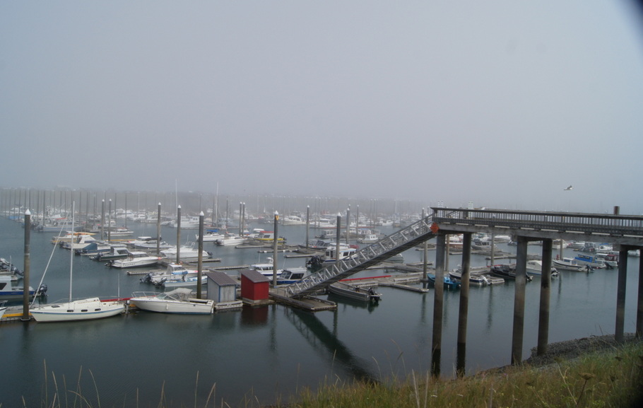
View of our campground from Baycrest overlookThe sign says it all. A perfect day for a beer at the Salty Daw SaloonNo dawgs allowed at the Salty Dawg Saloon. We went in anyway.Beth at the Salty Dawg SaloonHomer small boat harborSmall boat harbor at low tide
Henry had just built a fire when Ted and Ruth Ann arrived from Ninilchik. They had been on a halibut fishing trip in the morning and were pretty exhausted after each catching their limit. We visited with them and some campers from Missouri while watching more eagles and enjoying our fabulous views.
Our plan for the day was to ride the bus up to the Polychrome Overlook and take a hike. When we awoke to a steady rain we decided to wait to see if it would clear up. The rain continued all day so we took a couple of short hikes around the campground instead.
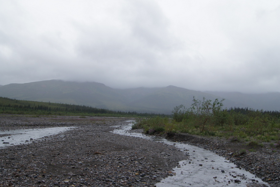
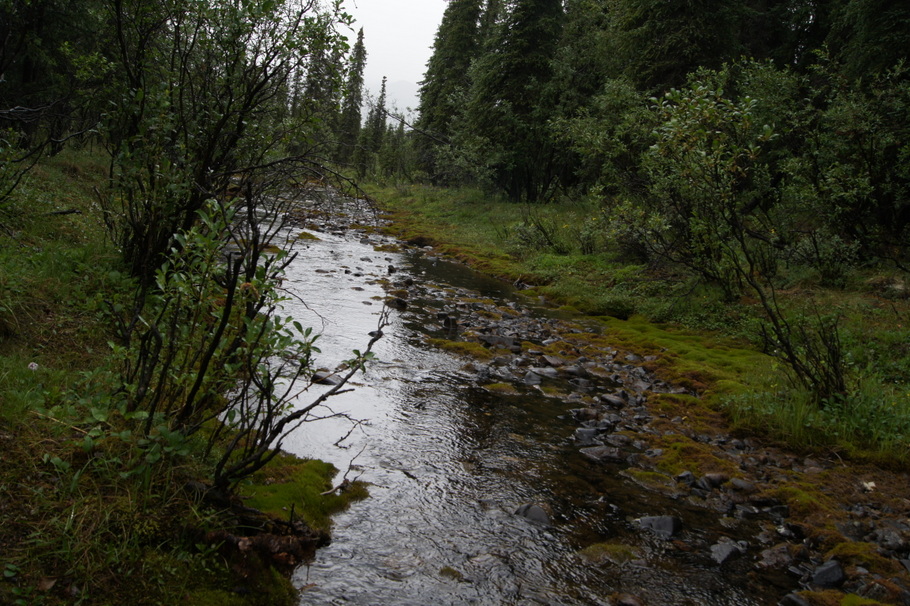
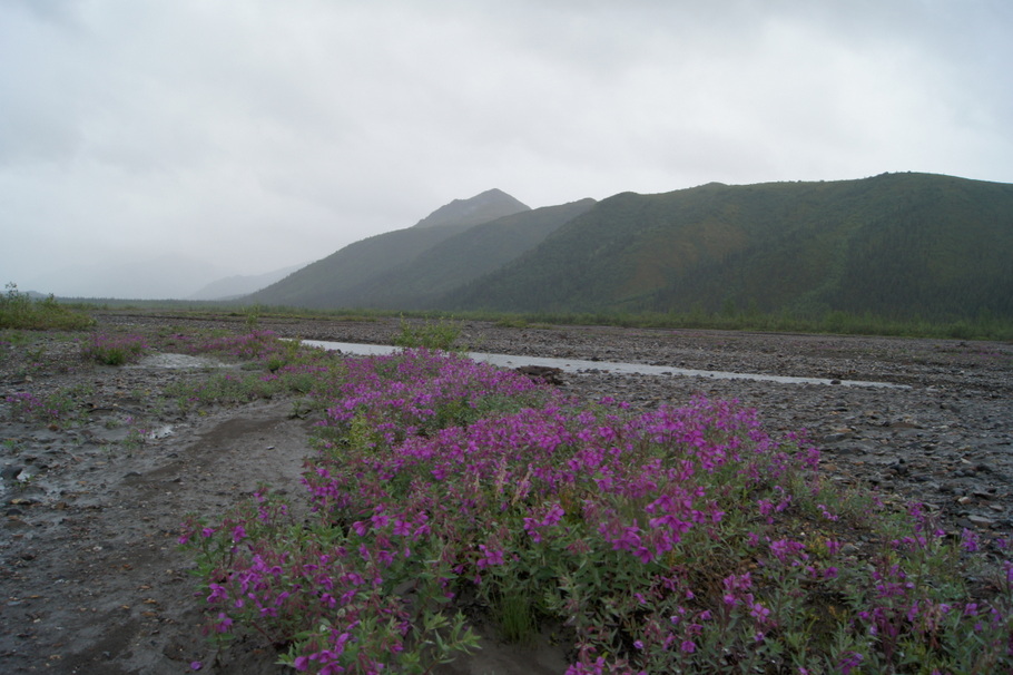
Morning walk near our campsiteWe took a walk out to the Teklanika River in the rainThe stream runs along the edge of the campgroundWildflowers growing in the middle of the riverbed
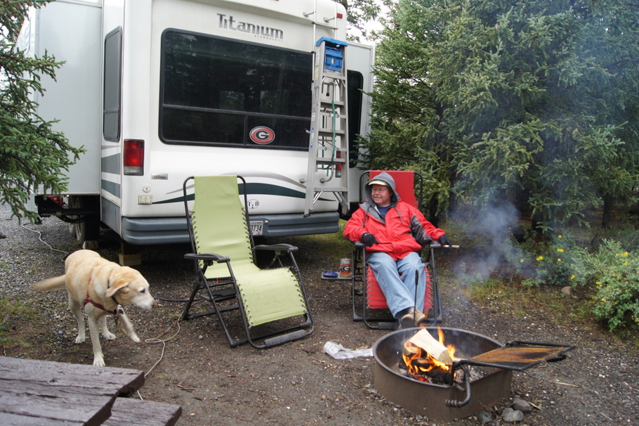
The rain finally let up a little later in the afternoon so we spent the rest of the day relaxing by the campfire.
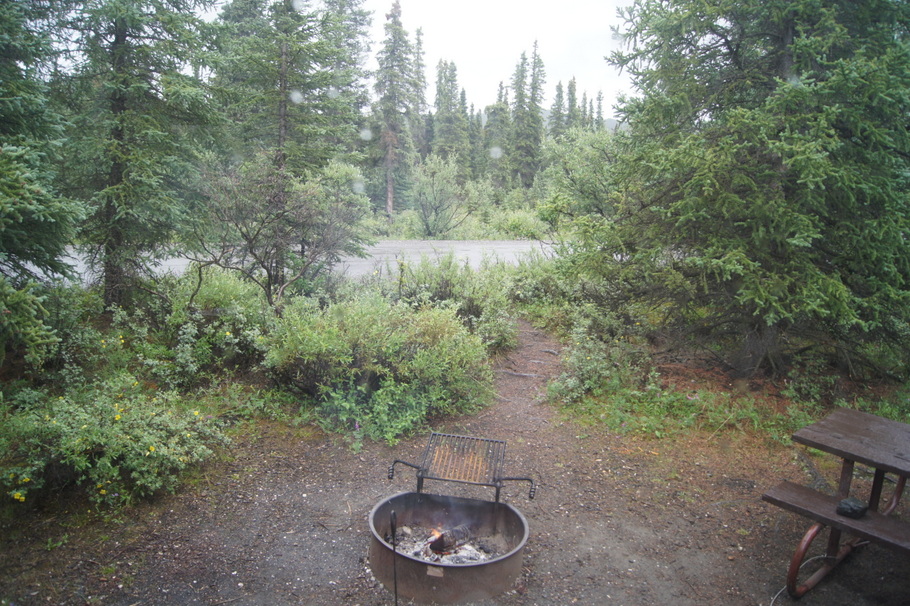
Henry and Blondie enjoying the fireNow this is the kind of view I like out our back window
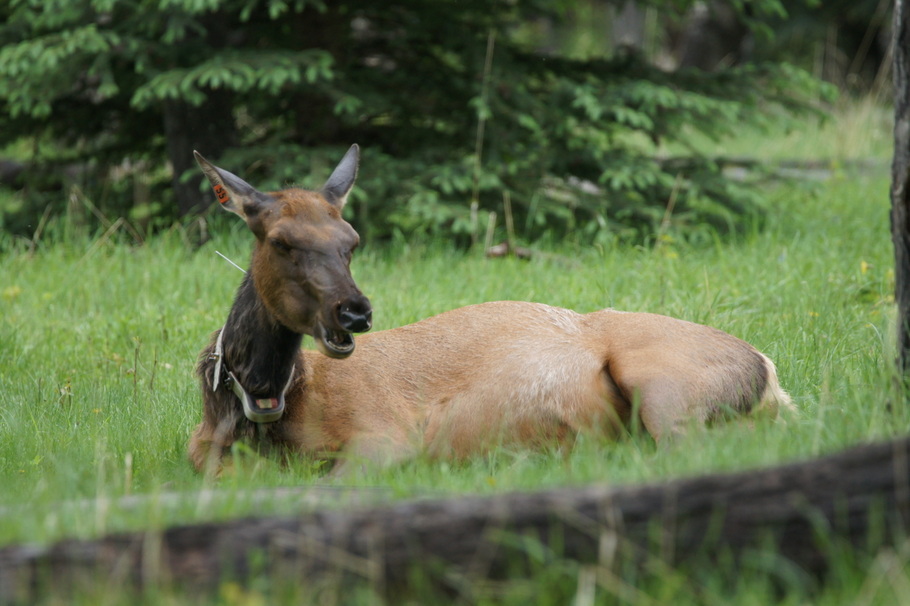
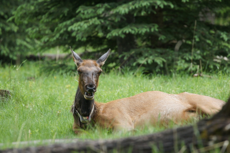
This elk was there to greet me as Blondie and I took our morning walk
Blondie and I were surprised to find an elk next to the dumpster in the campground as we made our morning walk! I didn’t even see her until we were very close to her. What a great way to start the day!
The rain started coming down as we were ready to go out and explore the area. The town of Jasper has a few blocks of restaurants and shops. We enjoyed a nice breakfast at LuLu’s Cafe and did a little shopping at an outdoor outfitters shop. We had the same idea as many other people and went to the Visitor’s Center to check email. The place was packed with many people checking their phones, computers, and tablets for news from home. The connection was slow so we gave up and decided to go on a drive recommended by the clerk at the outdoor store.
Bear are frequently sighted on the Marmot Basin drive so off we went in search of bear. The narrow road climbs to a ski area which is closed for the season. It winds beside rivers and lakes with views of the mountains. There were no bears but it was fun looking.
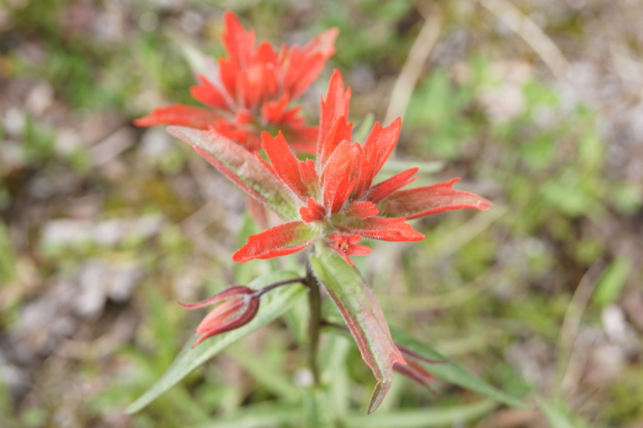
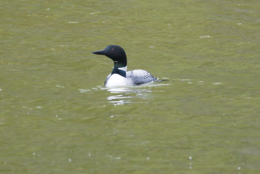
We didn’t find any bears but we had some beautiful scenery on the Marmot Basin DriveIndian Paintbrush grew beside the roadLoon, Jasper National Park, Alberta
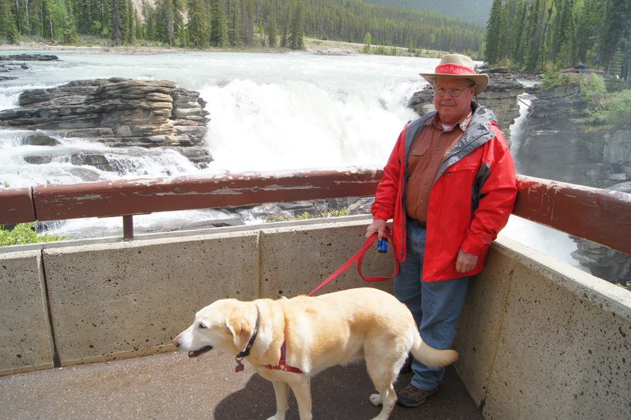
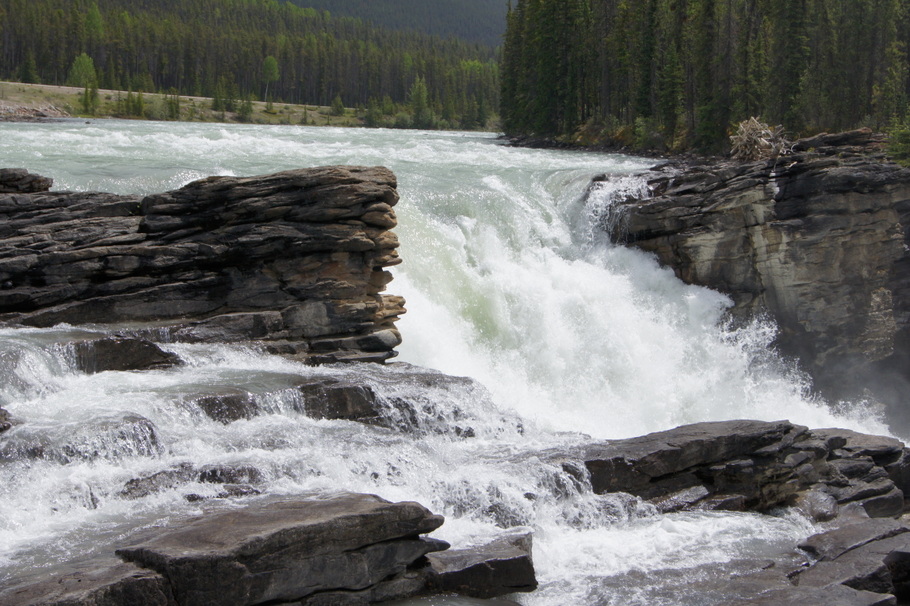
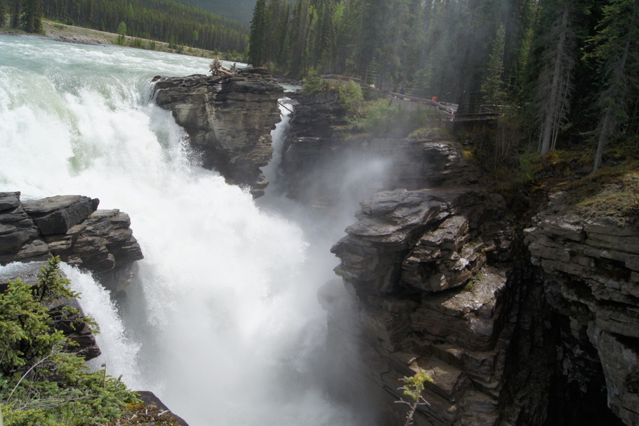
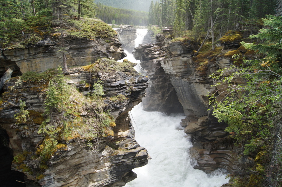
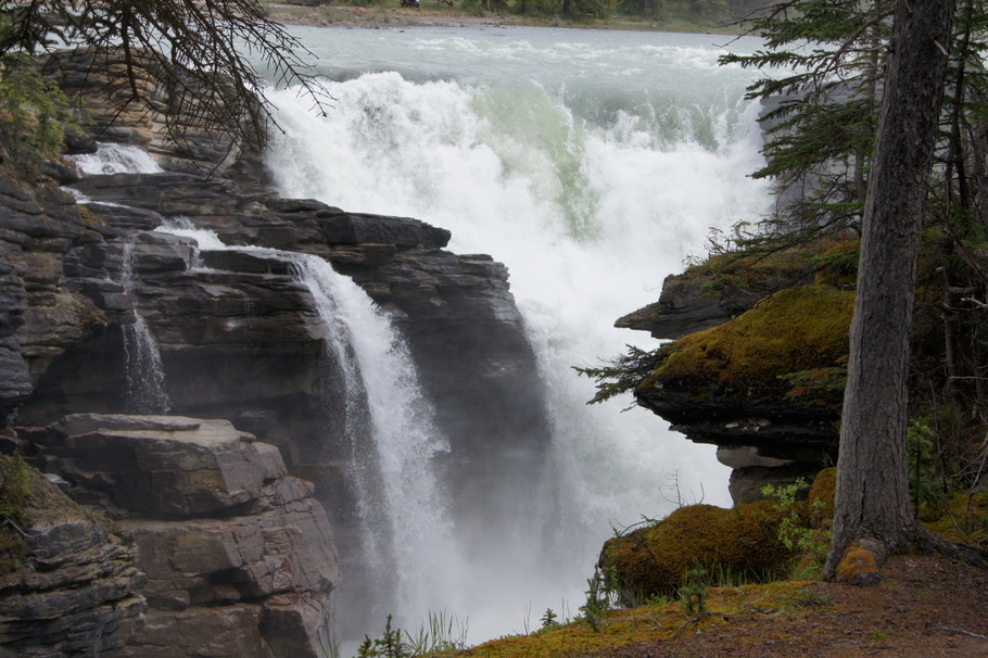
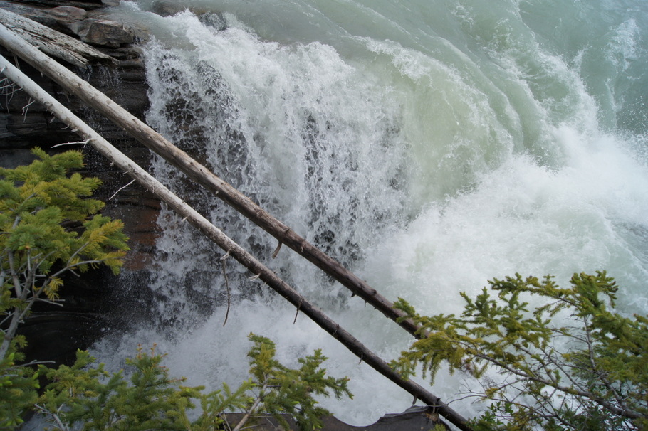
At the end of the road we came to Athabasca Falls. There are easy walking trails for exploring both sides of the falls.
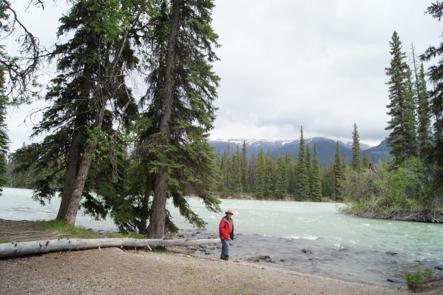
Henry and Blondie enjoyed the fallsWe stopped to look at Athabasca FallsAthabasca FallsAthabasca FallsAthabasca FallsAthabasca Falls
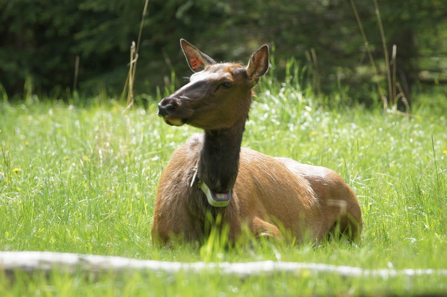
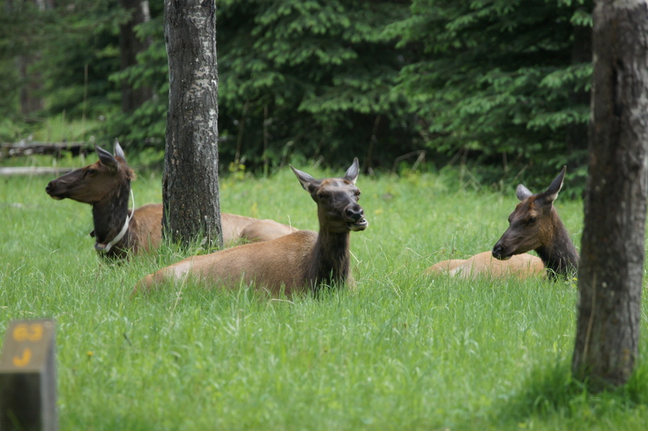
Four elk awaited us at the entrance to our camping loop when we returned. They were resting in the grass around two empty campsites. Such a great way to end the day!
We were greeted by elk in our camping loop as we returned from the drive. The elk were enjoying the grass in two empty campsitesJust chillin’Elk near our campsite in Jasper