August 7 is National Lighthouse Day in the United States. On this day in 1789 Congress passed a law to provide federal funding for all lighthouses.
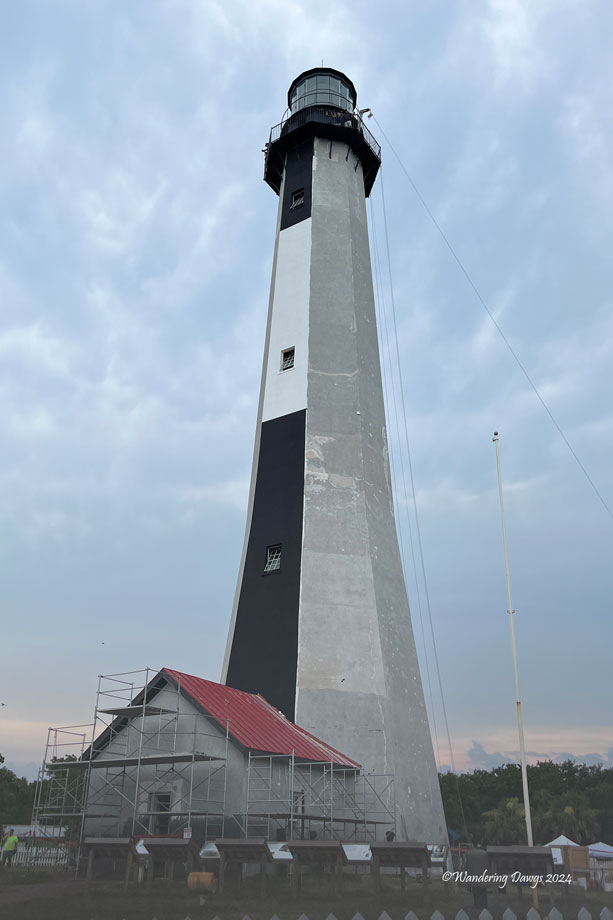
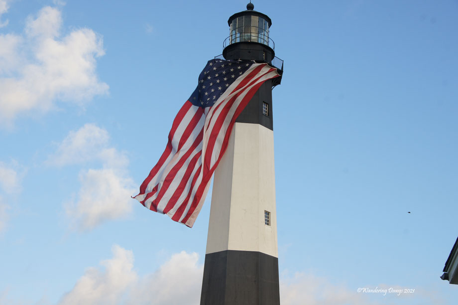
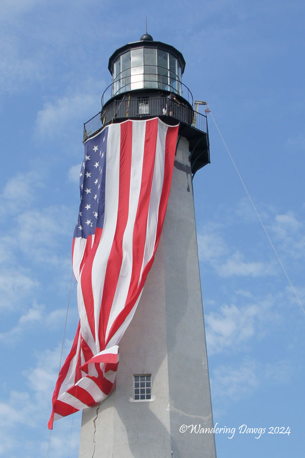
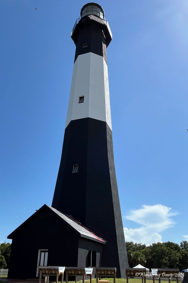
I love lighthouses so to celebrate this event I am featuring the four historic lighthouses that are accessible to the public in the state of Georgia. The Tybee Island Lighthouse underwent major restoration in 2024. The featured image shows the lighthouse flying the American Flag during the restoration.
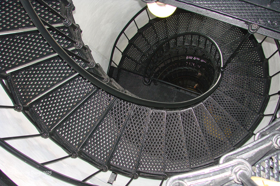
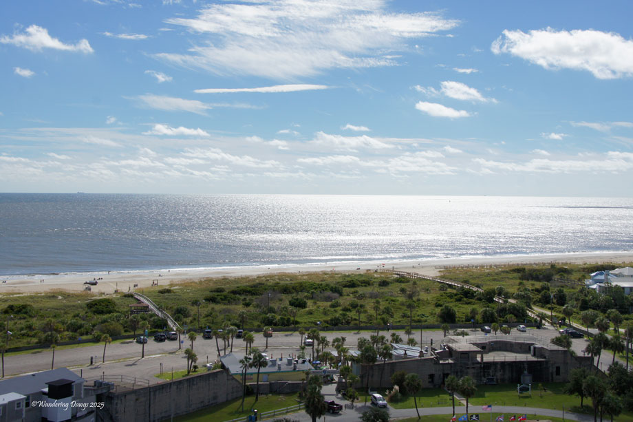
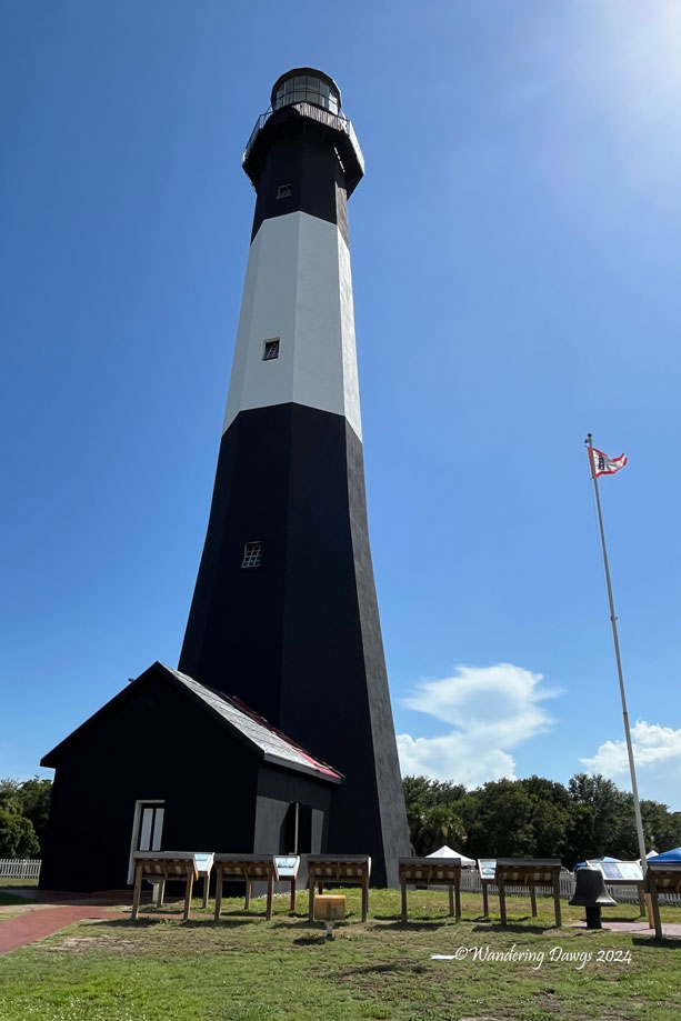
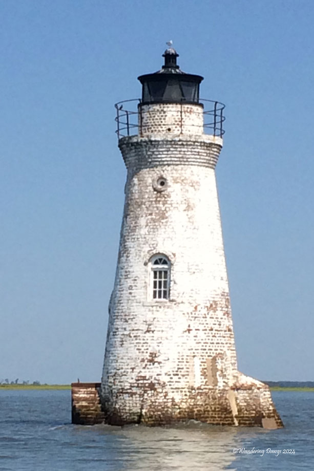
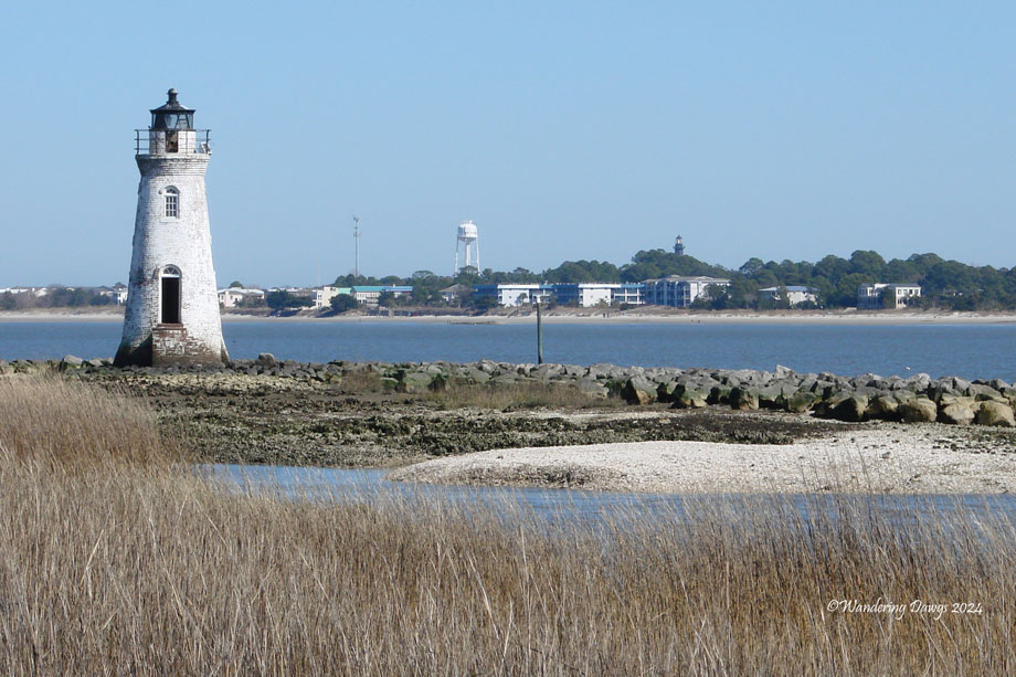
The following gallery shows the Tybee Island Lighthouse after the restoration was complete. On the right is the Cockspur Island Lighthouse. Although the Cockspur Light is not open to the public it can be seen from the Lazaretto Creek Bridge on U. S. Highway 80 on the way to Tybee Island, from a boat, or from the Lighthouse Trail at Ft. Pulaski National Monument.

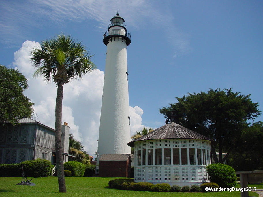
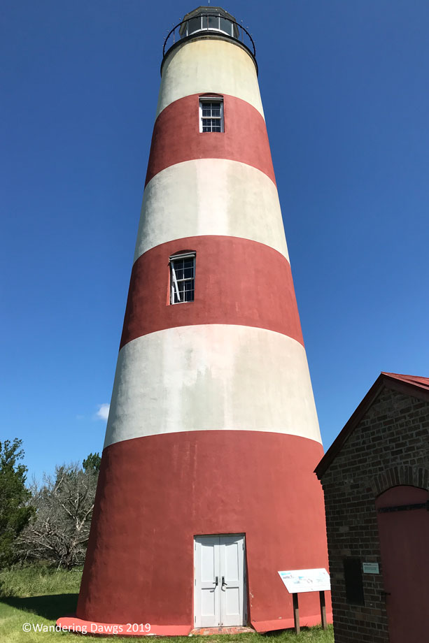
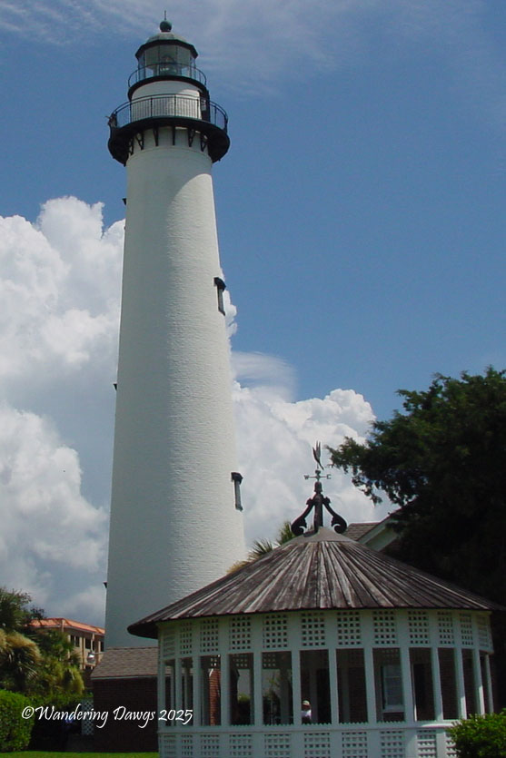
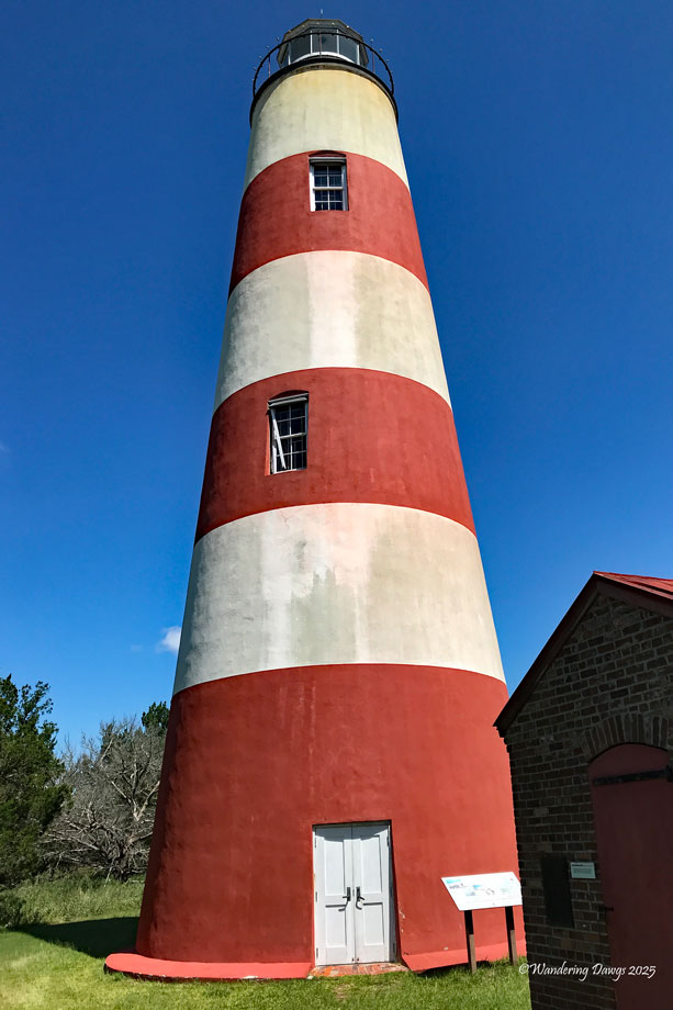
In the next gallery the St. Simons Island Lighthouse is on the left, the Sapelo Island Lighthouse on the right.
Every Day is a Gift