Wyoming High Plains to Rocky Mountains in Colorado to Missouri

Day 102: Sunday, August 25, 2013. Currently in Blue Springs Missouri.

Fort Caspar, Wyoming

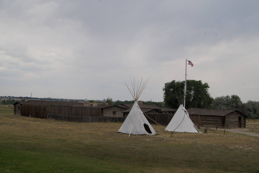
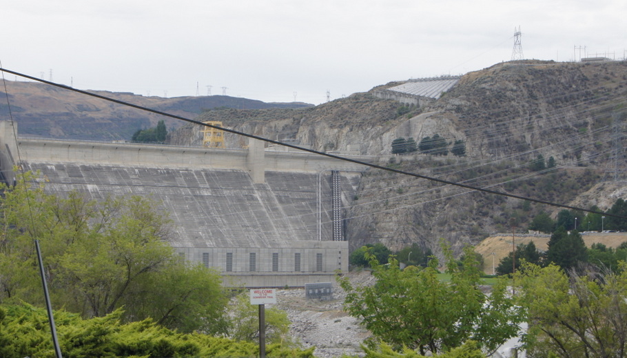
After leaving Sheridan we drove through the high plains where we saw ranches, several herds of pronghorn antelope, and prairie dogs beside the road. We spent a night in Casper, Wyoming at Ft. Caspar RV Park where we visited Fort Caspar on the North Platte River.

Relaxing at our campsite by the Big Thompson River in Loveland, CO

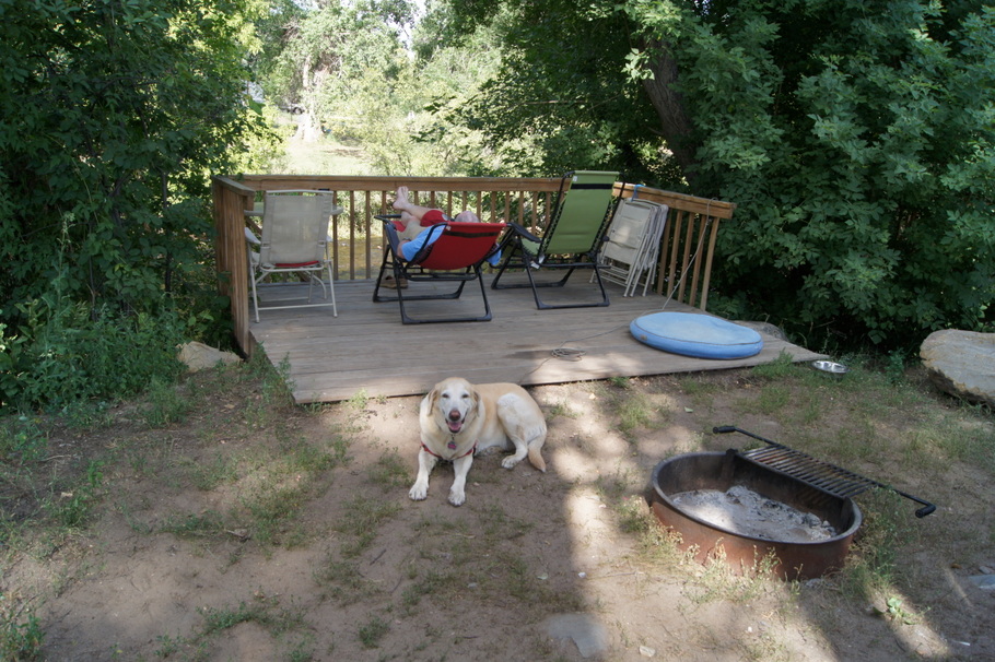
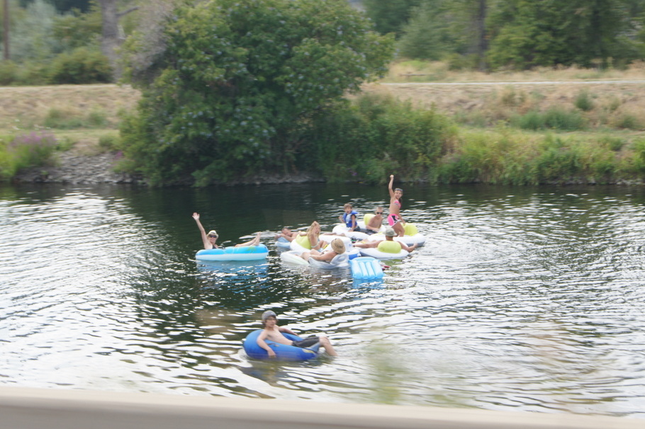
Before heading into the plains of Kansas  we stopped for two nights at Riverview RV Park in Loveland, Colorado where we had a campsite right on the Big Thompson River. Kicking back and listening to the river was pure heaven.

The next day we drove about 30 miles to the entrance of Rocky Mountain National Park to make the drive along Trail Ridge Road. On our visit to the park Memorial Day weekend in 2011 we attempted the drive but had to stop near the beginning of the road because of snow on the road. The drive was beautiful and we saw plenty of wildlife. We went over the highest point of the Trail Ridge Road. At 12,183 feet, it was the highest elevation we have been to on this entire trip.

The drive from Loveland to our next stop at the Wakeeney KOA in Kansas took us through cattle country. We drove by stockyards with more cattle than I have ever seen. The winds were strong all day and Henry was fighting a strong headwind for much of the day. We passed by huge wind farms in Colorado and Kansas.  After driving almost 400 miles we stopped in Wakeeney, Kansas for the night to rest up before another long day of driving through Kansas.

The next morning we continued our trek east through Kansas where we continued to see cattle and fields of corn, wheat, and other grains. Wild sunflowers grew beside the highway. We started hitting city traffic in Topeka and drove through Kansas City, the biggest city in Missouri. Going through the city was a lot like going through downtown Atlanta – not fun. We spent the night in Blue Springs Campground, a nice, quiet county park in Blue Springs, Missouri. Our wildlife sighting of the day was two deer in the park.

Washington to Wyoming

Day 96: Monday, August 19, 2013. Currently in Sheridan, Wyoming

Grand Coulee Dam, Washington

Our homeward journey took us through Washington state where we passed by Grand Coulee Dam. We left the state highways behind when we got on I-90 east of Spokane. We traveled through the panhandle of Idaho into Montana where we had several miles of a long, steep grade before crossing the Continental Divide.

Our first night in Montana was at Campground St. Regis where wood carvings are scattered around the campground. As we continued east on I-90 through Montana we passed by a wildfire close to the west bound lanes. Flames could be seen from the interstate and the the fire crews were hard at work. We spent our second night at Camp Three Forks where I woke up to a beautiful Montana Sunrise.

Two nights in Sheridan, Wyoming for chores and then we will continue to be homeward bound.

Day 91: Back in the lower 48

Day 91: Wednesday, August 14, 2013. Williams Lake, BC to Oroville, Washington, USA. River Oaks RV Park Site 43. 393 miles traveled. One of our longest driving days since leaving home.

Our last night in British Columbia was in Williams Lake where we stayed at Stampede RV Park next to the rodeo grounds.

Willams Lake Stampede Grounds

As we drove south we left the snow peaked mountains behind as we began to see more and more farmland and ranches. In one area we passed by the Painted Hills which reminded me of the Painted Desert. The road was good and even though there were still steep grades and curvy roads as we descended into and out of valleys we were making really good time. At some point along the way we decided we were going to cross the border in Washington.

Painted Hills in southern British Columbia

We were driving on Highway 97 which runs right beside Okanagan Lake for many, many miles. There are several provincial parks along the lake and we could see boaters in the beautiful blue water. We passed several beaches full of swimmers trying to cool off in the 90 degree weather.

And then we entered Kelowna which is nothing but big box stores and chain restaurants for miles with stoplights at every intersection. It was bumper to bumper traffic and we wondered where all these people were coming from on a Wednesday afternoon. There were many big homes and condos high up on the hills overlooking the lake.

The canal next to the road in Penticton was full of rafters
The canal next to the road in Penticton was full of people rafting to beat the 90 degree heat

Finally we were past Kelowna and started to move along at a good pace again. In the town of Penticton a canal runs through town right beside the highway. The canal was full of people in rafts floating down the canal in colorful rafts of every size and description. As I rolled down the window to take some pictures these people waved as me as we went by.

After that we began to see fruit stands selling the famous Okanagan Valley peaches, cherries, and other produce grown in the valley. Orchards and vineyards grew in fields as far as the eye could see. We must have passed about 50 wineries all offering wine tasting.

Finally, about 5:00 we reached the American border in Oroville, Washington and went through customs. Everyone in an RV had to pull over to be inspected so we waited our turn and soon were on our way. I looked at my phone and had cell service so I called an RV park in Oroville and we got a site for 2 nights.

Our first day back in the states was filled with resting, doing laundry, and going to the grocery store. Once the chores were done we went to the Okanogan Winery shop in Oroville where I bought some delicious Chardonnay and Pino Grigio. We went to dinner at Trino’s, a very popular Mexican restaurant in town.

Now we start heading southeast to Georgia.

Traveling South through Yukon, British Columbia, and a side trip to Hyder, Alaska

Today is Day 90 of our great adventure, Tuesday, August 13, 2013. It’s been a week since my last post from Tok, Alaska.

Our journey from Tok to the Yukon border on the Alaska Highway was uneventful. When we stopped at the border crossing in the Yukon we handed the border agent our passports and his first question was “Are you heading home to Georgia?” He had not even opened our passports but he knew we were from Georgia when he saw our Georgia G license plate on the front of the truck! He is a fan of American college football and he and Henry talked football for a minute. Of course he asked the required questions and we were on our way.

Sunrise at Burwash Landing
Sunrise at Burwash Landing, Yukon Territory

As soon as we got past customs the road was terrible. We waited for a pilot car to take us several miles through a construction zone and the rest of the way was full of potholes and frost heaves. It took almost four hours to travel the less than hundred miles from Beaver Creek to Burwash Landing, our stop for the night. Our campsite was right on the lake and Blondie even got to go swimming. I woke up in time to take some sunrise pictures before we continued on down  the road.

We enjoyed watching a Bald Eagle in our campground in Teslin, Yukon Territory before we turned south onto the Cassiar Highway into British Columbia. Although the Cassiar is paved, it is narrow, winding, and full of pot holes and frost heaves. The first part of the road had no lines painted on it and no shoulders. The going was slow but beautiful. Our one wildlife sighting was a red fox on the side of the road.

After a restful night in Dease Lake, BC our next stop was Stewart, BC and Hyder, Alaska. To reach Stewart and Hyder we turned off of the Cassiar Highway onto the Glacier Highway for the forty mile drive down to Stewart and Hyder. It was one of the most beautiful drives we have been on and we saw two bears along the road.

After setting up camp in Stewart, we drove the three miles into Hyder, Alaska. We drove through town where there are a few stores, most of them closed, a hotel, bar and restaurant, an RV park, and some houses. Just on the other side of Hyder we were in the Tongass National Forest where there is a nice bear viewing platform on Fish Creek. The salmon are running through the creek to spawn and bears are frequently seen going after the fish. As soon as we got there we saw a black bear in the creek.

The next morning we went to the creek early to watch for bears at Fish Creek. We missed three grizzlies and a black bear that were there earlier. The most excitement we had was watching a wolf go after fish. After about two hours we decided to take the 17 mile drive on a gravel road to see Salmon Glacier. We reached an overlook where we looked down for a spectacular view of the glacier. After stopping again at the bear viewing platform with no sign of a bear we returned to the campground to get ready for the rest of our trip.

We stopped to look at Bear Glacier after we left Stewart

Early the next morning we were on the road again. We stopped at an overlook on the way out of Stewart for a close look at Bear Glacier.

We turned off of the Cassiar Highway onto the Yellowhead Highway. The road is good and we traveled through several towns before stopping in Houston for the night. We went out to a pizza restaurant for dinner and called it a day.

The going is slow on most of the roads we have been on since we first got to Alberta in June. We have been averaging about 45 miles an hour most days so the going is slow. It’s even slower on some of the mountain roads.

We are on roads now where we will be able to make some time. If all goes as planned we will be in Washington state on Thursday.

Day 83: Last night in Alaska

Day 83: Tuesday, August 6, 2013. Valdez to Tok, ALaska. Tok RV Village Site 705. 255 miles traveled.

Our last night in Alaska was spent back on the Alaska Highway in Tok, 90 miles from the Canadian border. The drive was beautiful and I am not going to bore you with pictures. As soon as we arrived at the campground we spent about an hour washing the truck and fifth wheel to try to remove a month’s worth of dirt and mud.

Our last meal in Alaska was a feast of Red King Crab legs we bought at a fish market in Valdez and cooked on the stove in our kitchen. Eaten under a tree on our picnic table it was absolutely the best meal we have had on this entire trip.

Alaska by the numbers:

Number of nights on the road                 83
Number of nights in Alaska                 50
Total miles driven so far             9,249
Number of different campgrounds so far                 37
Farthest North location traveled  Coldfoot, Alaska
Farthest West location traveled  Anchor Point, Alaska
Number of pictures taken  thousands!!