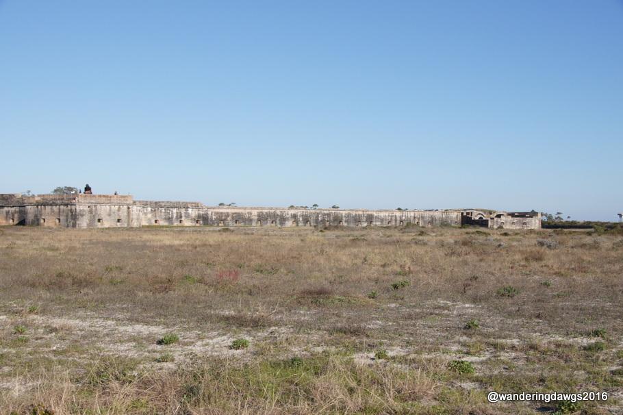
We spent some time exploring Fort Pickens and some of the batteries that are located within the National Seashore.
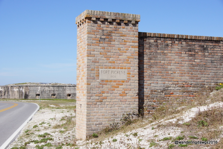
Fort Pickens was the largest of four forts built in the 1800’s by the United States Government to protect Pensacola Bay and the Naval Yard. Although it never had to be used against foreign enemies, it was used by the Union Army during the Civil War to protect against the Confederates. Ranger led tours are available but we chose to go on a self-guided tour of the huge fort.
Fort Pickens
Fort Pickens
Entering Fort Pickens
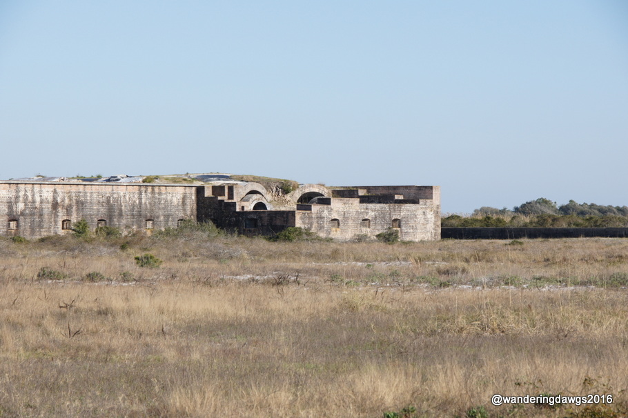
Fort Pickens
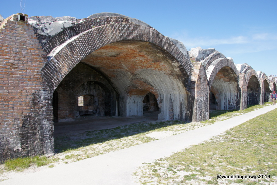
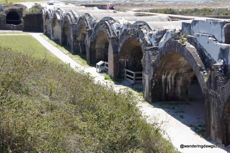
Much of the fort is built using arches.
Arches at Fort Pickens
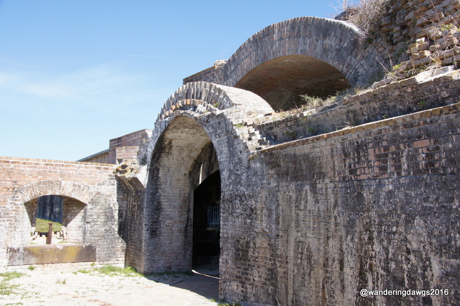
Arches at Fort Pickens
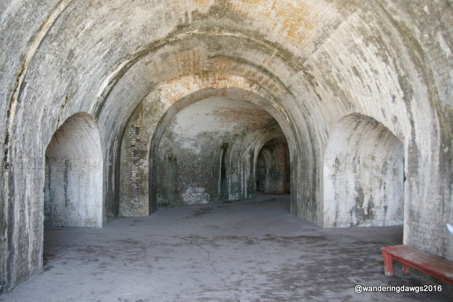
Arches at Fort Pickens
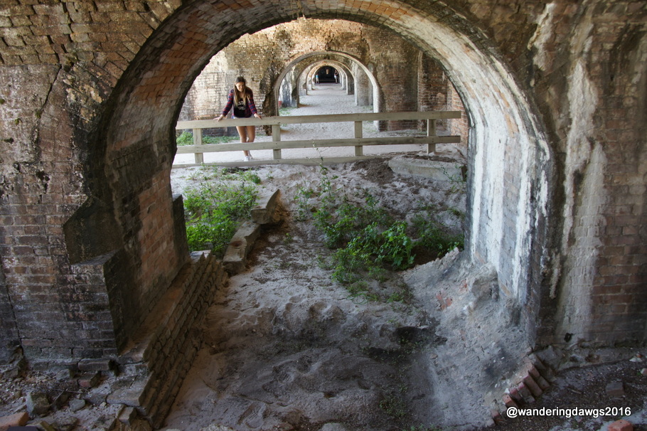
Double Arch
Another view of the arches at Fort Pickens
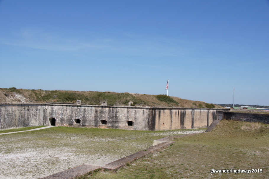
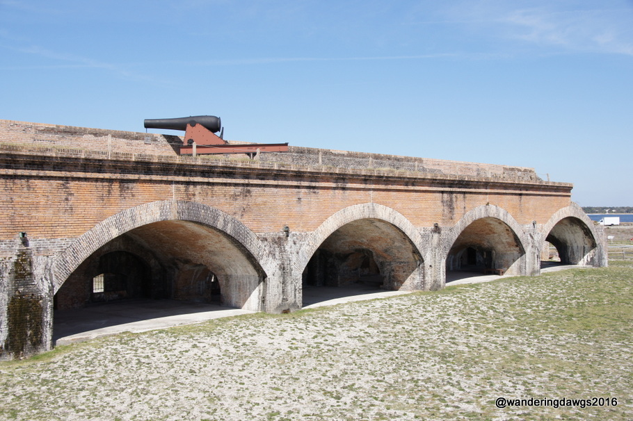
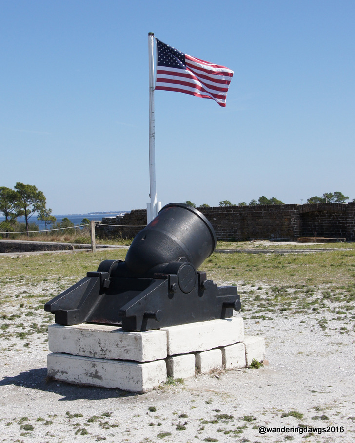
Civil War era cannons and a mortar are also on display at the fort.
One of the cannons atop Fort PickensThe American Flag waves behind a mortar
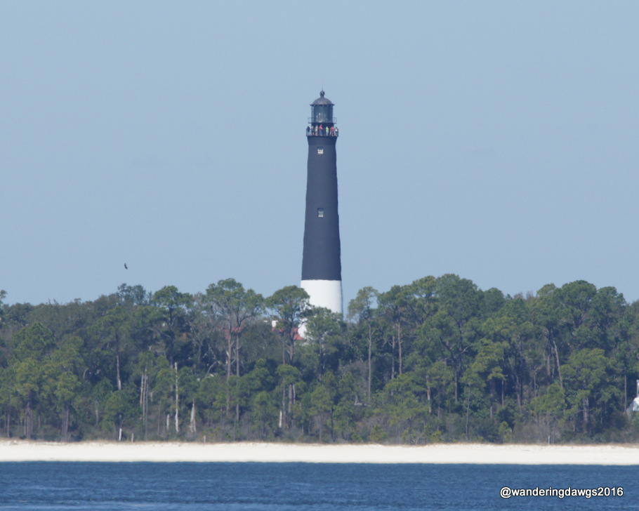
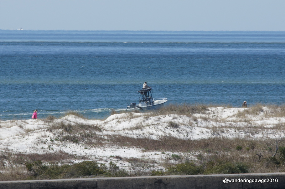
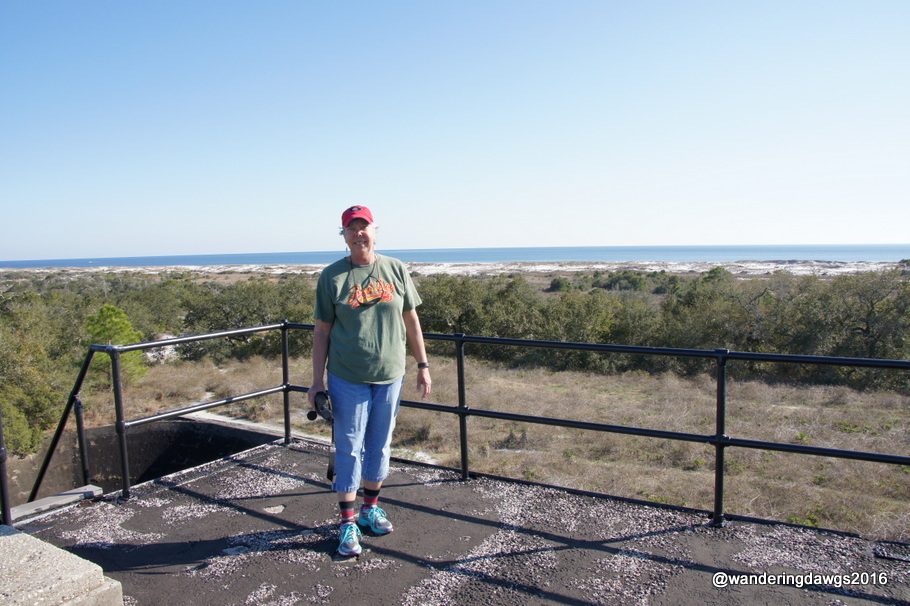
With clear views of Pensacola Bay and the Gulf of Mexico, Fort Pickens was in a great location to protect the area.
A great view of the Pensacola Lighthouse from the top of the fortA great view of the Gulf of Mexico from the top of the fort
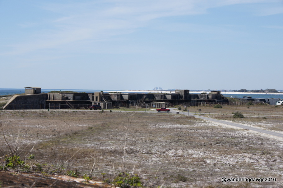
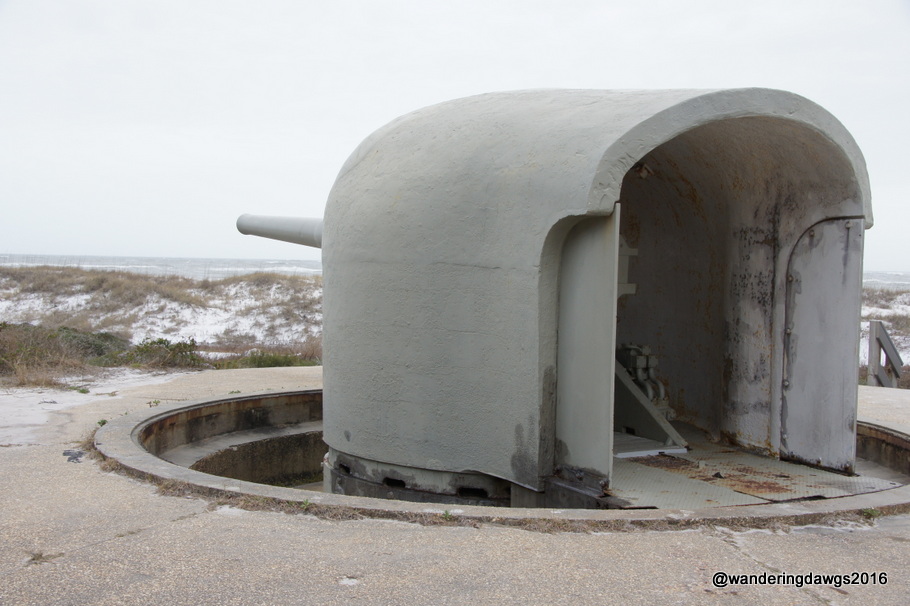
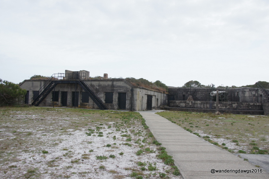
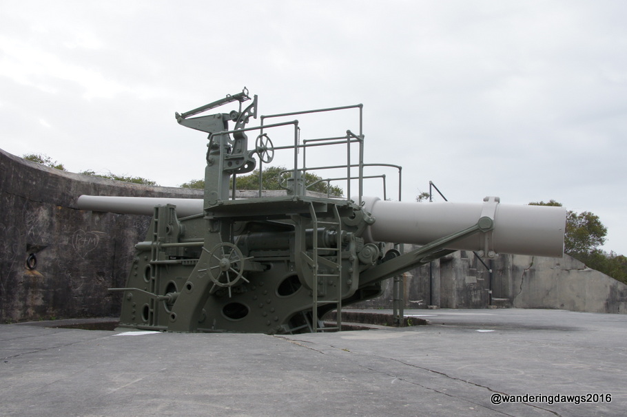
There are several batteries located throughout the area. Some were built in the late 1800’s and early 1900’s.
Endicott Batteries from the 1890’s
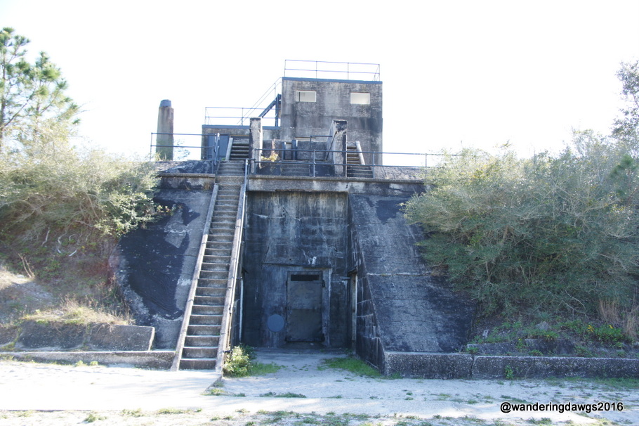
We explored Battery Worth where huge gun pits held twelve inch mortars that could launch 700 pound projectiles 7 to 9 miles away. After World War I all but four of the mortars were scrapped. In 1942 the battery became part of the Army-Navy Harbor Defense Command Post for the Pensacola area during World War II.
Battery Worth
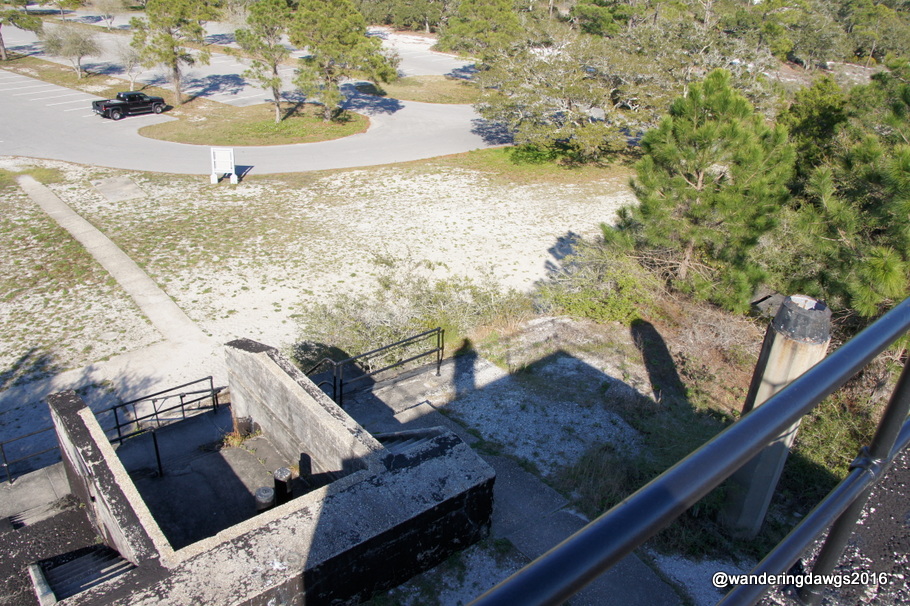
Looking down from Battery Worth
On top of Battery Worth
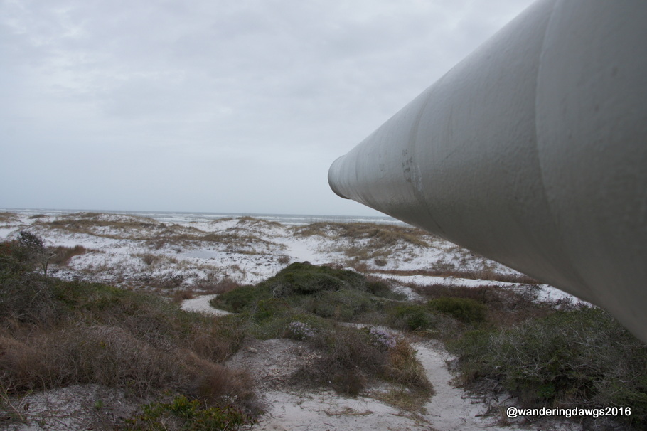
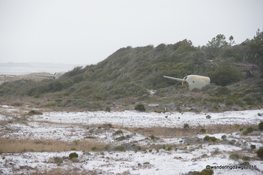
There were big guns lining the shoreline ready to protect against enemy ships.
Big Guns Along the ShorelineAimed over the Gulf of MexicoOne of the BatteriesThis gun would pop up above the wall and come back down after firingTwo of the big guns in the dunes
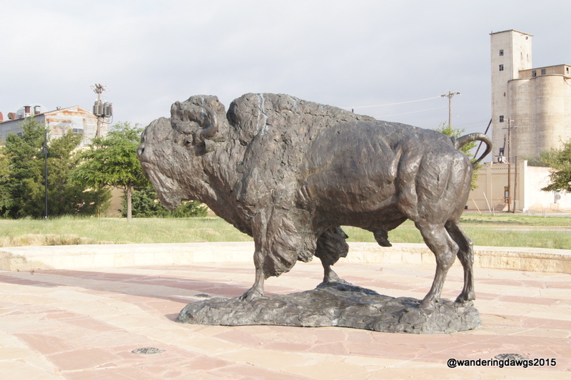
The landscape changed from vibrant green rolling hills and roads lined with bluebonnets to flat, brown plains as we drove north to the small town of Buffalo Gap where we camped at Abilene State Park. Huge buffalo herds once traveled through the area where the town is today. Many of the cattle drives also came through the area.
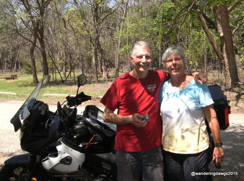
Visiting with my friend Tim was the highlight of the day!
We had a great visit with my high school friend Tim, a 7th generation Texan who has lived in Arlington most of his life. He picked a beautiful, sunny day to drive over to Buffalo Gap to see us.
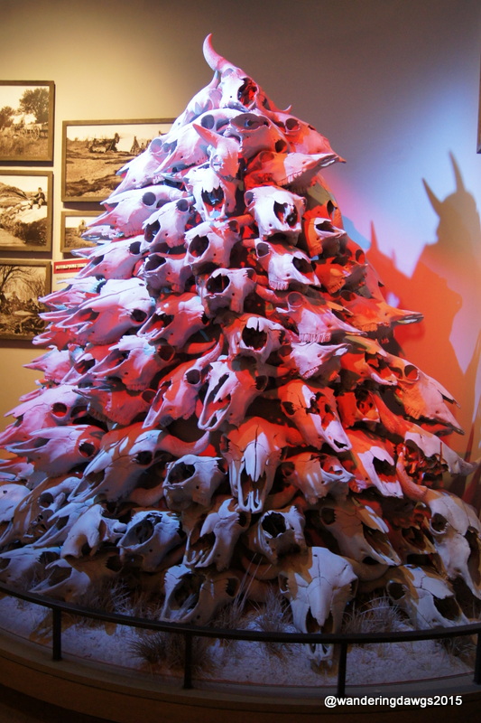
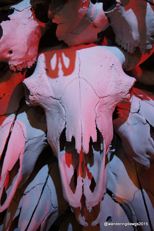
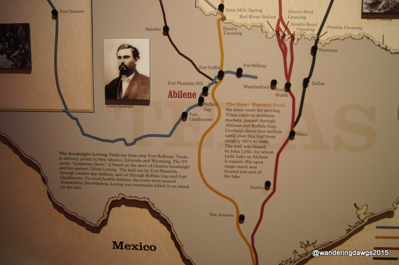
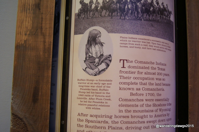
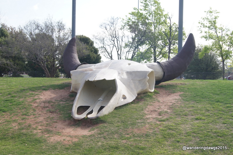
We drove to nearby Abilene to see the western heritage exhibits at the Frontier Texas museum in Abilene. We learned a lot about the history of the area from the prehistoric days to the wild west. Everything was very well done through exhibits and two excellent films.
Outside the Frontier Texas Museum in AbileneBuffalo SkullsCloseup of one of the skullsMap of Texas Cattle TrailsBuffalo Hump was the name of a fictional character in Lonesome DoveBuffalo Weather VanesGiant buffalo skull at Frontier Texas
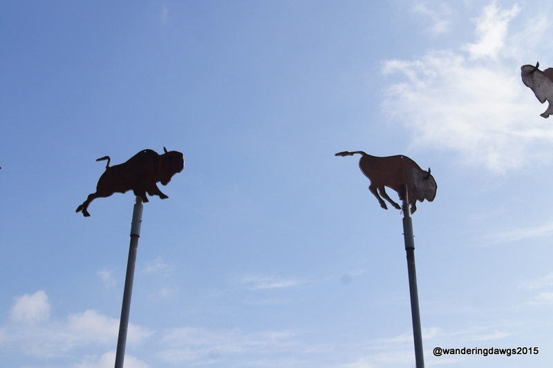
From Buffalo Gap we continued through the Texas panhandle driving through miles and miles of plains to Lubbock. Around Sweetwater we saw huge wind farms on top of the buttes and lots of oil pumps across the plains. As we approached Lubbock there were huge cotton fields on either side of the road.
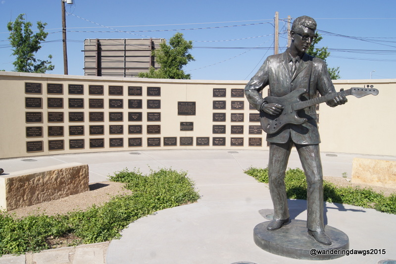
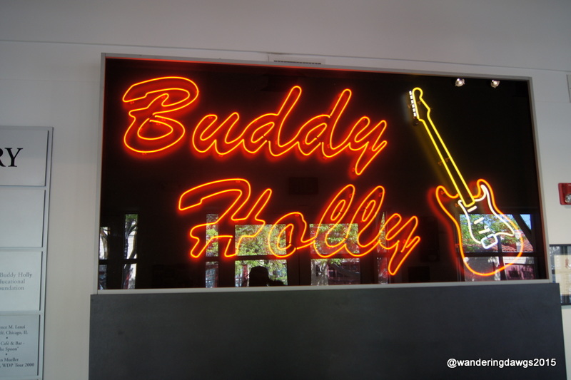
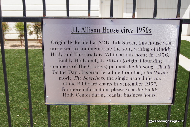
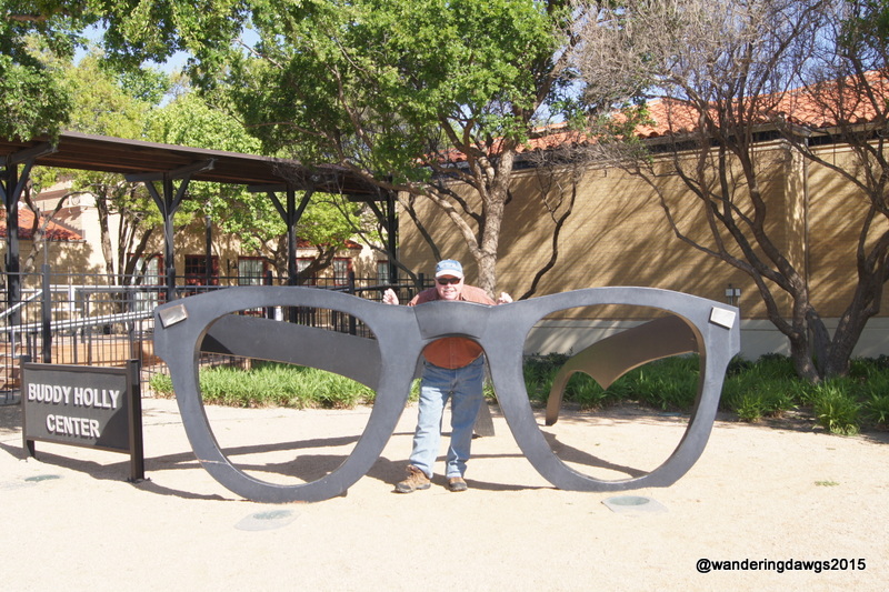
The highlight of our trip to Lubbock was a visit to the Buddy Holly Center. Buddy Holly was born and raised in Lubbock and began his music career there. Two of his biggest hits with Buddy Holly and the Crickets were “That’ll be the Day” and “Oh Boy”.
Buddy’s music was a big inspiration to many of the British bands who became superstars later. The Beatles, the Rolling Stones, and Elton John all credit Buddy Holly as a big influence in their music. The Rolling Stones first hit, “Not Fade Away”, was a Buddy Holly song.
Buddy Holly, Ritchie Valens, and J. P. Richardson (“The Big Bopper”) died tragically in a plane crash on February 2, 1959 while touring across the Midwest. One of the members of Buddy’s touring band for the tour was Waylon Jennings. Waylon was supposed to be on the plane but gave up his seat to J.P. Richardson who had the flu.
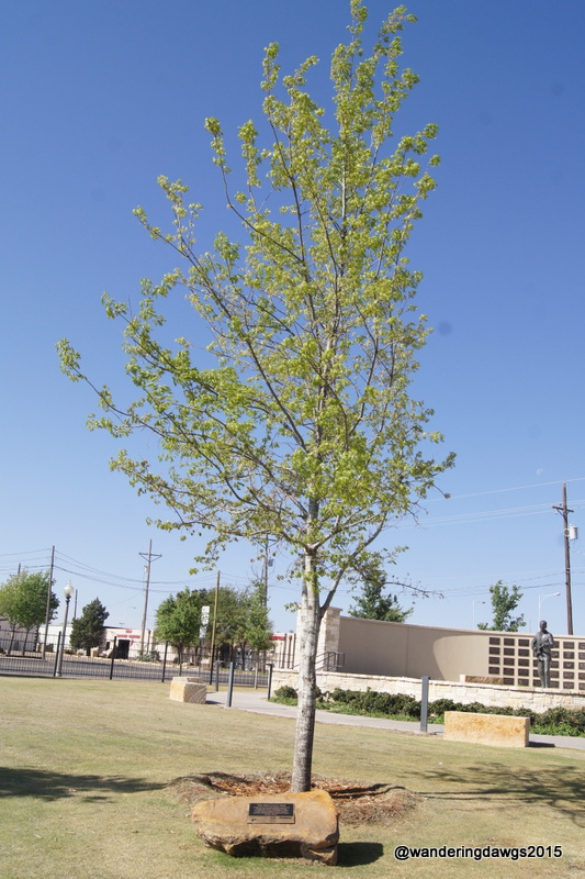
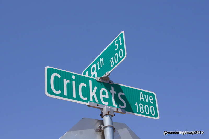
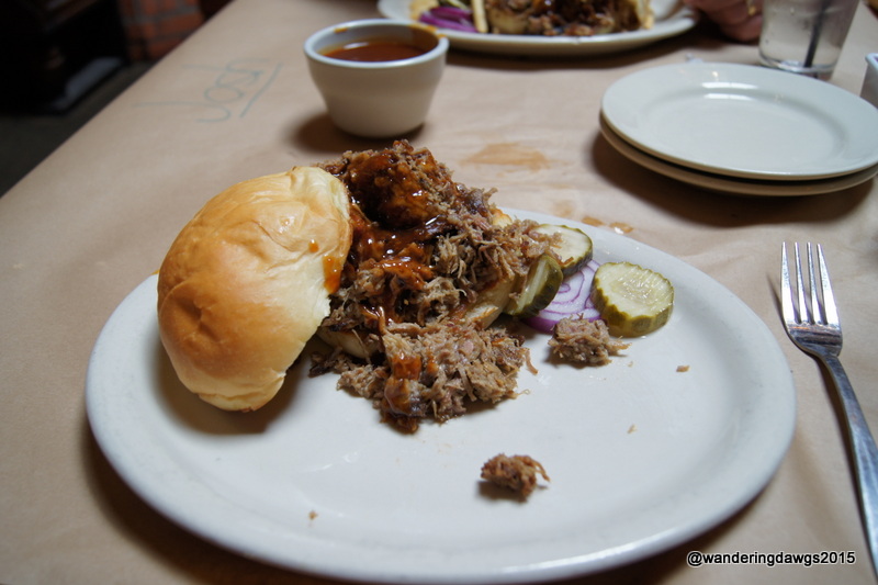
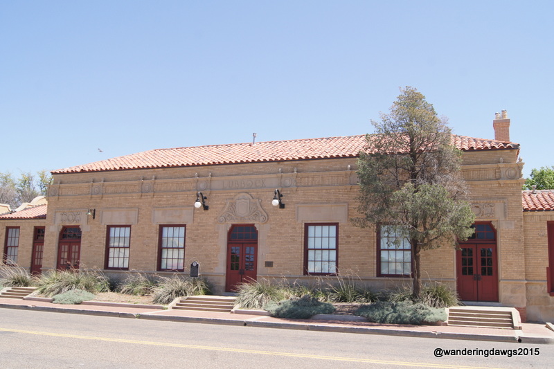
Buddy Holly Statue and West Texas Hall of FameBuddy HollyWe toured the house where “That’ll be the Day” was writtenMcCartney Oak commemorating Sir Paul McCartney’s concert in Lubbock on October 2, 2014 Crickets Avenue in downtown LubbockChopped brisket sandwich at Triple J Chop House, LubbockThe Lubbock Railway Depot now houses art exhibits at the Buddy Holly CenterBuddy Holly Center, Lubbock, Texas
To visit Abilene we stayed at Abilene State Park in Buffalo Gap. Our site was a large back in surrounded by woods with water and electric hookups, a picnic table and fire pit. Go here to read my review of this park.
To visit Lubbock we stayed at the Mesa Verde RV Park in Wolfforth. Our site was a large pull through with full hookups. The park has a swimming pool (not open when we were there), two laundries, free WiFi, two enclosed dog walks, and very nice, helpful owners. Go here to read my review of this park.
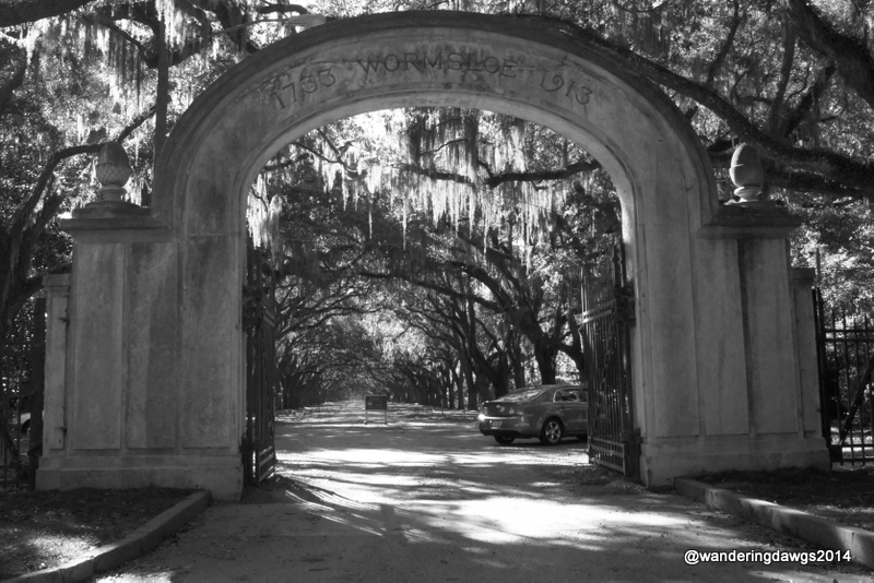
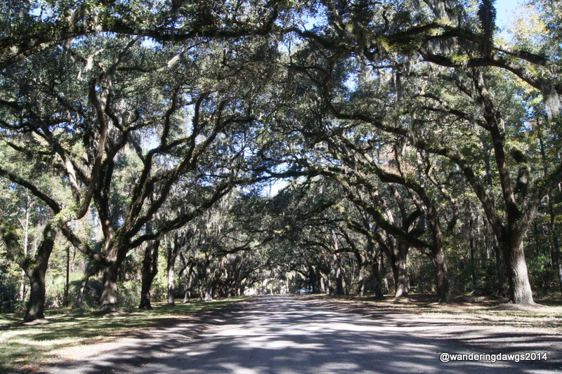
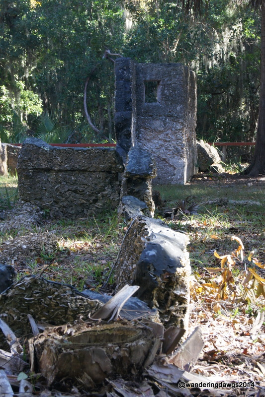
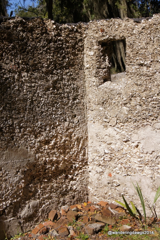
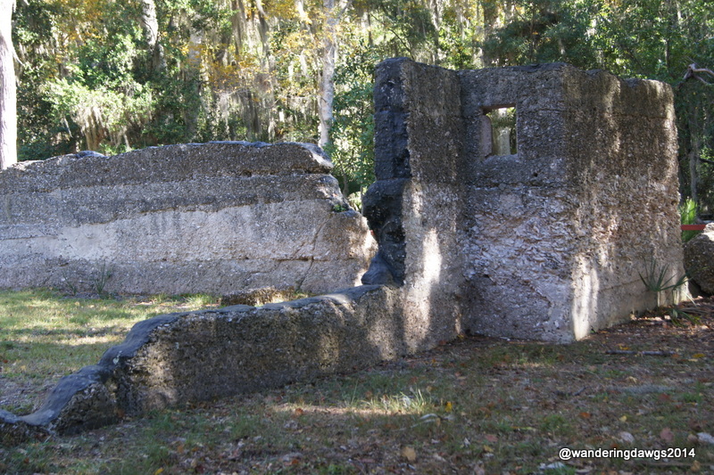
Entrance Gate to WormsloeLive Oak Avenue is lined with more than 400 live oaks planted in the early 1890’sTabby walls made of lime, sand, oyster shells and waterTabby walls at WormsloeTabby Ruins of Wormsloe
This month I will be participating in the WordPress Photography 101 course. I hope to post a picture a day as part of this course.
This is my post for today’s assignment: Architecture.
Fort Pulaski National Monument, a civil war era fort located between Savannah and Tybee Island, Georgia, is a landmark many recognize as they travel to the beach.
Ft. Puaski National Monument is a landmark visible from the highway as you travel east from Savannah to Tybee Island, GA
This month I will be participating in the WordPress Photography 101 course. I hope to post a picture a day as part of this course.
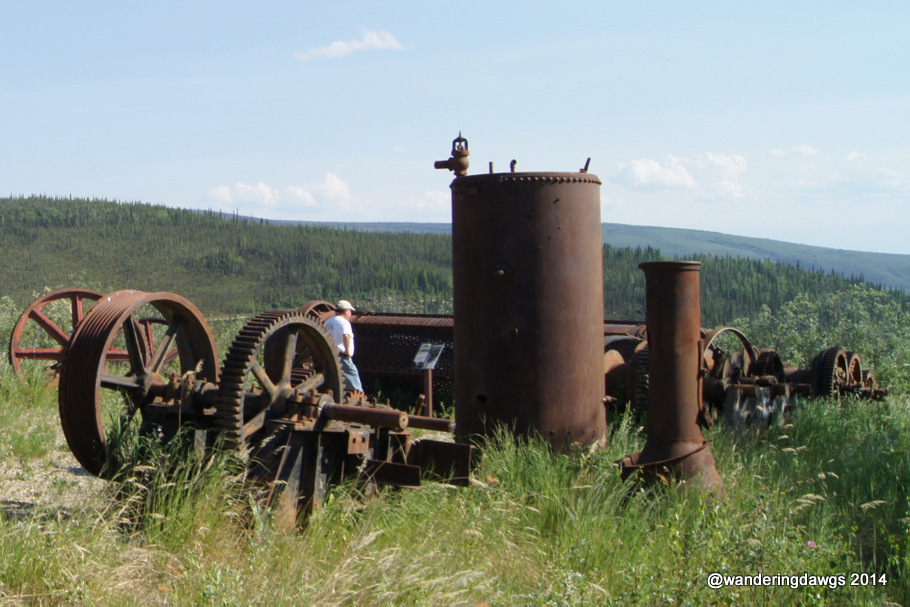
We saw many relics from the Gold Rush of the 1890’s on our 2013 journey through Canada and Alaska.
Dredge # 4 in Dawson City, Yukon TerritoryGold Mining Equipment in Chicken, AlaskaGold Dredge 8 in Fairbanks, AlaskaGold Mining Relics in Fairbanks, Alaska
We’re not wandering at the moment. These are just a few photos representing relics of the 1890’s Gold Rush in Canada and Alaska.