Day 41: June 25, 2013. Dawson City, Yukon to Chicken, Alaska on Top of the World Highway. Chicken Gold Camp Site 5. 108 miles traveled in about 7 hours.
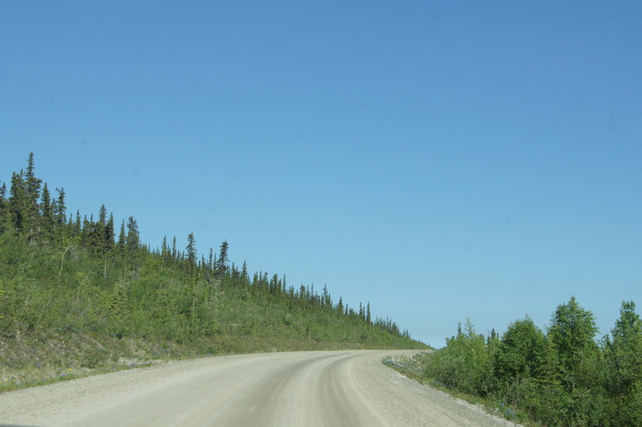
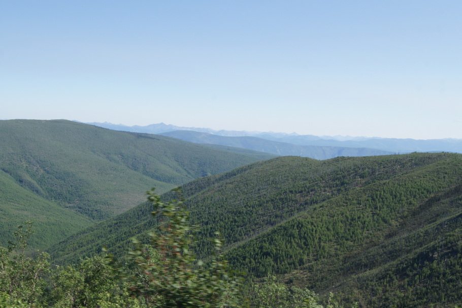
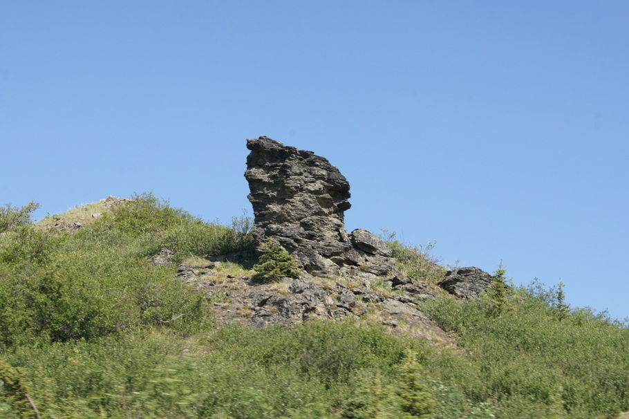
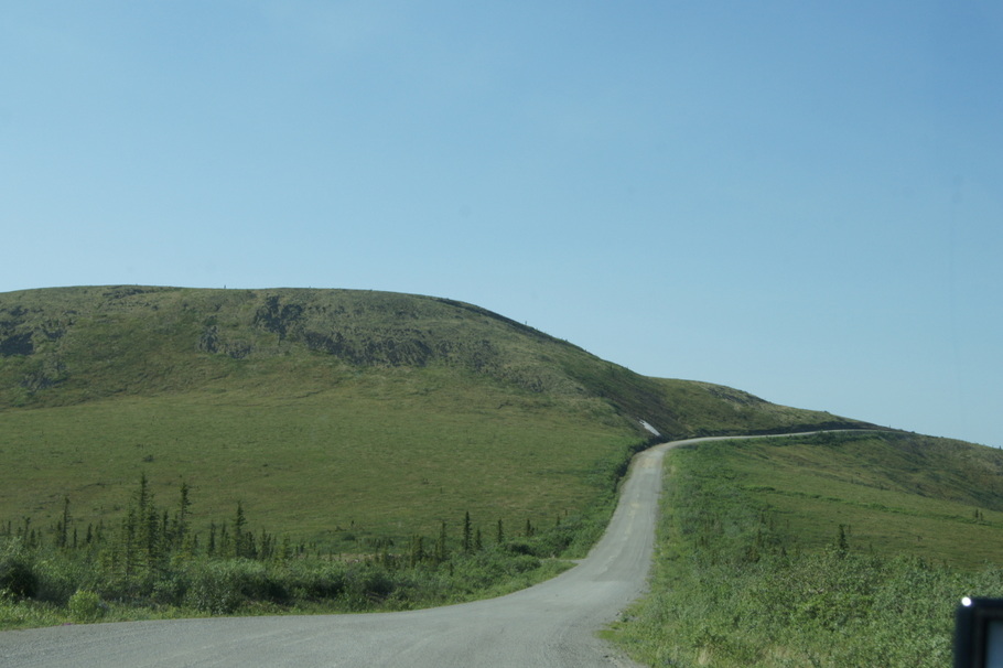
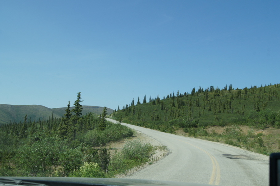
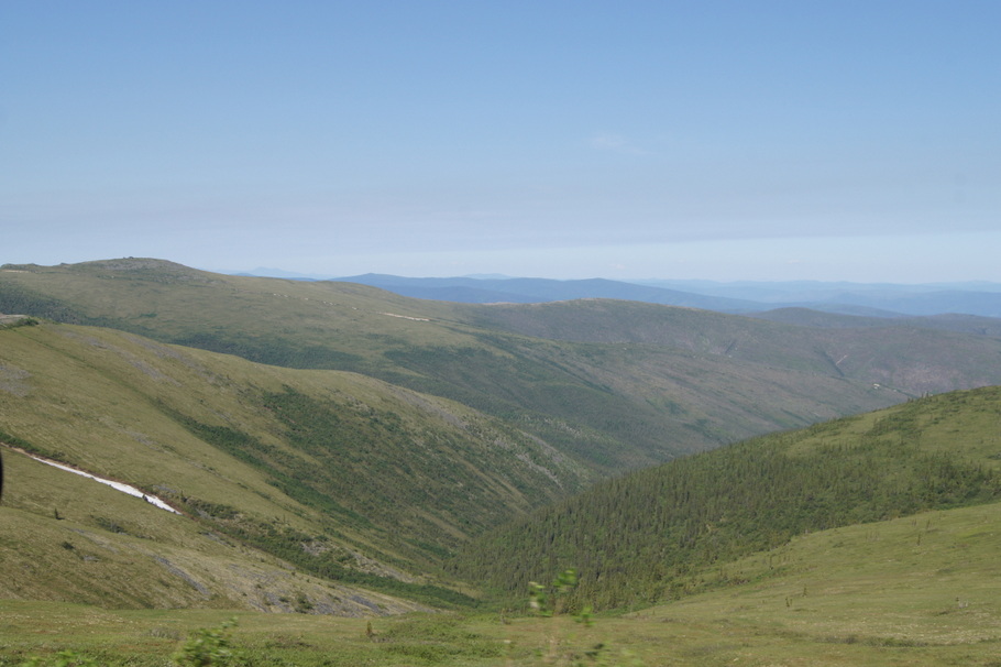
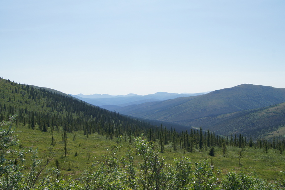
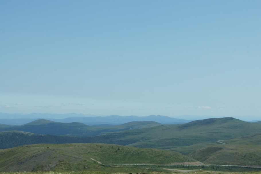
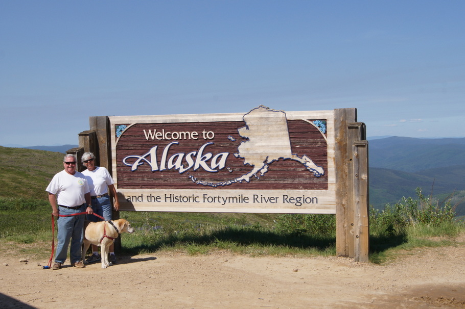
To get to Alaska from Dawson City, the shortest route is to travel across The Top of the World Highway on mostly gravel road with few guard rails and spectacular views.
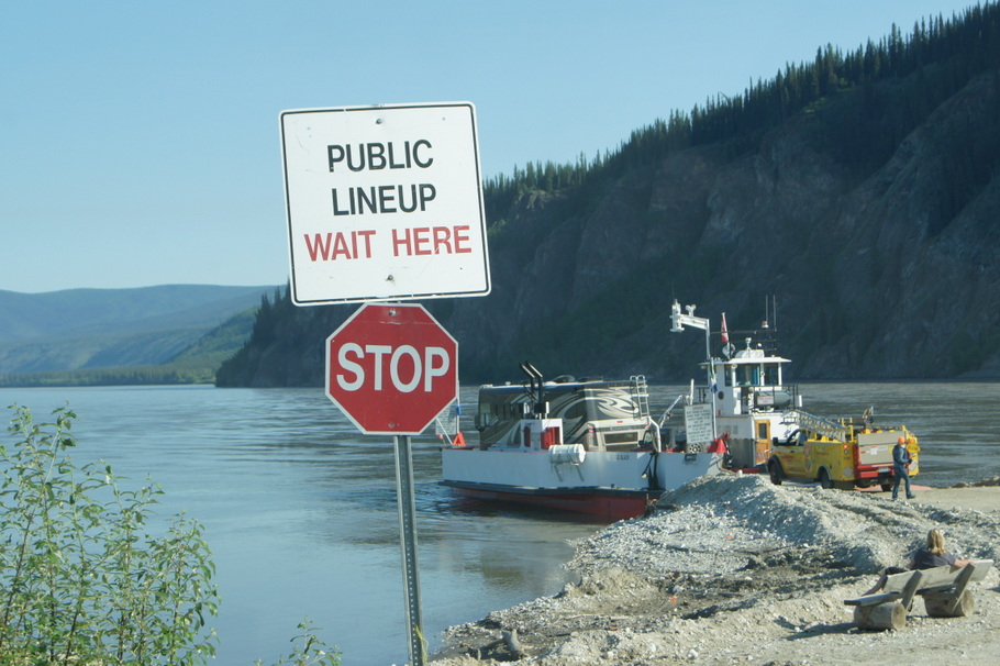
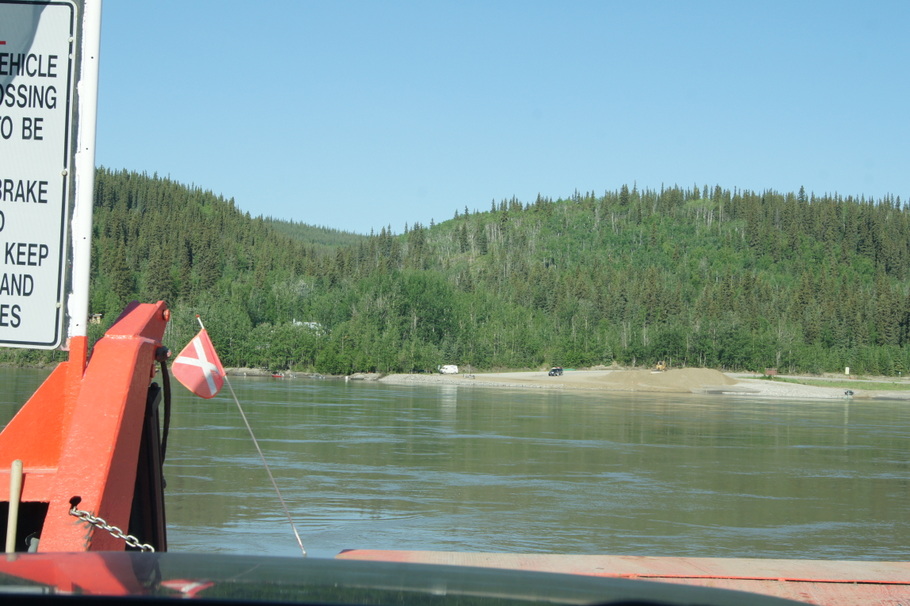
Our journey began as we got in line for the ferry about 8:00. We watched the ferry make several trips across the river before it was our turn to board about 9:00.
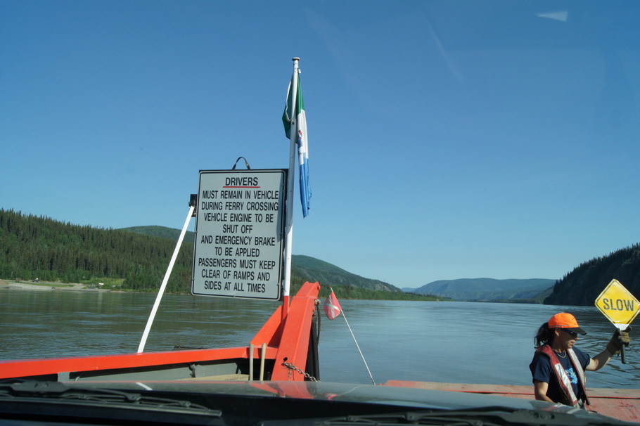
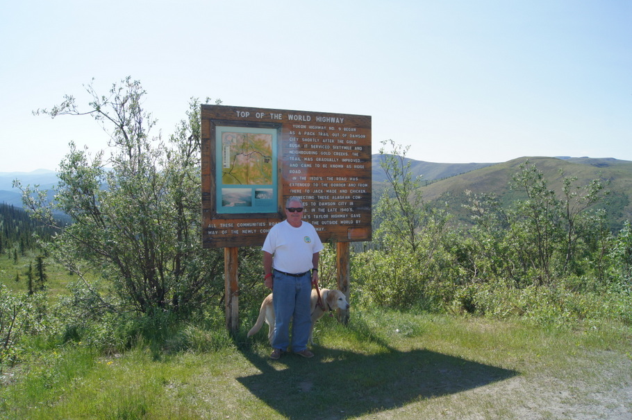
Once we exited the ferry in West Dawson, we were on our way on the Top of the World Highway. It was originally called the Ridge Road because it was built on top of the ridge.
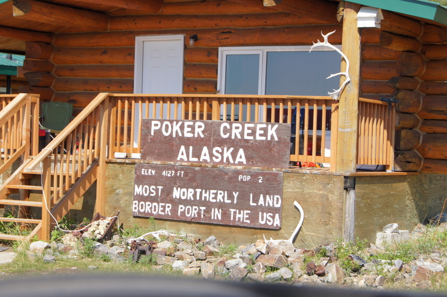
We crossed back into the United States at Poker Creek, the northernmost border crossing by land in North America
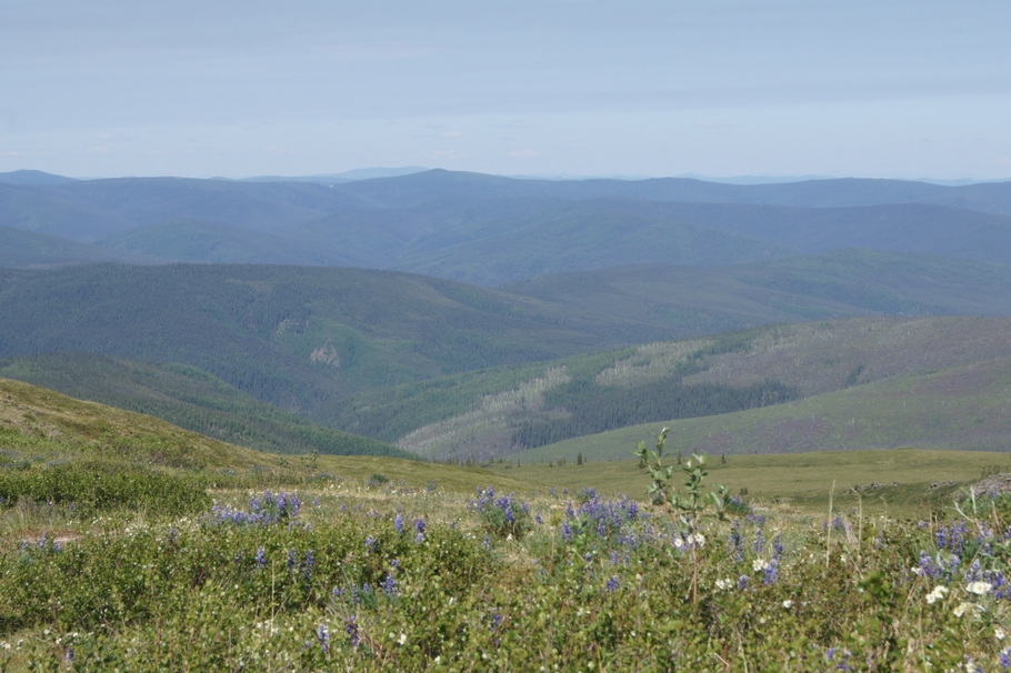
After that, the road was even worse than before! There is construction work on the American side. The road is very narrow in places and has very soft shoulders and no guardrails. After about 8 miles we turned onto the Taylor Highway which was the scariest part of the trip. Soft shoulders, narrow, and straight drop offs. The view of the valley below was supposed to be beautiful but I had to keep looking straight ahead!
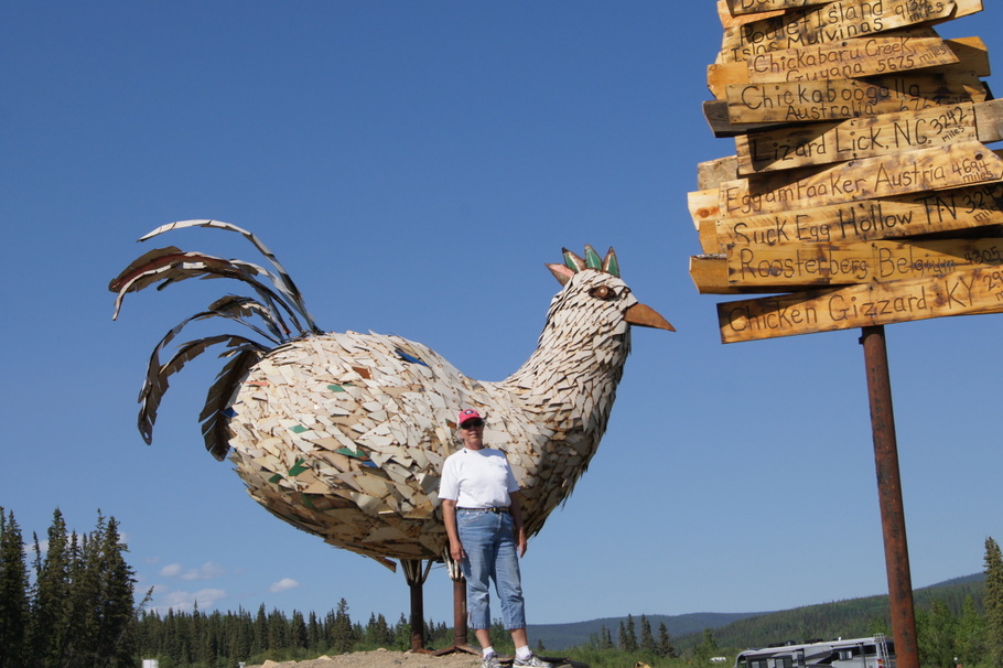
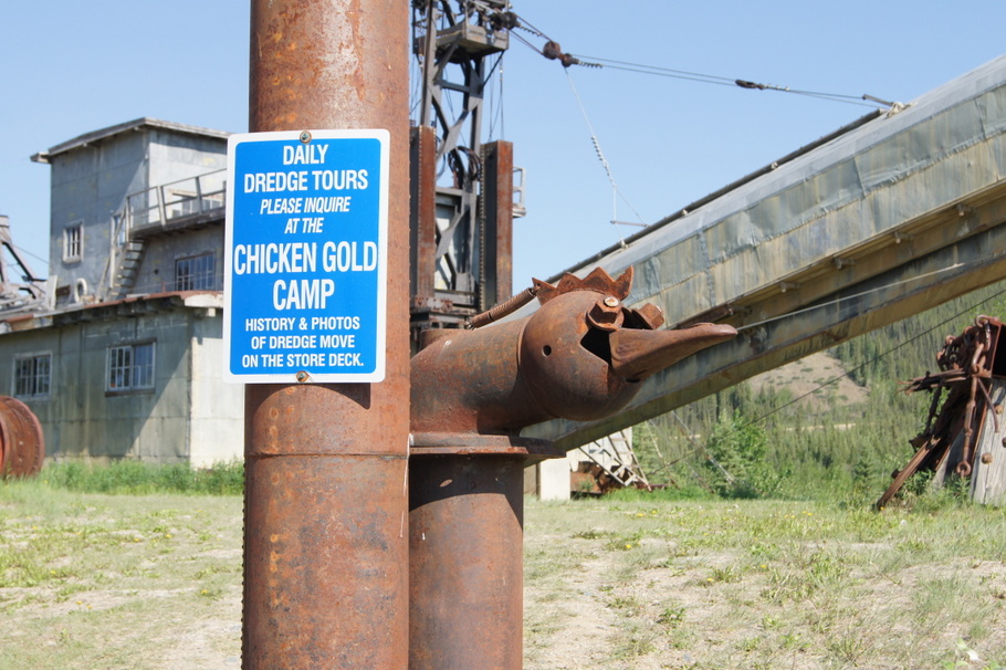
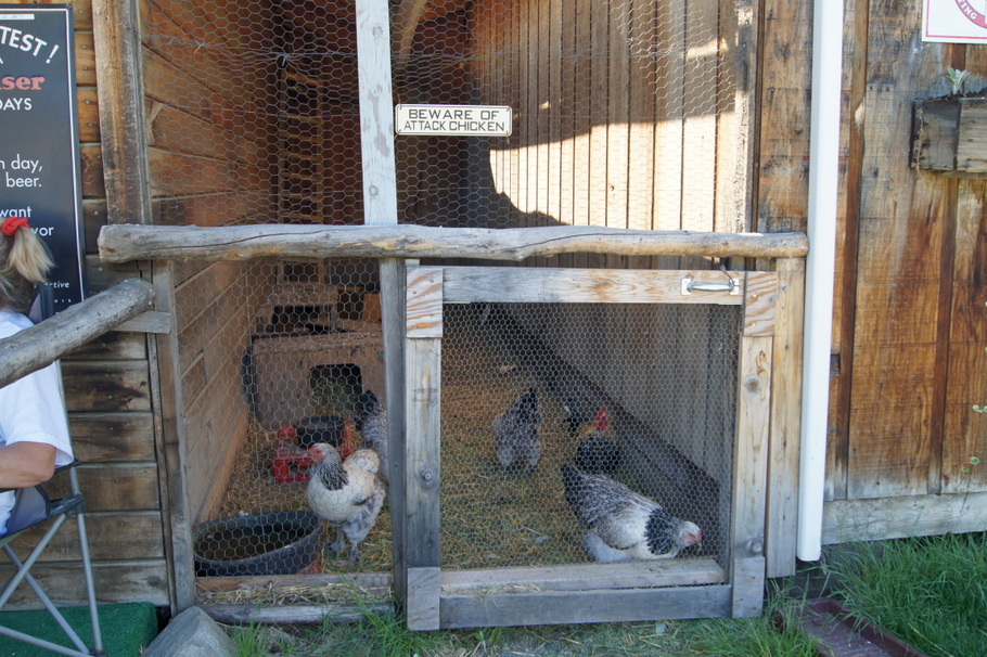
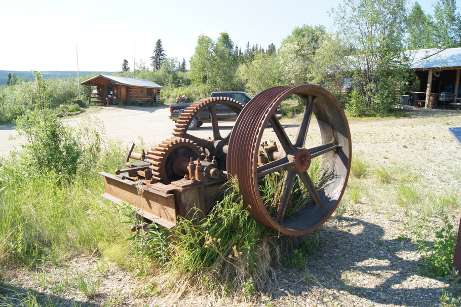
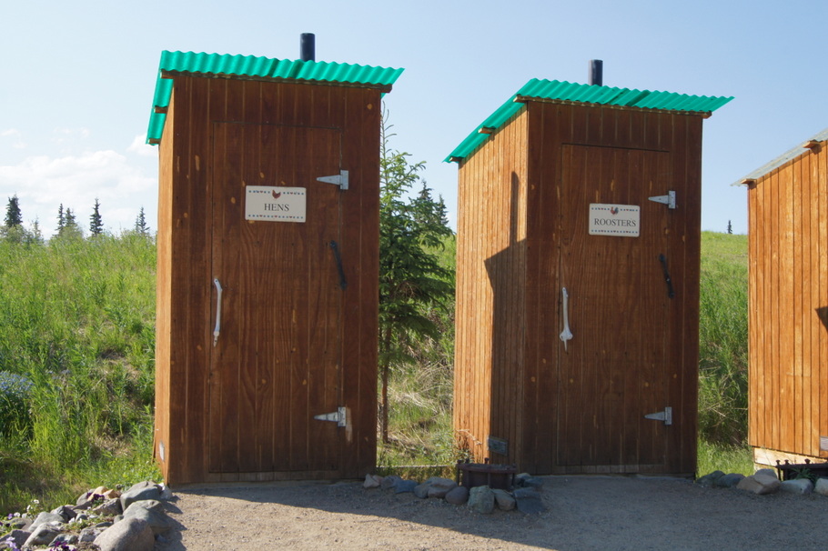
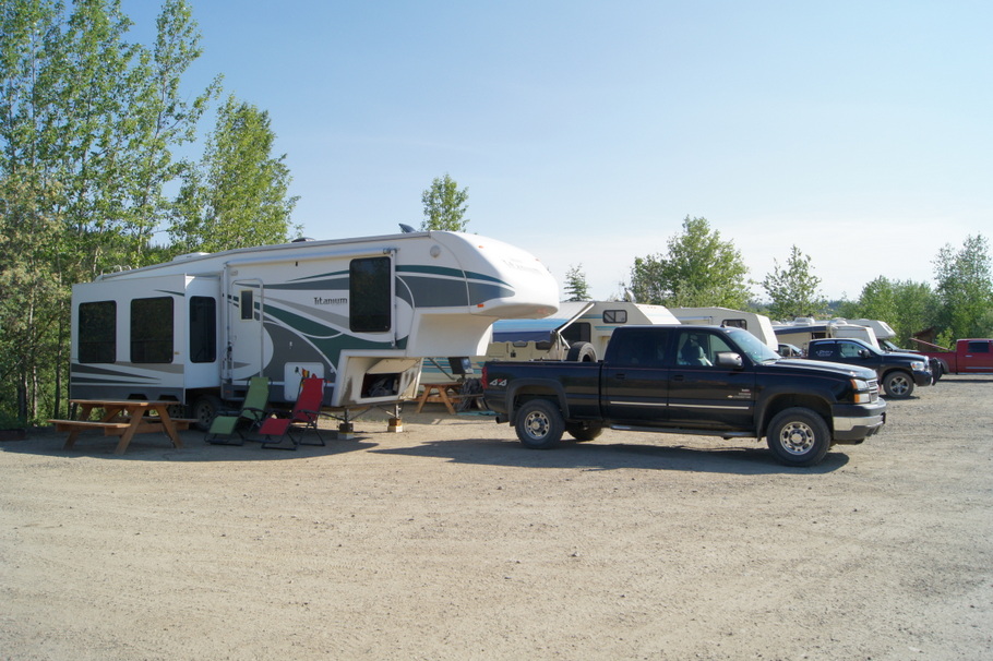
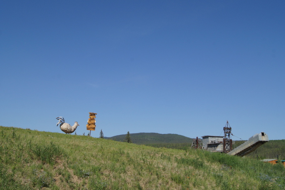
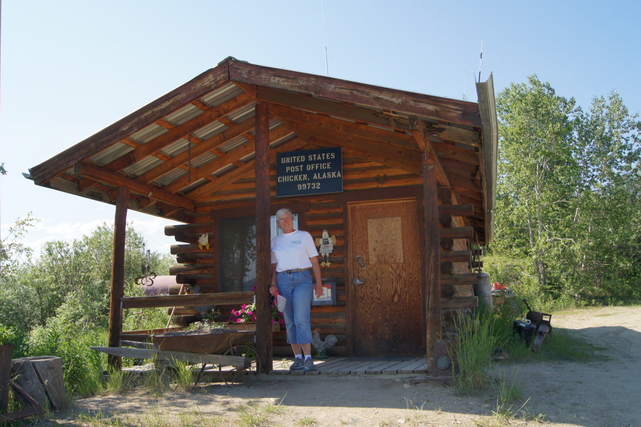
We arrived in Chicken, Alaska and got the last electric site there. There are only three places in Chicken – Downtown Chicken, The Town of Chicken, and Chicken Gold Camp where we stayed. You can walk from one place to another. Each one has a campground, store, and restaurant. There’s a post office down the road a short distance. The mail plane only comes twice a week.