I’ve had many people ask about my favorite place and the answer is always the same.
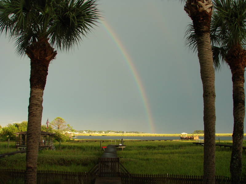
There is no place else on earth I love more than my little peace of paradise here in coastal Georgia. This is where our children grew up and where Henry and I are growing old together. I have the best friends and neighbors anyone could ask for and there is beauty every where I look.
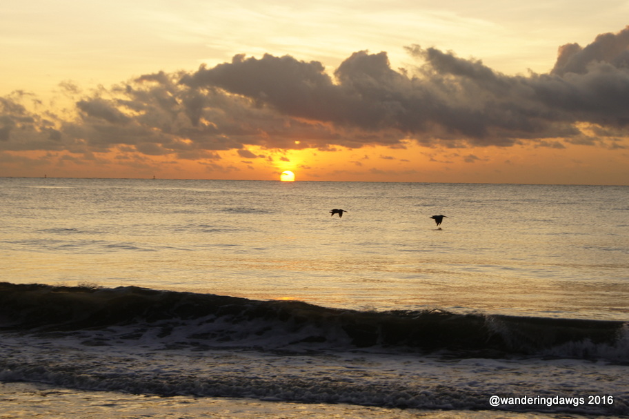
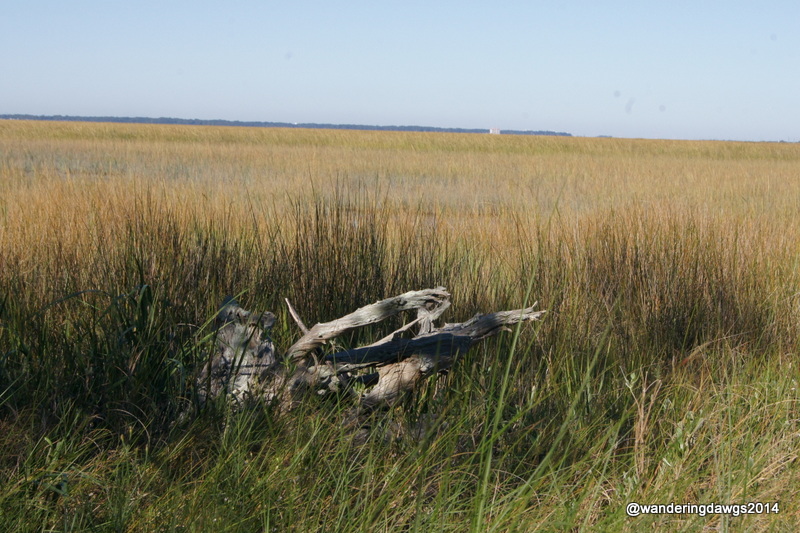
Sunrise over the Atlantic OceanFull moon rising over the Atlantic OceanSunset over the Salt MarshSalt Marsh of Coastal Georgia
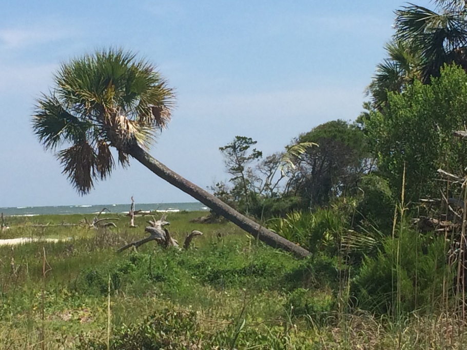
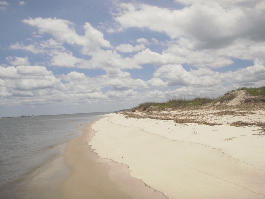
Want to go to an uninhabited barrier island? A boat or kayak will get you there.
Boat ride on one of the many creeksUninhabited Georgia Barrier IslandWe often are the only people on one of the uninhabited barrier islands
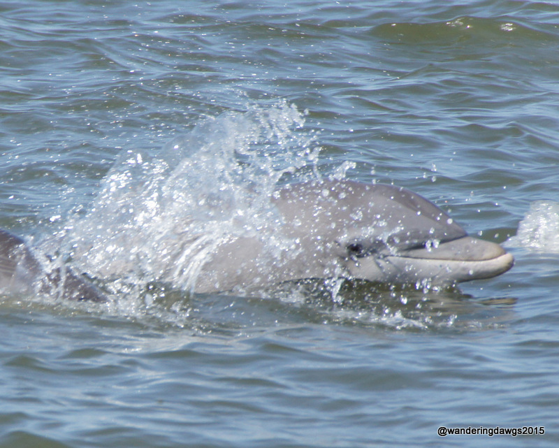
Atlantic Bottlenose Dolphins are a common sight in the waters.
Atlantic Bottlenose Dolphin near Tybee Island, Georgia
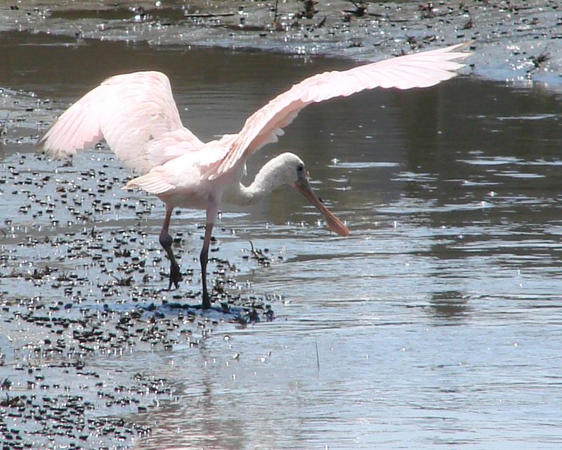
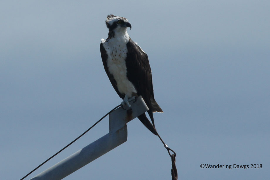
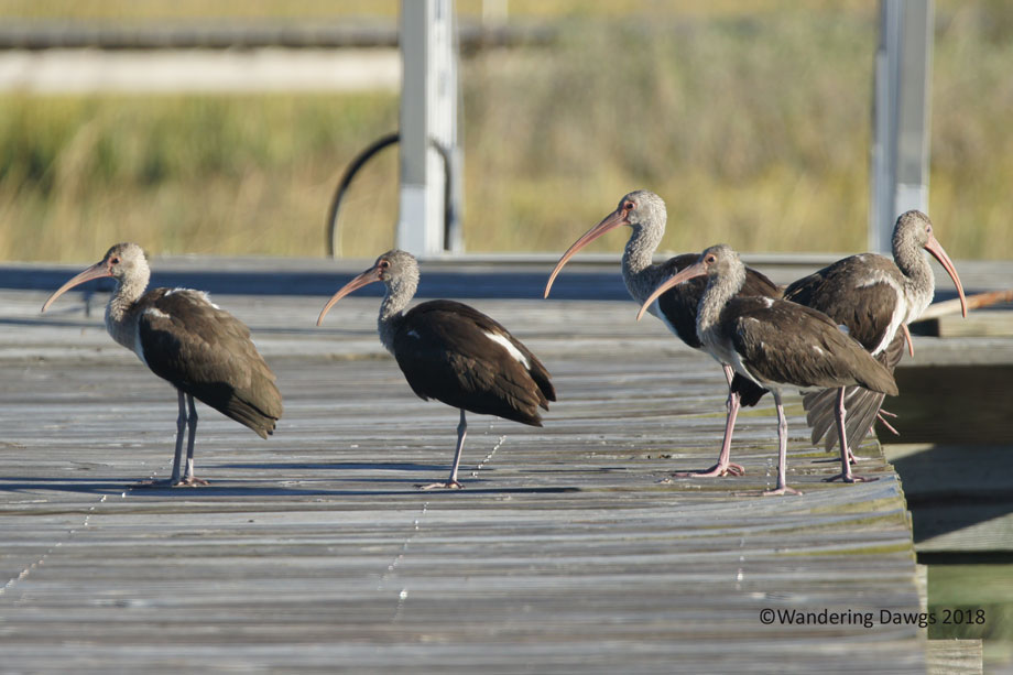
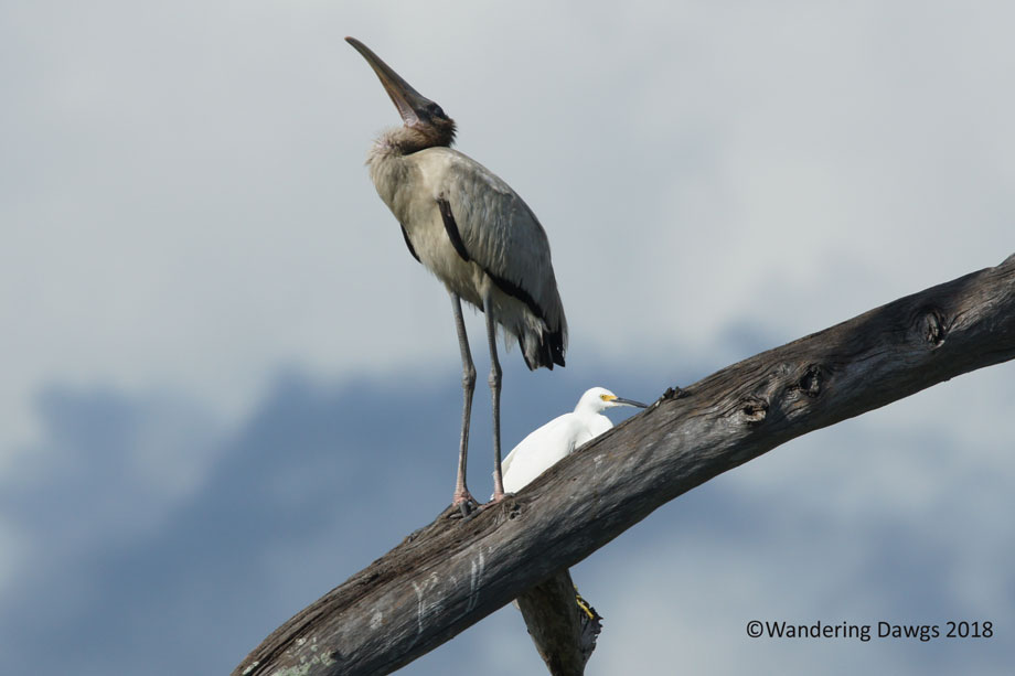
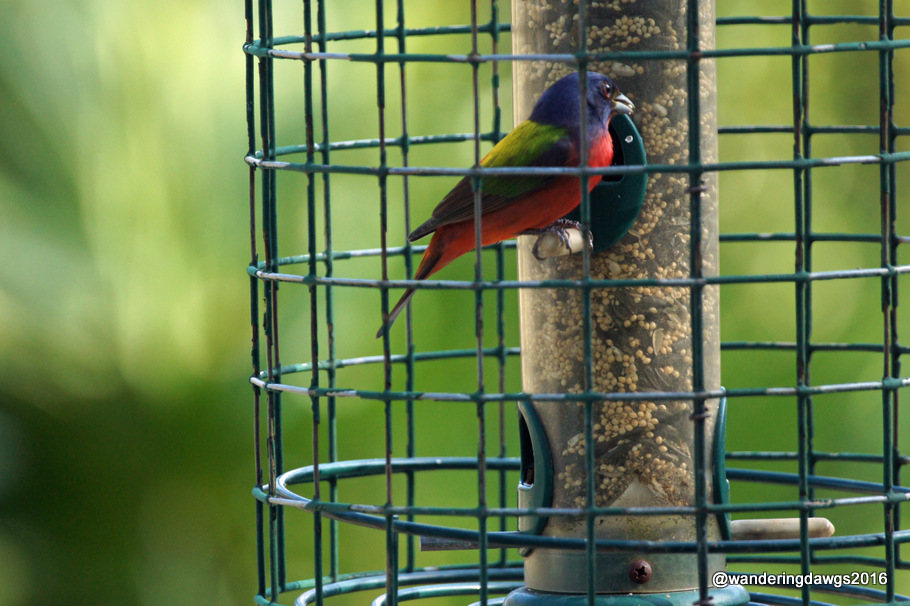
Let’s not forget the birds.
Roseate Spoonbill fishing in Georgia tidal creekOspreyGreat EgretJuvenile IbisWood Stork and EgretMale Painted Bunting
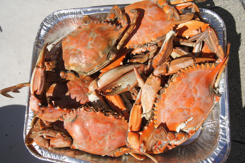
Whether you cook it at home or eat out at one of the many great restaurants nearby, there’s nothing better than eating fresh caught seafood.
Fresh Georgia Blue Crabs straight from the creek to the pot.
I love to travel and always enjoy our wanderings. Every trip ends the same way. I know I am almost home when I start smelling the salt marsh and seeing the creeks and marsh as we drive the last few miles.
No matter where you may roam, the best part is coming home – anonymous
It’s been two years since our last visit to Stephen Foster Folk Culture Center State Park in White Springs. During that stay we did a lot of exploring around the park, the town of White Springs, and nearby Big Shoals State Park. I posted about those adventures at Way Down upon the Suwannee River.
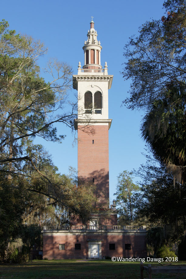
We returned to the park this February. The carillon tower is a focal point in the park and one of my favorite things about being there is hearing the the bells from the carillon chime on the quarter hour and hearing Stephen Foster’s music throughout the day. Unfortunately, the carillon wasn’t working this year.
The carillon at Stephen Foster Folk Culture Center
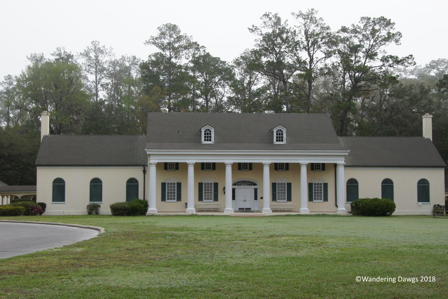
We didn’t visit the museum on this trip but there are interesting exhibits about Stephen Foster and his many songs.
Stephen Foster Museum
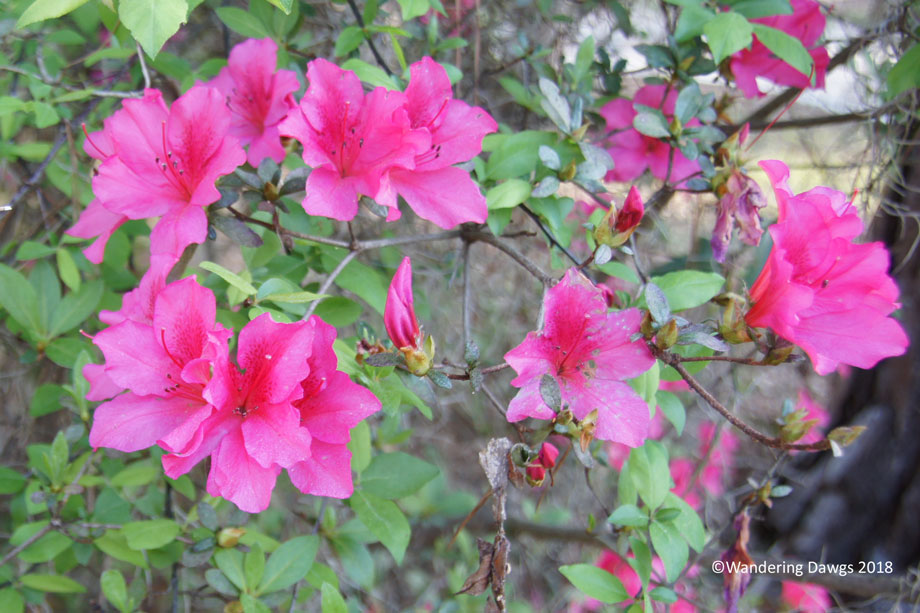
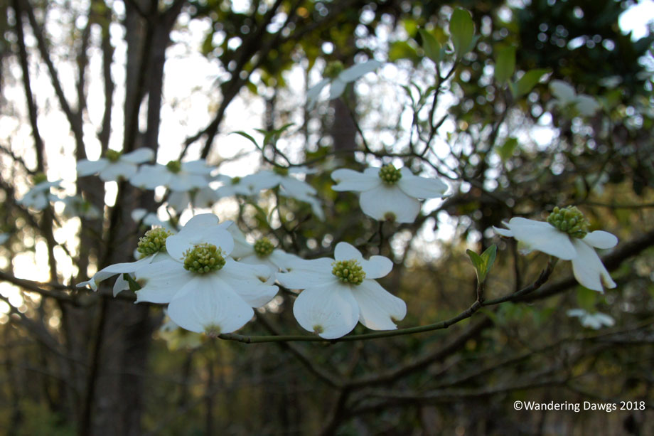
Even though it was only February there were some beautiful spring blooms. Gotta love Florida!
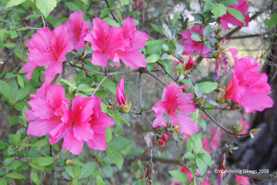
Dogwoods blooming at Stephen Foster Folk Culture CenterSpring came earlyFebruary Azaleas blooming in White SpringsA splash of color blooming in February
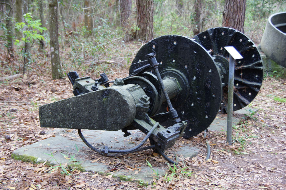
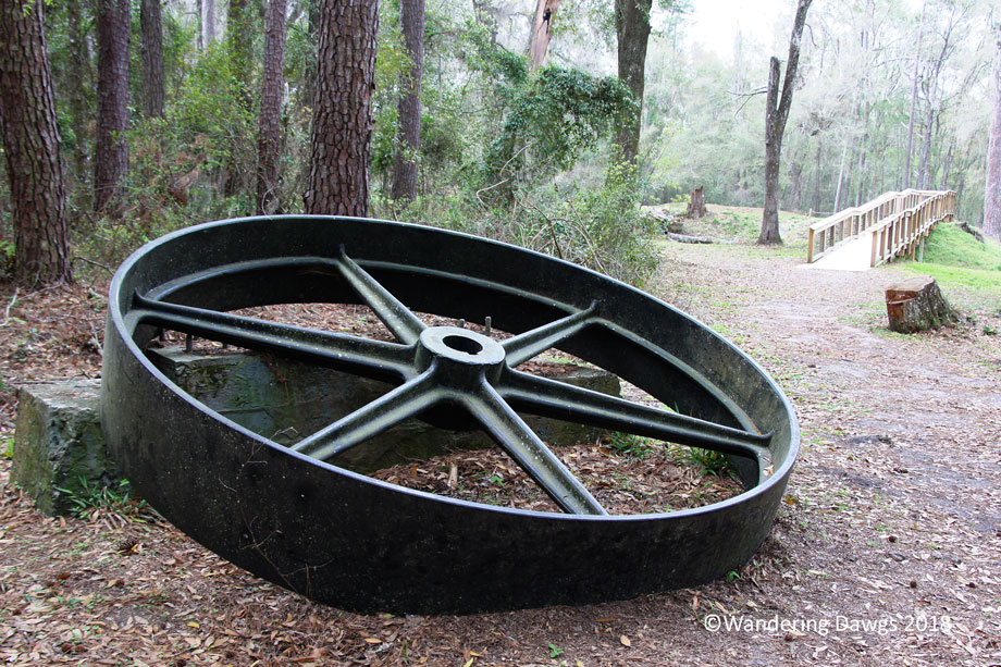
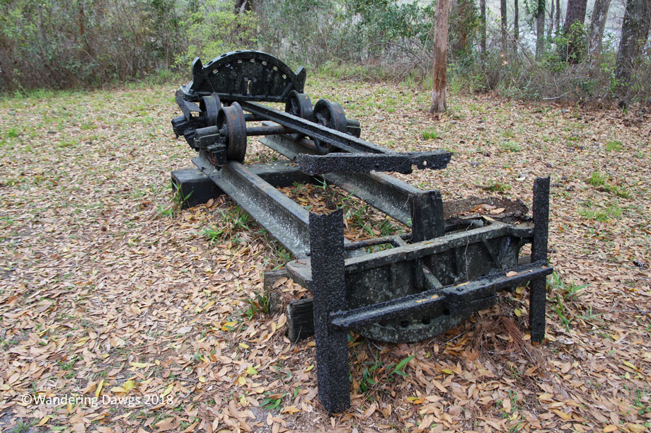
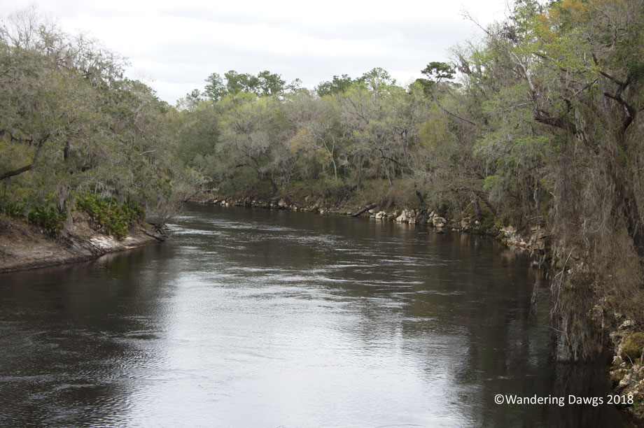
One day we took a drive to Suwanee River State Park near Live Oak to check it out. High on the banks above the Suwanee River, we enjoyed a walk on an easy trail to the confluence of the Suwanee and Withlacoochee Rivers. Beside the trail were relics from riverboats that once traveled up and down the river.
Relic from old steamboatRelic from old steamboatRelic from old steamboat
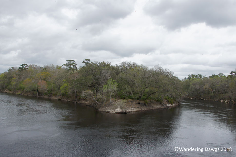
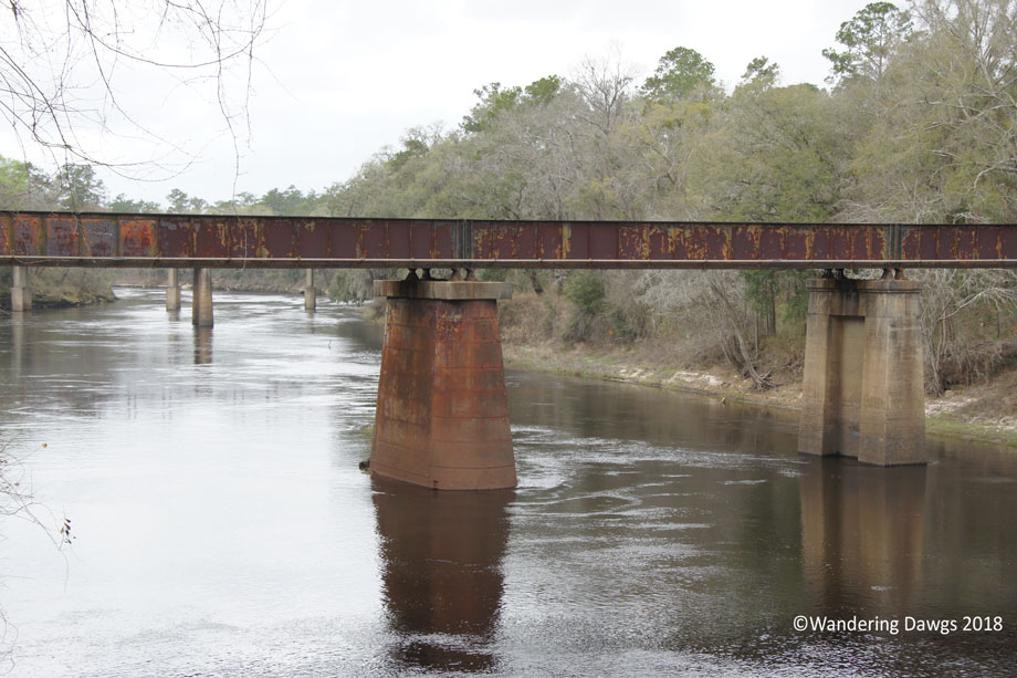
We enjoyed wonderful views from an overlook at the confluence of the two rivers.
Confluence of Suwanee and Withlacoochee RiversBridges over the Suwanee RiverWithlacoochee River
After our walk we sat on a wooden swing overlooking the Suwanee River enjoying a picnic lunch. Doesn’t get much better than that.
Tourists have been traveling to Silver Springs to see the crystal clear water since the early 1800’s. One of Florida’s first tourist attractions, the first glass bottom boat tours began in the late 1870’s. During the 1900’s the attraction grew to include a jungle cruise and animal exhibits.
Silver Springs was a popular filming location for Hollywood during the 1900’s. Some of the films shot there include several Tarzan movies with Johnny Weissmuller, the 1954 version of Creature from the Black Lagoon, and Moonraker (a James Bond movie). It was also a location for the TV series Sea Hunt. Some of the sets still exist around the property.
In 1971, Silver Springs was named a National Natural Landmark. Today, Silver Springs State Park is owned and operated by the state of Florida. The state operates the famous glass bottom boats now but there are no more jungle cruises. Visitors can walk beside the springs or sit in one of the rocking chairs to enjoy the view. There are boardwalks and trails as well as a boat launch area with canoe and kayak rentals.
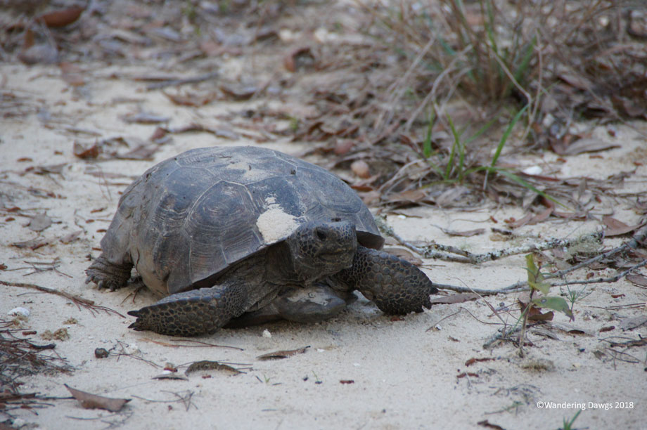
This is one of our favorite Florida state parks and we wanted to spend a few days there to unwind after the excitement of the Daytona 500. We were able to reserve our favorite campsite and I was glad to see it hadn’t change much. There was gopher tortoise hole right next to the campsite just like I remembered and the resident tortoise paid us a visit our first night.
Gopher Tortoise by our campsite at Silver Springs State Park
One day we drove over to the main entrance of the park for a ride on one of the famous glass bottom boats. Captain Oscar has been working at Silver Springs since the early 1960’s and had lots of interesting stories about the park.
Entering Florida’s Silver Springs park
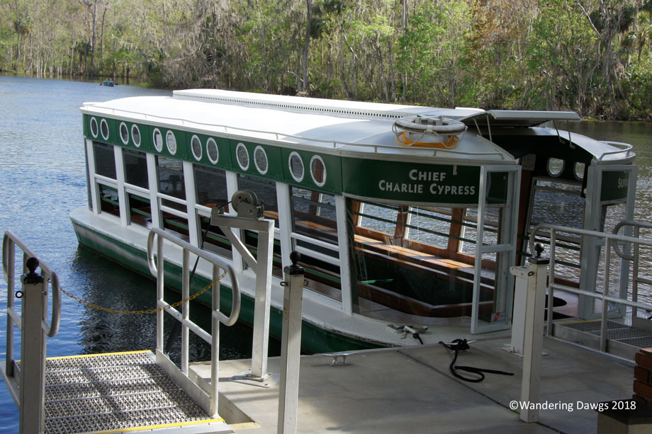
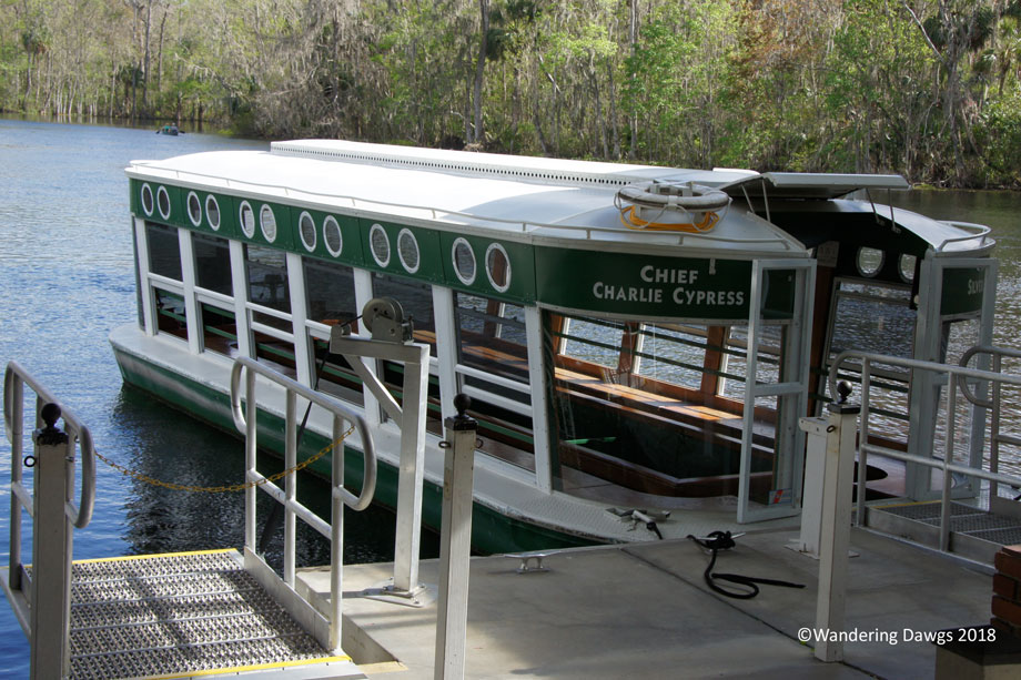
Glass bottom boat at Silver Springs
Captain Oscar has been working at Silver Springs since the early 1960’s
A look through the glass bottom boat
These statues were featured in a tv show and a movie
After the boat tour we wandered around the path next to the springs before taking a walk on the boardwalk trail.
Boardwalk trail at Silver Spriings
The trunk of this palm tree looks like a corkscrew
An unusual looking palm tree in the Silver River
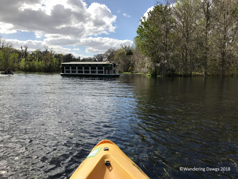
Another day we rented a kayak for a beautiful paddle on the Silver River.
Kayaking the Silver River at Silver Springs
Although there are no more jungle cruises, this fort built for the attraction is still standing
Quiet and peaceful along the Silver River
I felt like I was in one of the old Tarzan movies as I walked along the river trail near the campground.
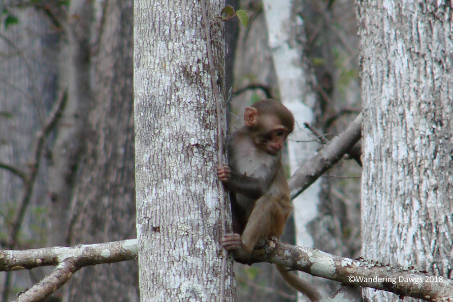
Back in the 1930s during the day of the Jungle Cruise boat ride, the operator of the ride brought in a group of wild rhesus monkeys to use as part of the attraction. Not knowing they could swim, he left them on one of the islands beside the Silver River. When he later returned to the island he was surprised to see they were gone. The monkeys are still living in the area and are often seen by visitors.
Although we didn’t see any of the monkeys on this visit, we saw many of them when we kayaked down the Silver River in 2009.
Wild Rhesus Monkey along the Silver River in 2009
We spotted this baby Rhesus Monkey beside the river in 2009. He must be all grown up now.
The monkeys can be very aggressive at times. All around the park are signs warning about the danger of feeding the monkeys. Now where else in the United States would you see a sign like this?
What better way to begin our winter southern adventure than a stop in one of our favorite state parks, Stephen C. Foster State Park in the Okefenokee National Wildlife Refuge.
Much of the swamp is covered with thick peat deposits. The early Native Americans named the area Okefenokee which means “land of trembling earth” because they felt the movement of the peat beneath their feet as they walked.
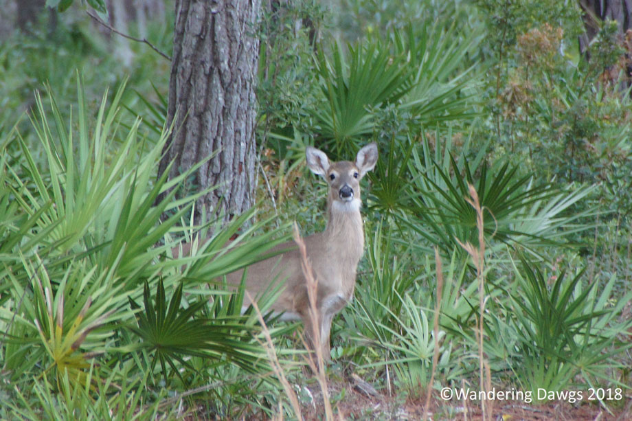
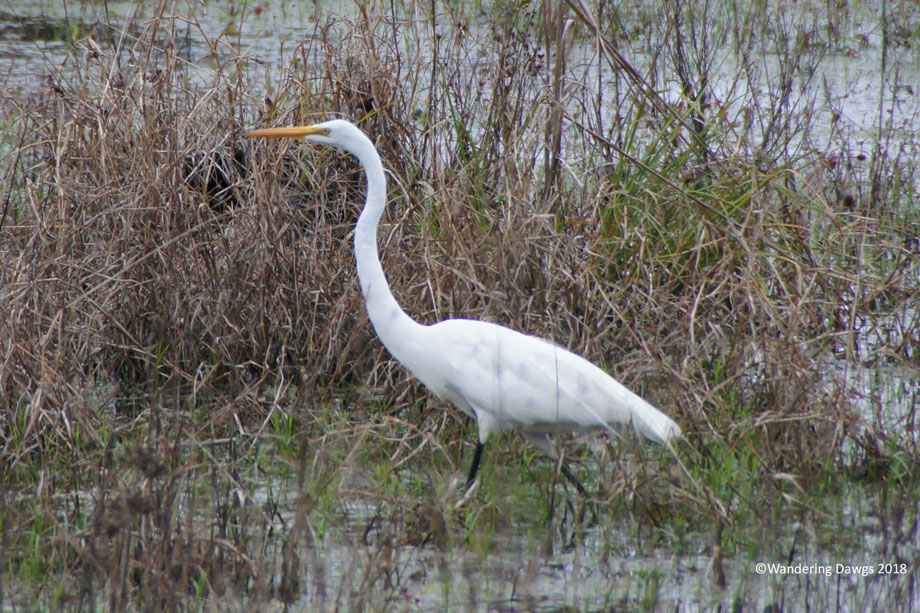
There were deer in the campground every day. One day we took a walk on the boardwalk nature trail near the marina and watched an egret searching for food.
White Tailed Deer in the OkefenokeeEgret in the Okefenokee
The Okefenokee Swamp is one of North America’s most unspoiled natural wilderness areas. According to the U. S. Fish and Wildlife Service Okefenokee National Wildlife Refuge web page, “the Okefenokee National Wildlife Refuge has 353,981 acres of National Wilderness Area within the refuge boundaries.
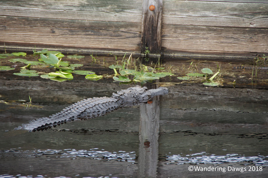
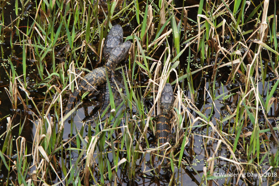
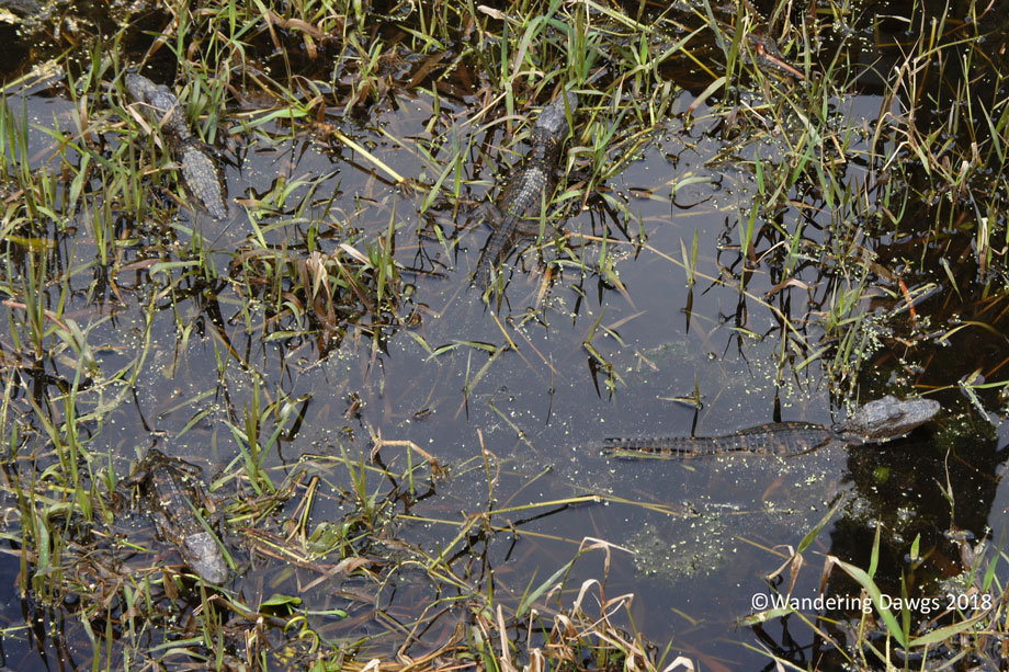
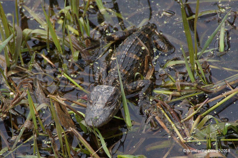
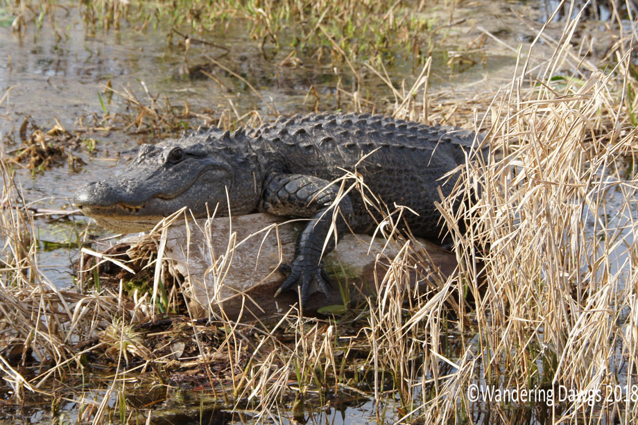
We always enjoy going out in a boat to explore the swamp. On our last visit we enjoyed our ranger guided boat tour so much we decided to go on another tour. While waiting for the tour to begin we wandered around the boat ramp and discovered Mama gator Sophie lounging by the ramp with some of her babies hanging out nearby.
Mama Sophie by the boat ramp with her babies nearbyYoung alligatorsYoung alligatorsYoung alligator
As we rode through the man made canal into the swamp we spied more young gators on the bank enjoying the warm day.
Young alligators on the bank
A large gator checked us out as we exited the canal into the swamp.
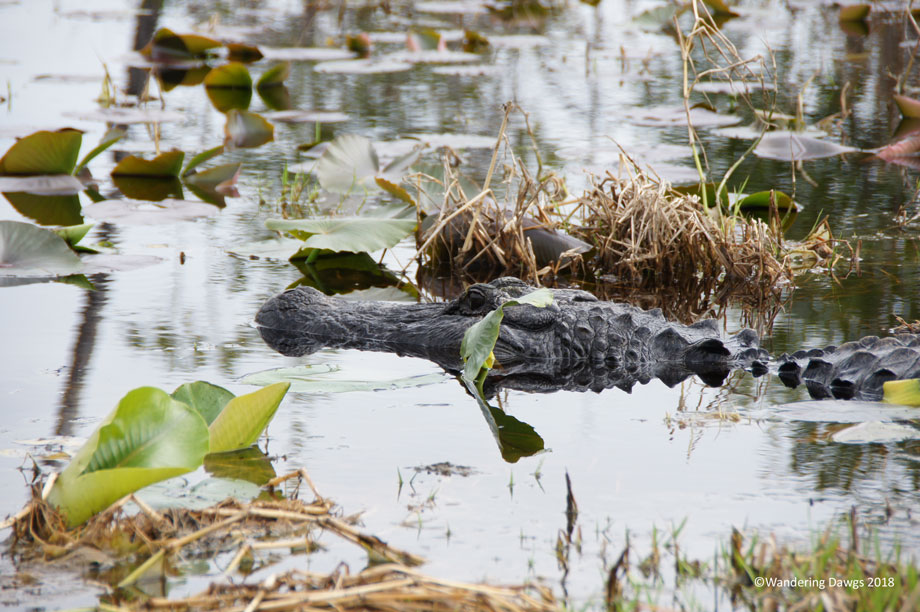
Alligator in the Okefenokee
After a few days of cloudy skies and chilly days the sun was starting to warm things up. The warmer weather brought out plenty of wildlife.
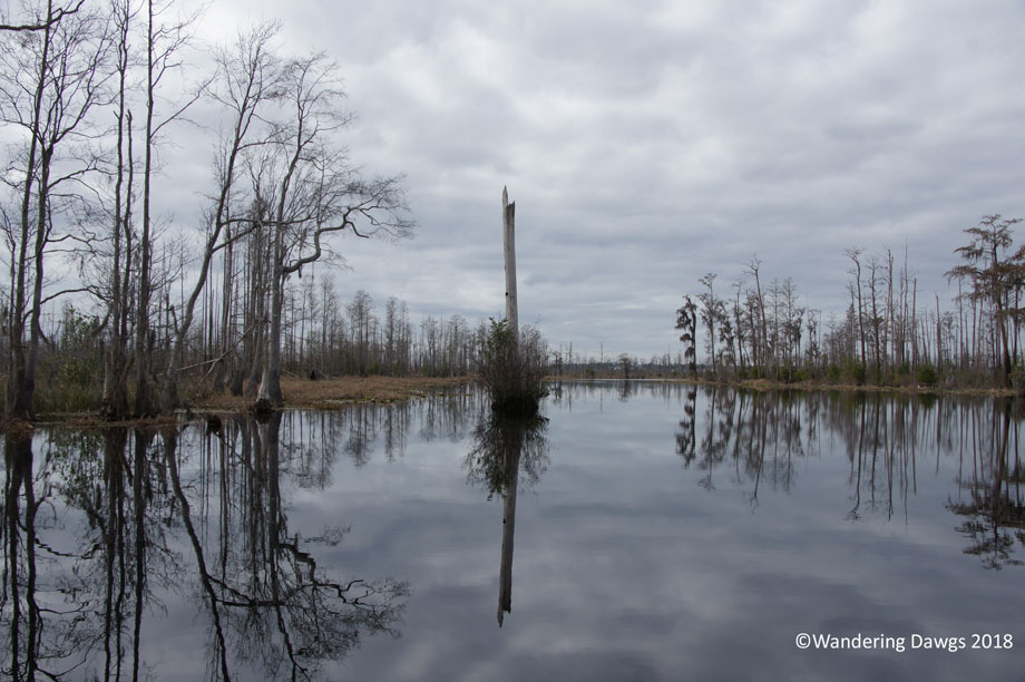
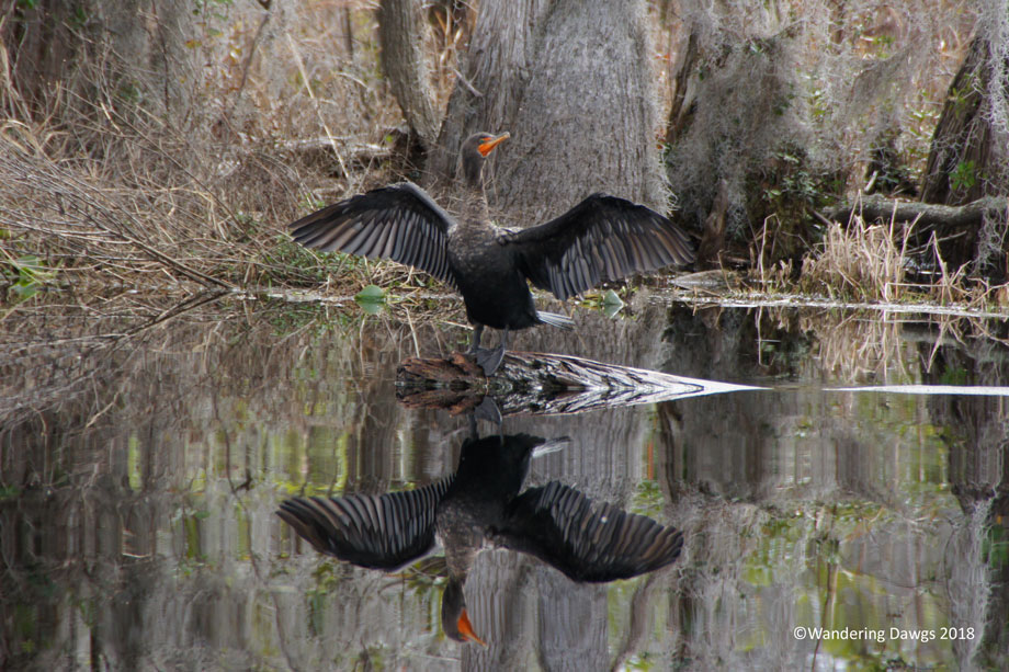
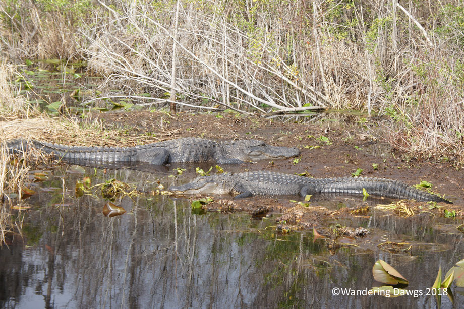
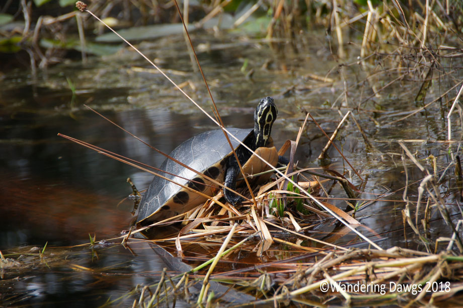
Okefenokee SwampCormorant in the OkefenokeeAlligator in the OkefenokeeAlligators enjoying some warm weatherTurtle in the swampHanging out in the Okefenokee
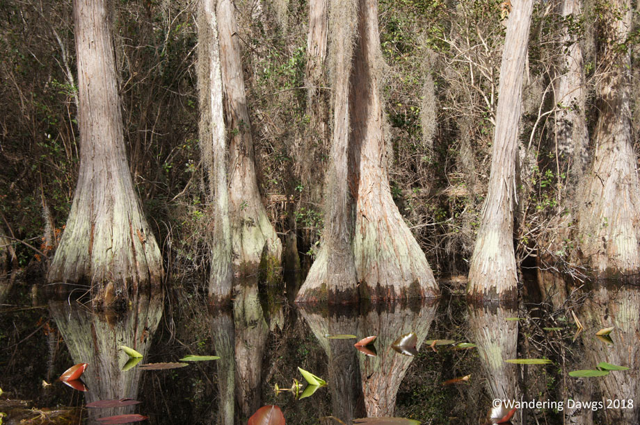
The water winds through ancient cypress trees and water lilies.
Beautiful day in the OkefenokeeCypress Trees in the Okefenokee
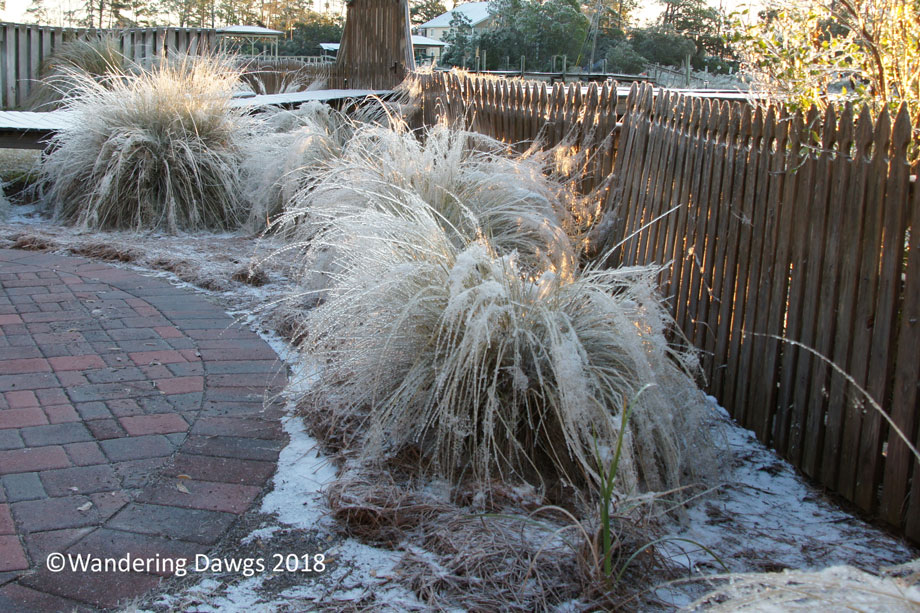
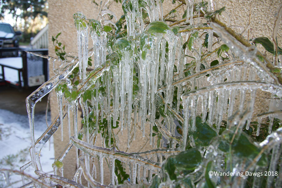
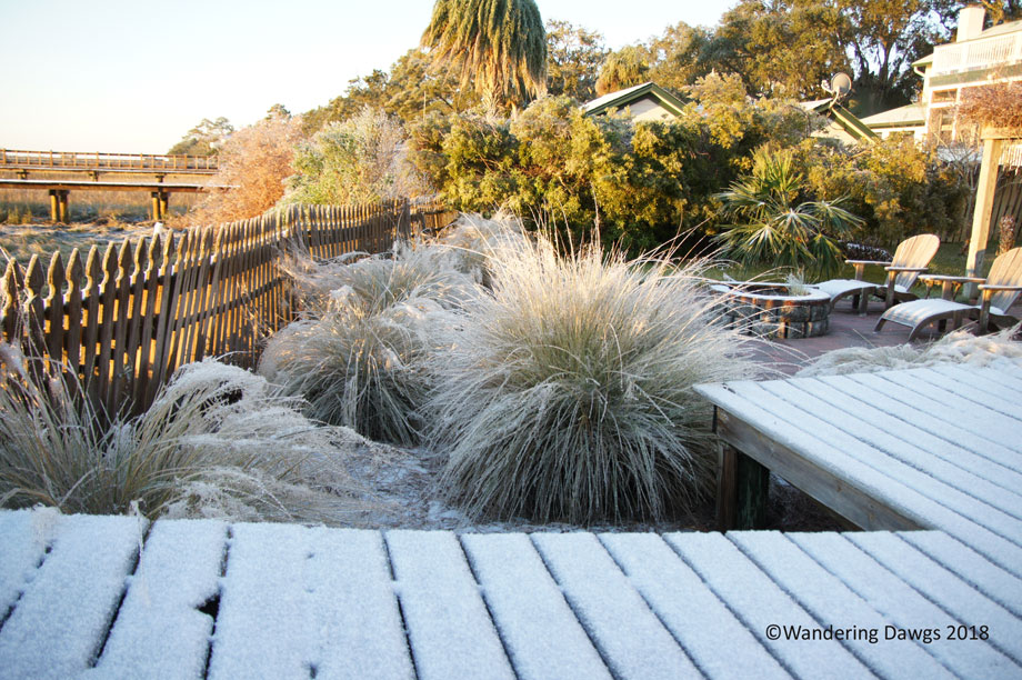
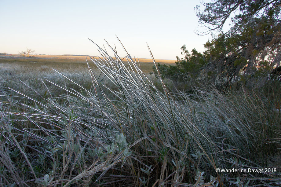
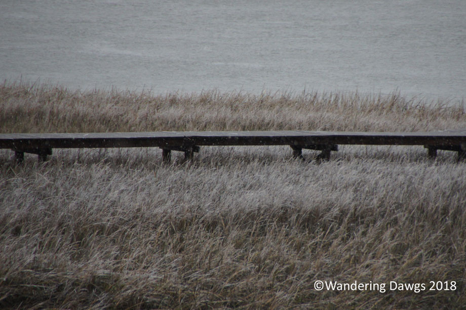
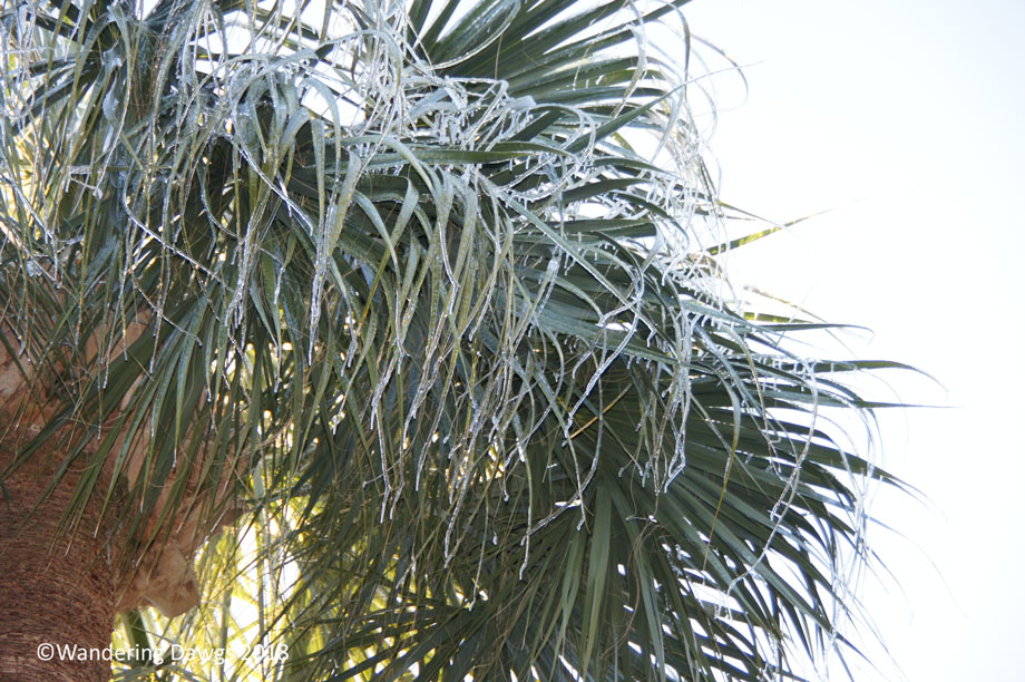
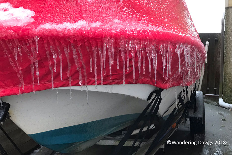
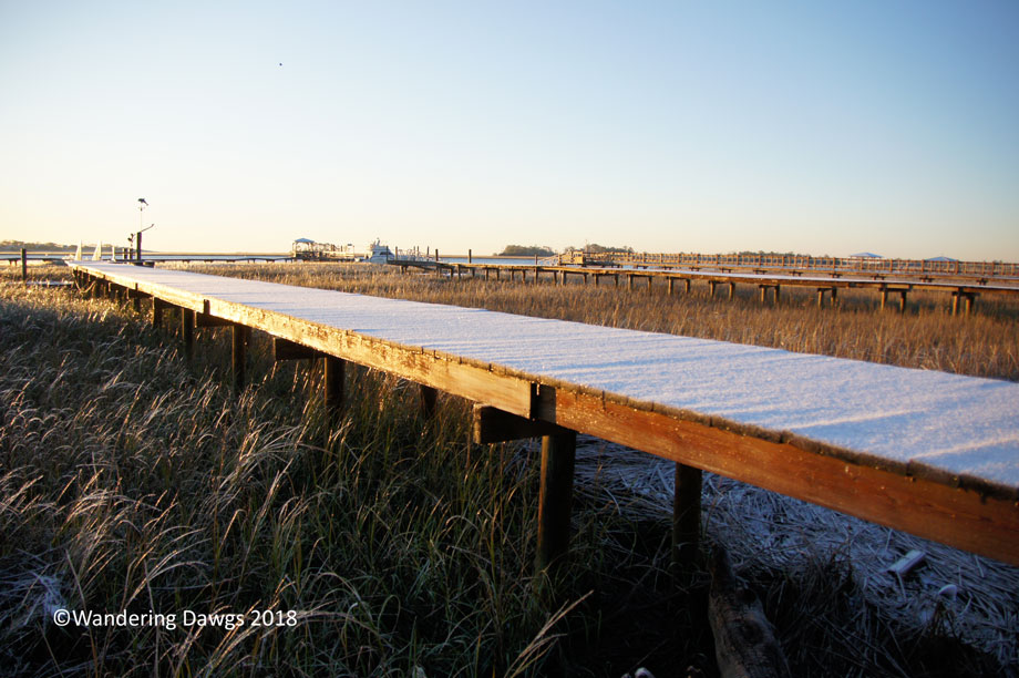
Snow and ice storms are rare in coastal Georgia. The last time we had snow that stuck was a few days before Christmas in 1989.
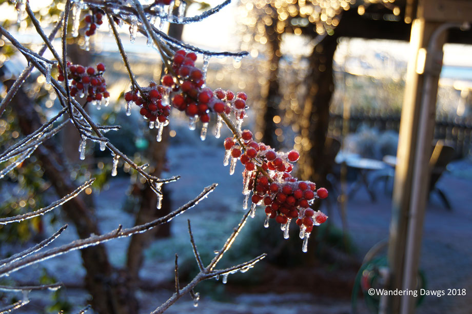
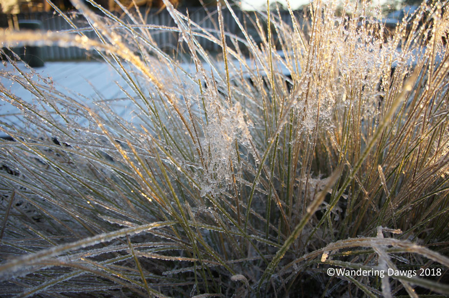
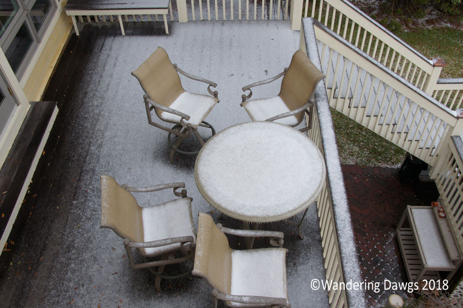
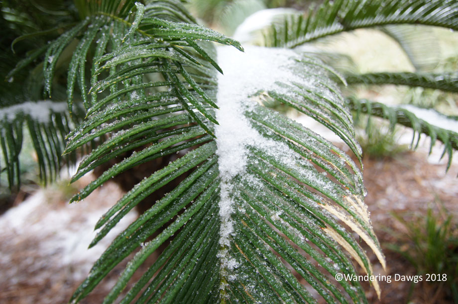
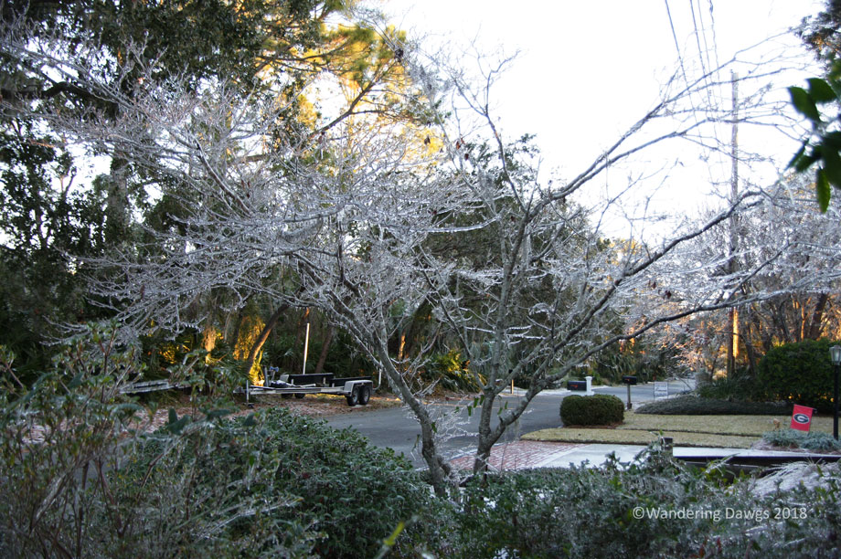
The freezing rain and snow that came through on January 3, 2018 caused road and bridge closures. Schools were out and government offices were closed. Coastal Georgia was transformed into a winter wonderland.
Marsh GrassSnow on the deckSnow covered palm frondsIcy Dogwood TreeIcy Muhly GrassIcicles in JanuarySnow and ice in JanuaryMarsh GrassIce covered salt marshPalm FrondsEven the boat cover was covered with iciclesSnow covered walkway over the marsh