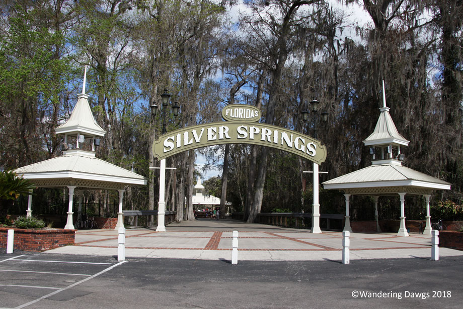
Tourists have been traveling to Silver Springs to see the crystal clear water since the early 1800’s. One of Florida’s first tourist attractions, the first glass bottom boat tours began in the late 1870’s. During the 1900’s the attraction grew to include a jungle cruise and animal exhibits.
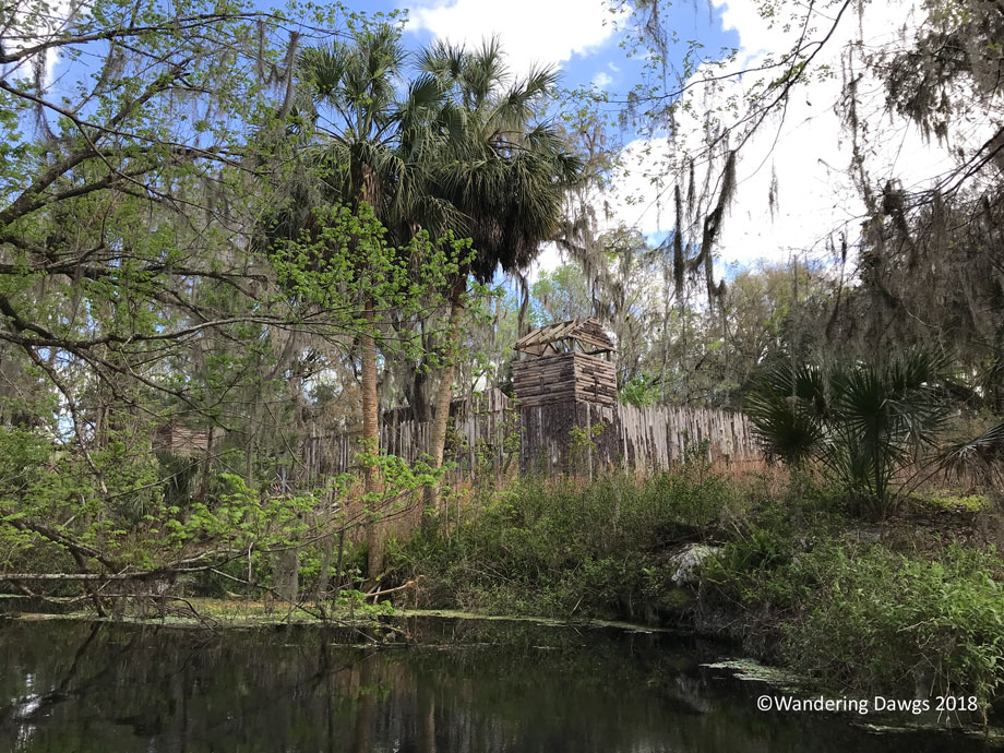
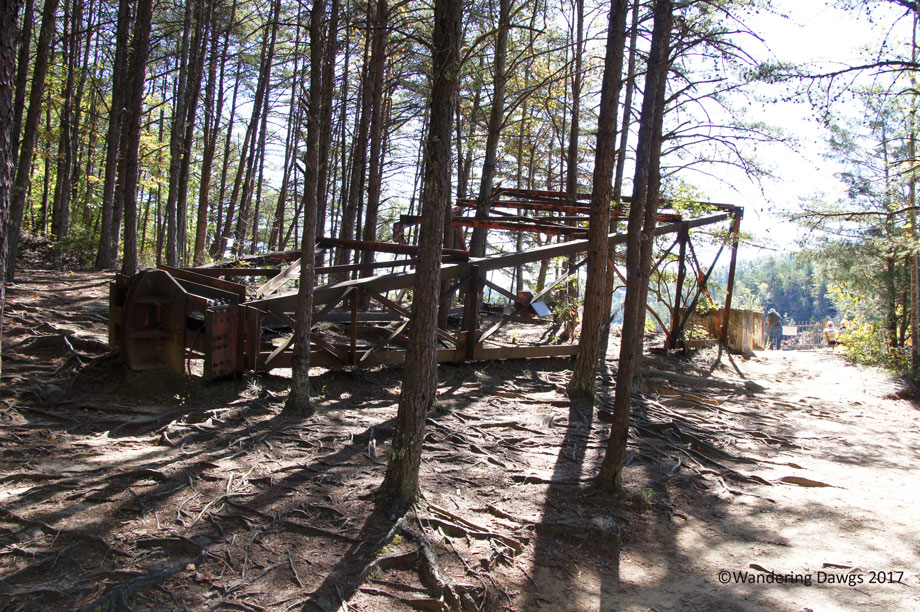
Silver Springs was a popular filming location for Hollywood during the 1900’s. Some of the films shot there include several Tarzan movies with Johnny Weissmuller, the 1954 version of Creature from the Black Lagoon, and Moonraker (a James Bond movie). It was also a location for the TV series Sea Hunt. Some of the sets still exist around the property.
In 1971, Silver Springs was named a National Natural Landmark. Today, Silver Springs State Park is owned and operated by the state of Florida. The state operates the famous glass bottom boats now but there are no more jungle cruises. Visitors can walk beside the springs or sit in one of the rocking chairs to enjoy the view. There are boardwalks and trails as well as a boat launch area with canoe and kayak rentals.
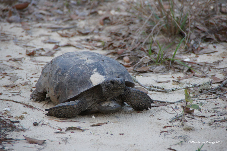
This is one of our favorite Florida state parks and we wanted to spend a few days there to unwind after the excitement of the Daytona 500. We were able to reserve our favorite campsite and I was glad to see it hadn’t change much. There was gopher tortoise hole right next to the campsite just like I remembered and the resident tortoise paid us a visit our first night.
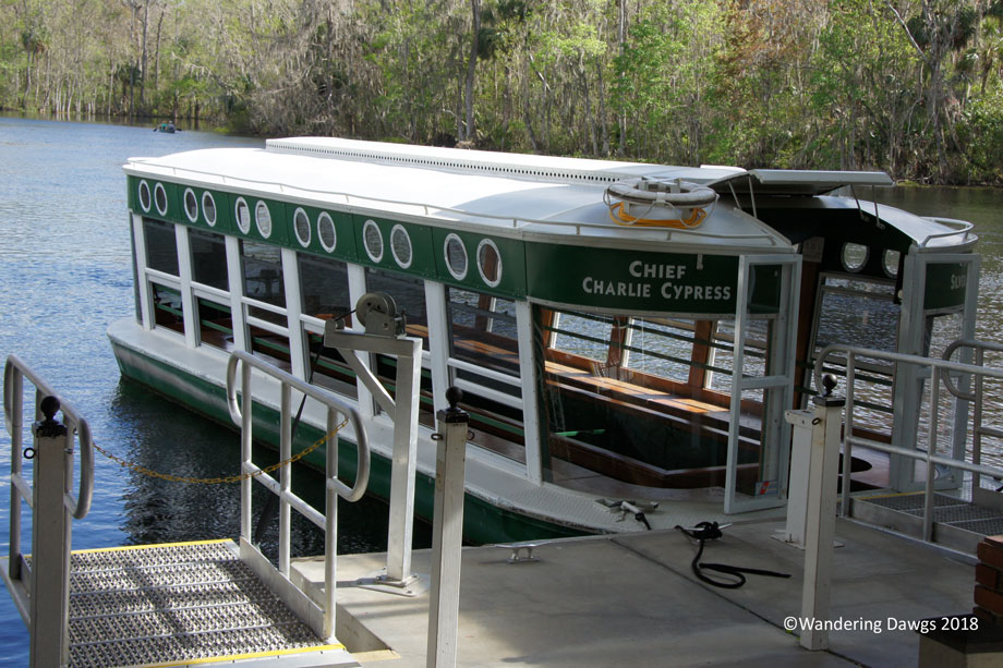
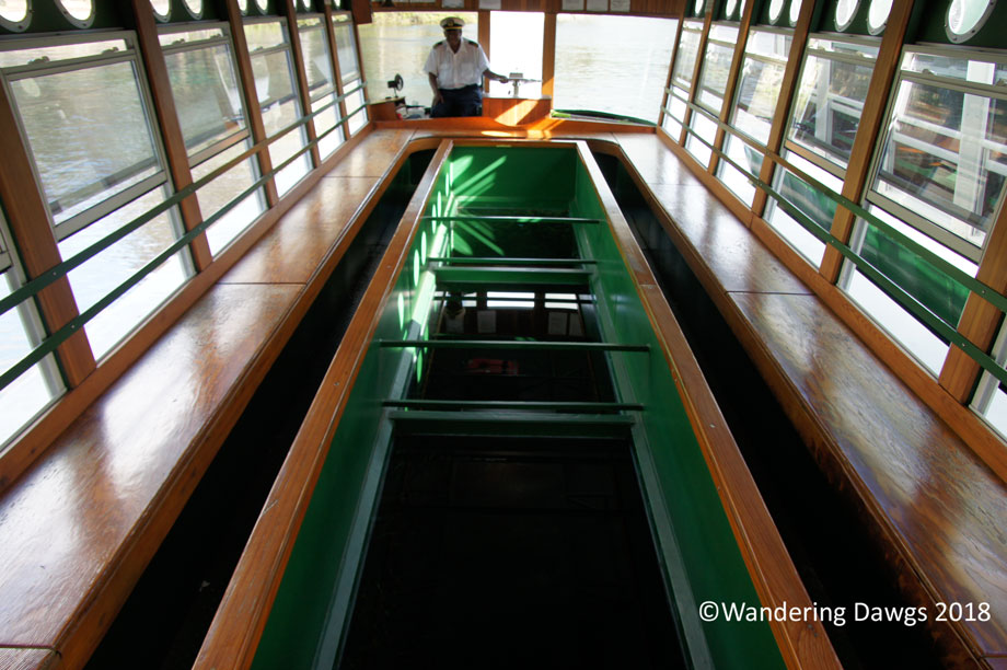
One day we drove over to the main entrance of the park for a ride on one of the famous glass bottom boats. Captain Oscar has been working at Silver Springs since the early 1960’s and had lots of interesting stories about the park.
")
")
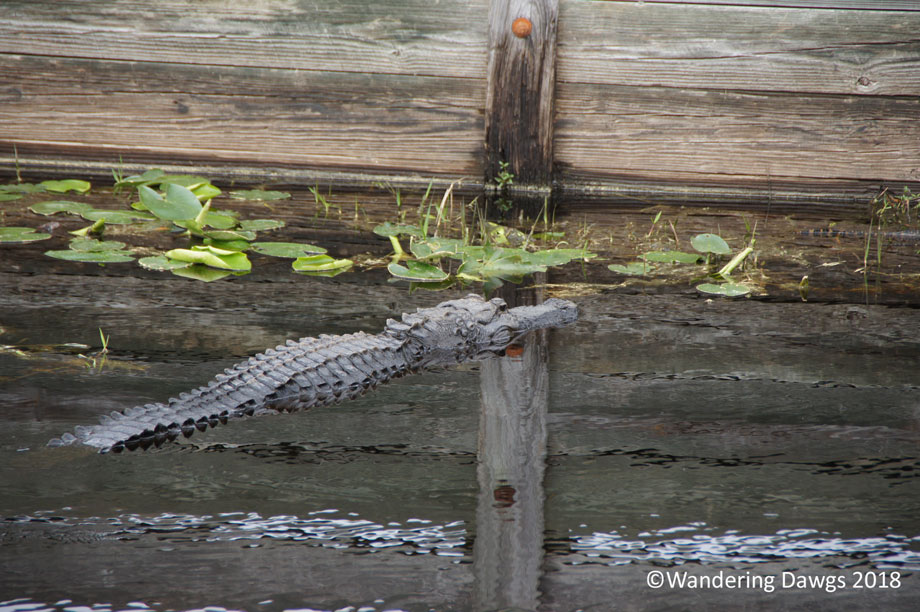
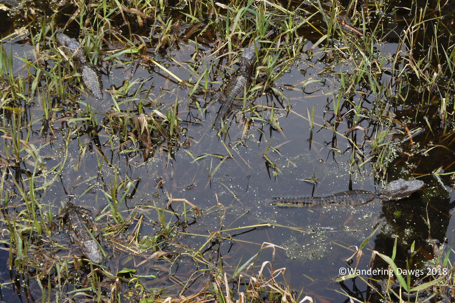
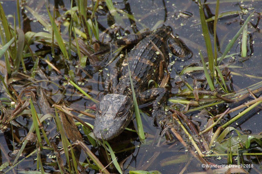
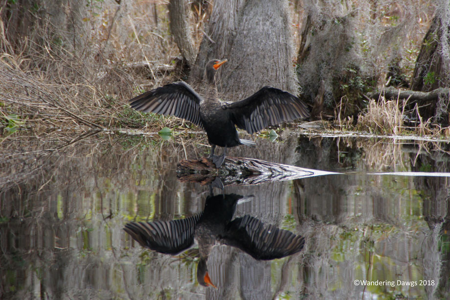
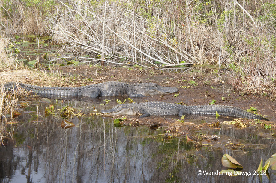
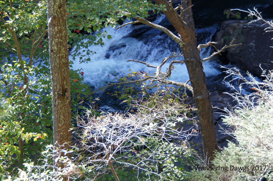
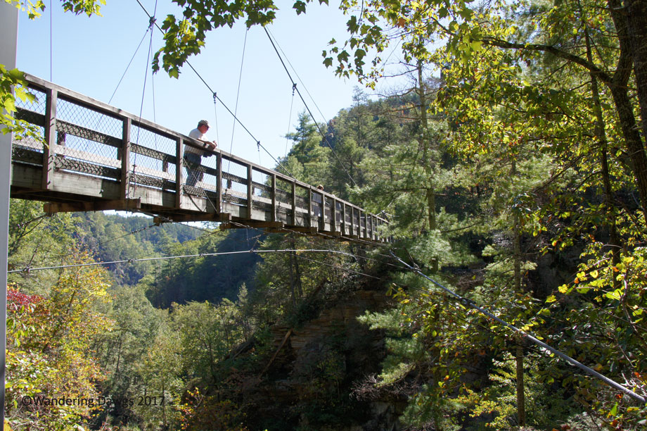
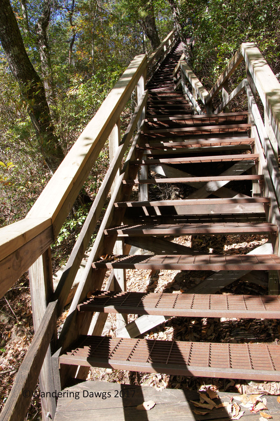
After the boat tour we wandered around the path next to the springs before taking a walk on the boardwalk trail.
")
")
")
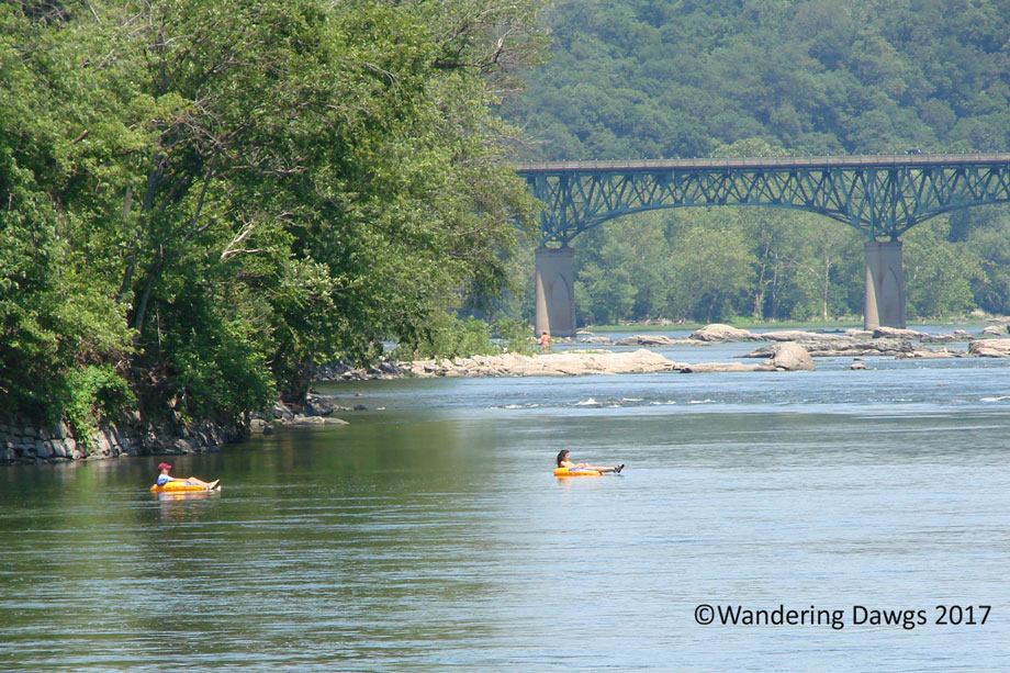
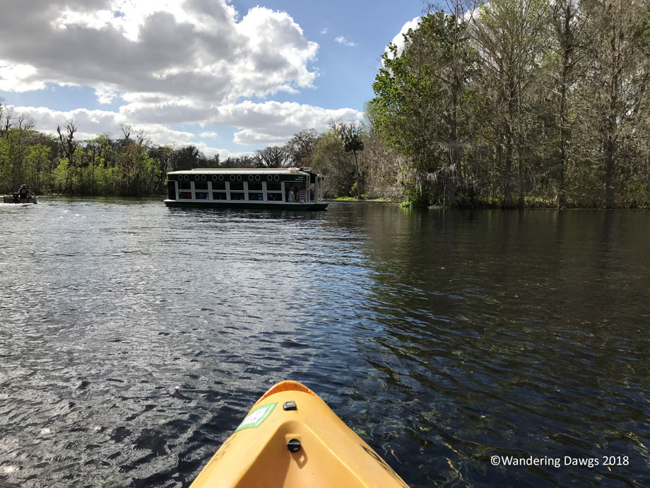
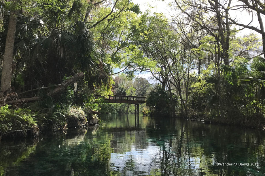
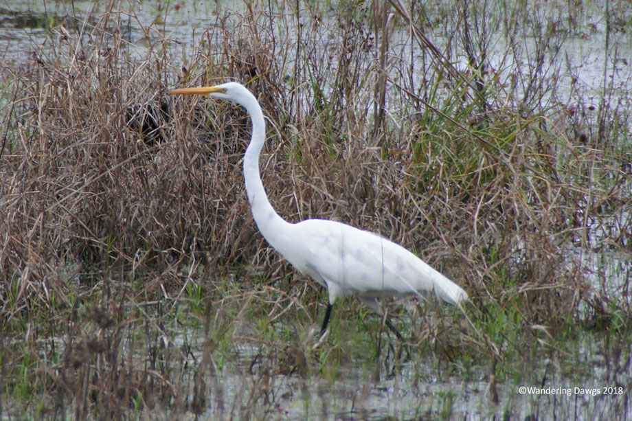
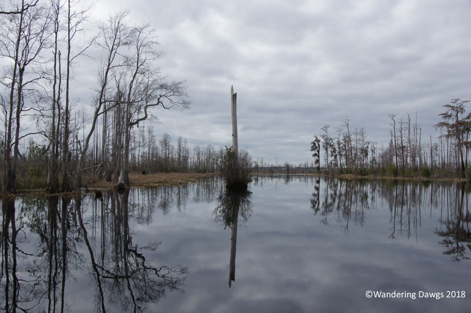
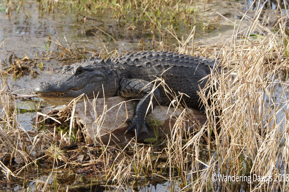
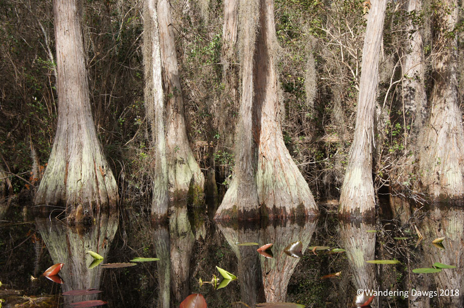
Another day we rented a kayak for a beautiful paddle on the Silver River.
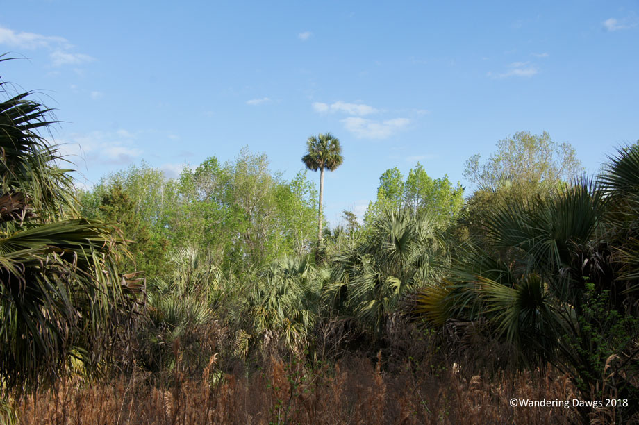
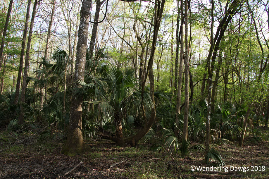
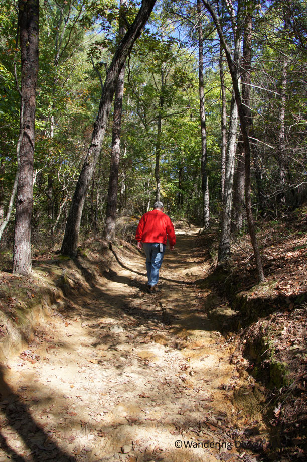
I felt like I was in one of the old Tarzan movies as I walked along the river trail near the campground.
Back in the 1930s during the day of the Jungle Cruise boat ride, the operator of the ride brought in a group of wild rhesus monkeys to use as part of the attraction. Not knowing they could swim, he left them on one of the islands beside the Silver River. When he later returned to the island he was surprised to see they were gone. The monkeys are still living in the area and are often seen by visitors.
Although we didn’t see any of the monkeys on this visit, we saw many of them when we kayaked down the Silver River in 2009.
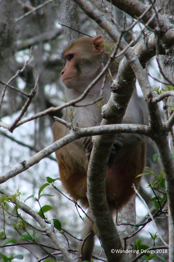
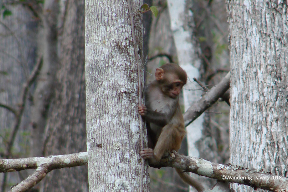
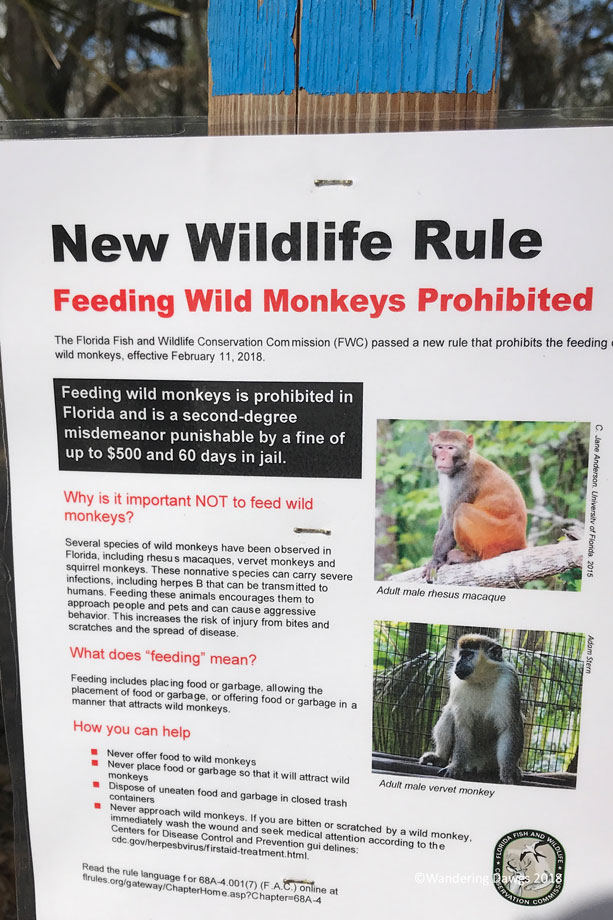
The monkeys can be very aggressive at times. All around the park are signs warning about the danger of feeding the monkeys. Now where else in the United States would you see a sign like this?


")
")
")
")